The premium hiking trail Traufgang Hossinger Leiter is one of the most popular hiking trails in the area of the Swabian Alb. We were almost magically attracted by the circular hiking trail of 8.7 kilometers and in pleasant autumnal weather we set out on the hike “Traufgang Hossinger Leiter”.
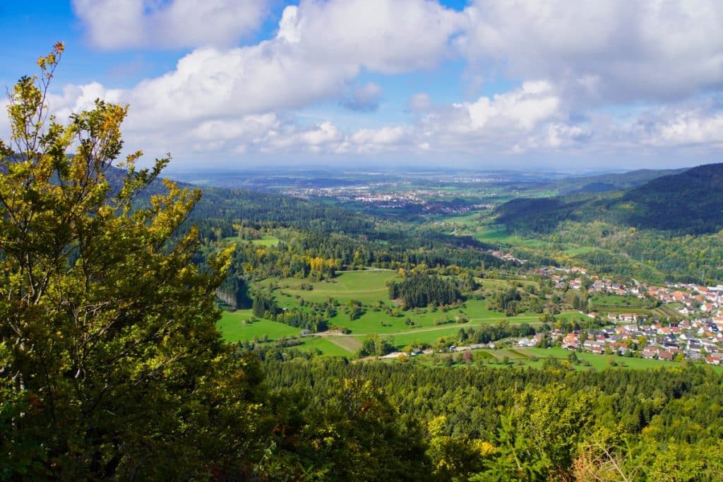
Wht is a Traufgang?
There are eight summer Trauf trails around Albstadt (Schlossfelsenpfad, Wacholderhöhe, Zollernburg-Panorma, Felsenmeersteig, Hossinger Leiter, Ochsenbergtour, Wiesenrunde), one of which is a family short hiking trail (Traufgängerle Hexenküche) and additionally two premium winter hiking trails (Schneewalzer, Wintermärchen). These are certified premium hiking trails that meet the most modern, high standards. The tours have been tested and awarded the “German Hiking Seal” by the German Hiking Institute.
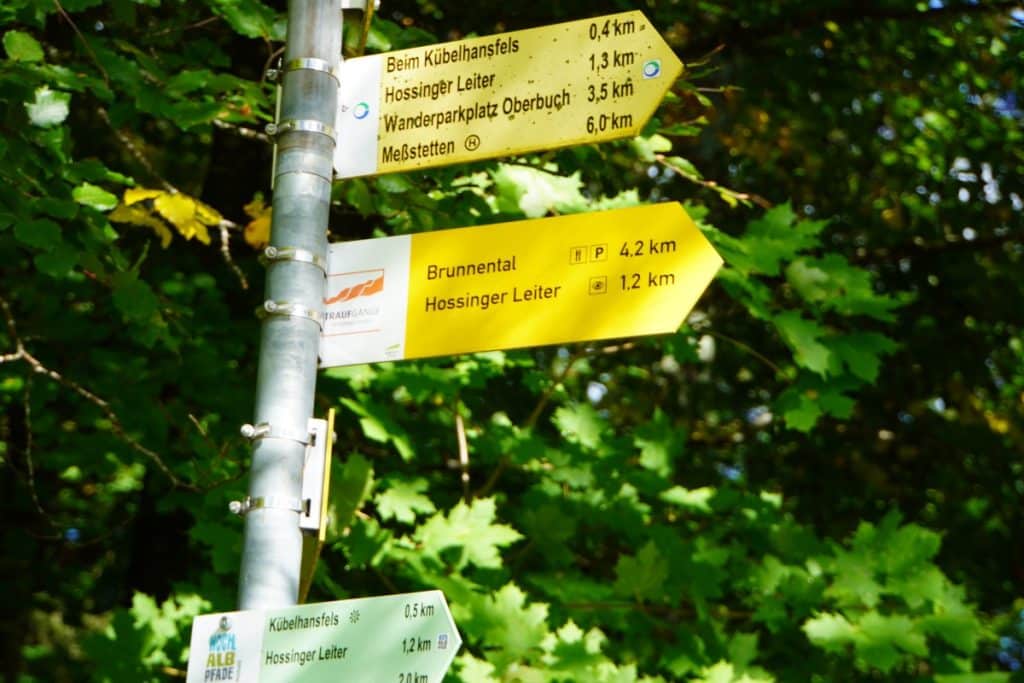
All tours are circular and even without a map the routes are easy to walk due to the very clear signposting.
Hike Traufgang Hossinger Leiter – let’s go!
From Albstadt, we went by car to one of the two hiking parking lots from which you can start the circuit. We decided on the Heimberg Hossingen parking lot. This can be reached via a very narrow path from Hossingen. In the middle of a meadow under trees some cars find a sun-protected parking place. In retrospect, quite good that we had chosen this parking lot. The second hiker’s parking lot is at the Traufganghütte in Brunnental in the Albstadt district of Laufen on the Eyach River. When we passed by there during the hike, there was no free parking space to be seen here.
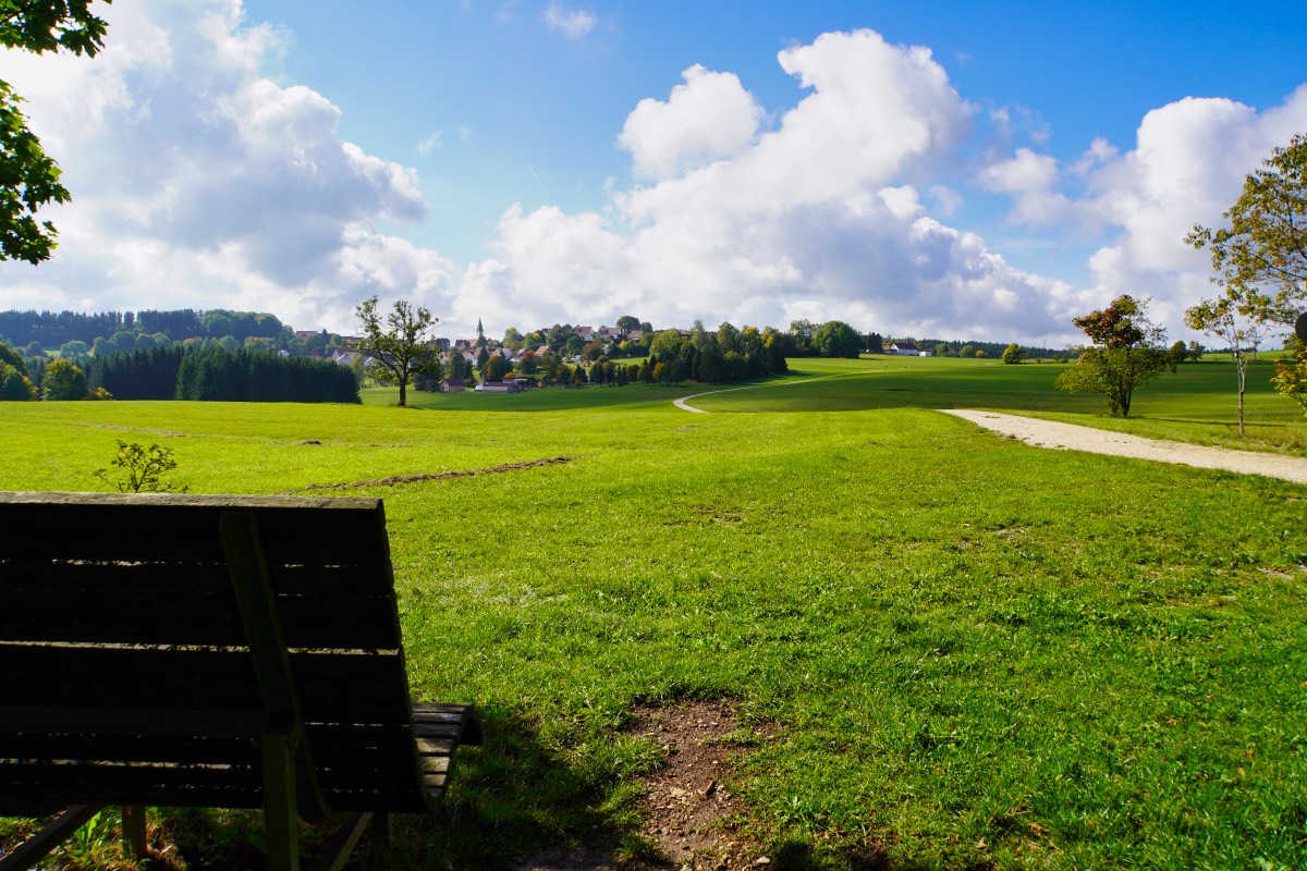
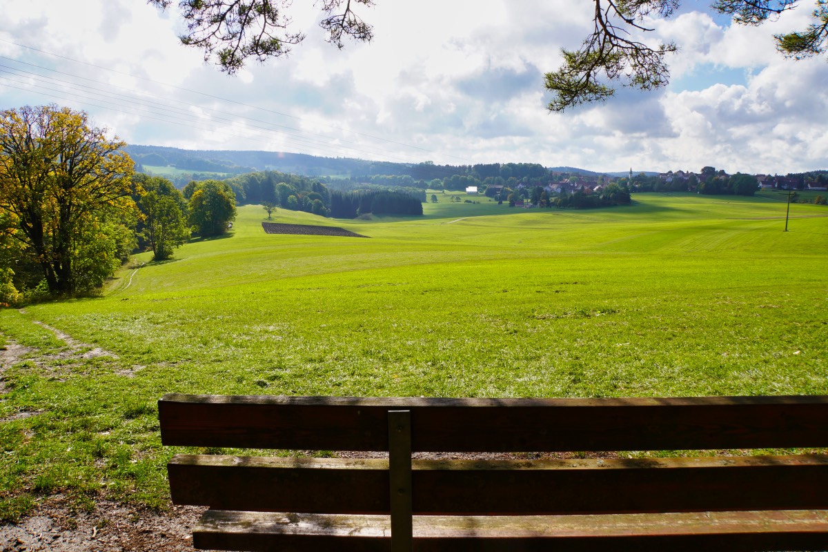
From the parking lot Heimberg Hossingen you first have to get to the starting point of the Traufgang. The best way is to follow the hiking sign in the direction of Hossinger Leiter. A friendly gentleman sent us a somewhat shorter path that runs along a hill.
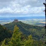
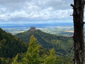
Already here, the feeling of relaxation set in instantly. The view over the plain is simply a dream. Arriving at a bench, we then finally discovered the first signpost of the Traufgang Hossinger Leiter and, as expected, it pointed in both directions. Actually clear, if it is a circular route.
Map to the hike Traufgang Hossinger Leiter
We decided to hike the route counterclockwise. However, most of the hikers we saw / met along the way hiked the trail clockwise. This meant they had to climb up the Hossinger ladders, we walked this section downhill. Which is better? I think that is a matter of taste.
On the way to the Hossinger Leiter
Via a forest path, we first went slightly downhill in the direction of Hossinger Leiter. In the process, the question arose in our minds as to how this path was created.
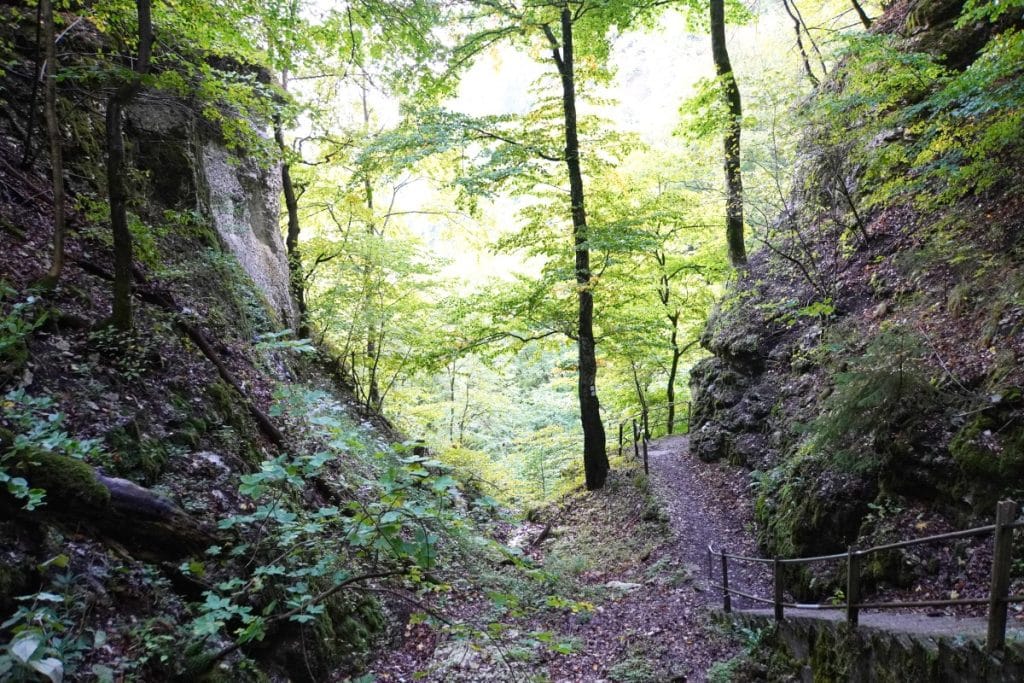
When the Zollernalbbahn was built, the neighboring communities participated in the construction of the station in Lautingen (1899). From this station, a footpath led over ladders through the rocky gorge to Hossingen and formed the shortest and also the only connection for the villagers. This was given the name Hossinger Leitern. Thanks to grants from the Royal Württemberg State Railroad, it was later possible to renew the wooden ladders with stairs, spars and steel bridges. It is said that there is still an unsecured mountain path that corresponds to the medieval path that was used before the wooden ladders were built.
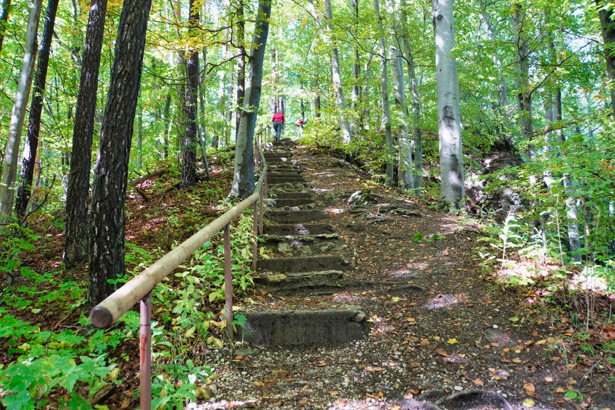
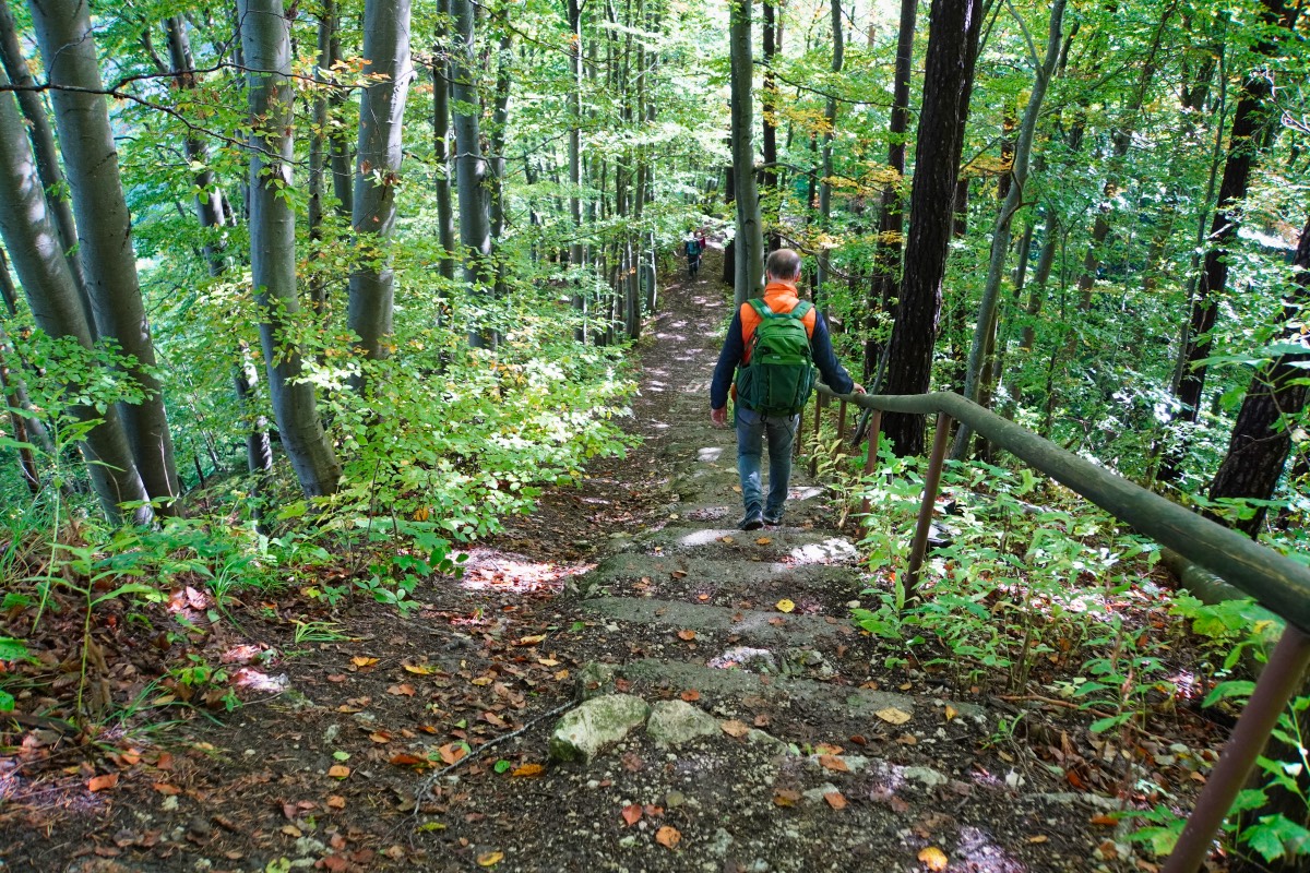
Yes, and then we stood high above the gorge. A path, in which numerous steps are embedded, winds down the slope. Despite the steps, the path is quite steep and, since it had rained a lot the day before, the ground was quite slippery. I was really glad to have a handrail to hold on to. Arrived at the foot of the slope, you stand at a refuge, which was used this morning by some hikers for a break.
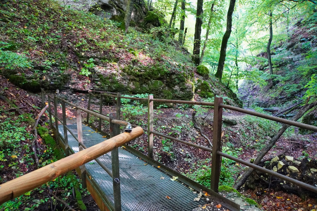
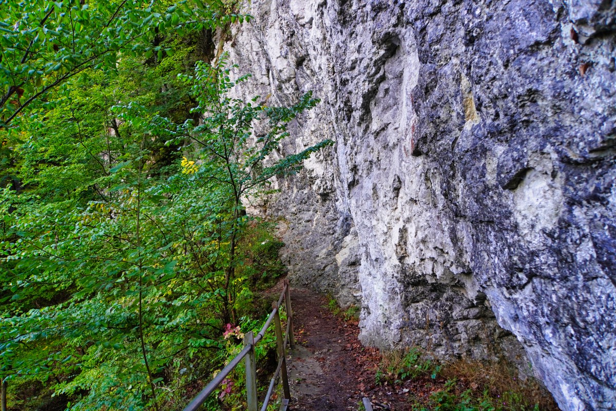
For us, however, the descent was not yet over. The path now continues in the valley bottom. Going over two iron bridges, under which the Lauterbach runs, then always past a steep white-gray Jurassic rock face through the wild, enchanted nature, until the valley widened again somewhat. A beautiful path and despite some oncoming traffic so quiet that you can listen to the sound of the water.
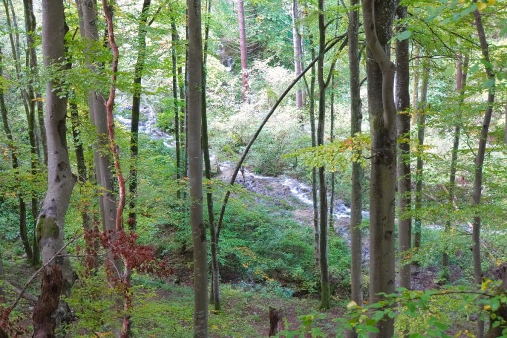
After the valley is somewhat wider again, the initially very natural path also becomes a paved gravel path. This finally reaches a large open plain, which we could later view again from a vantage point.
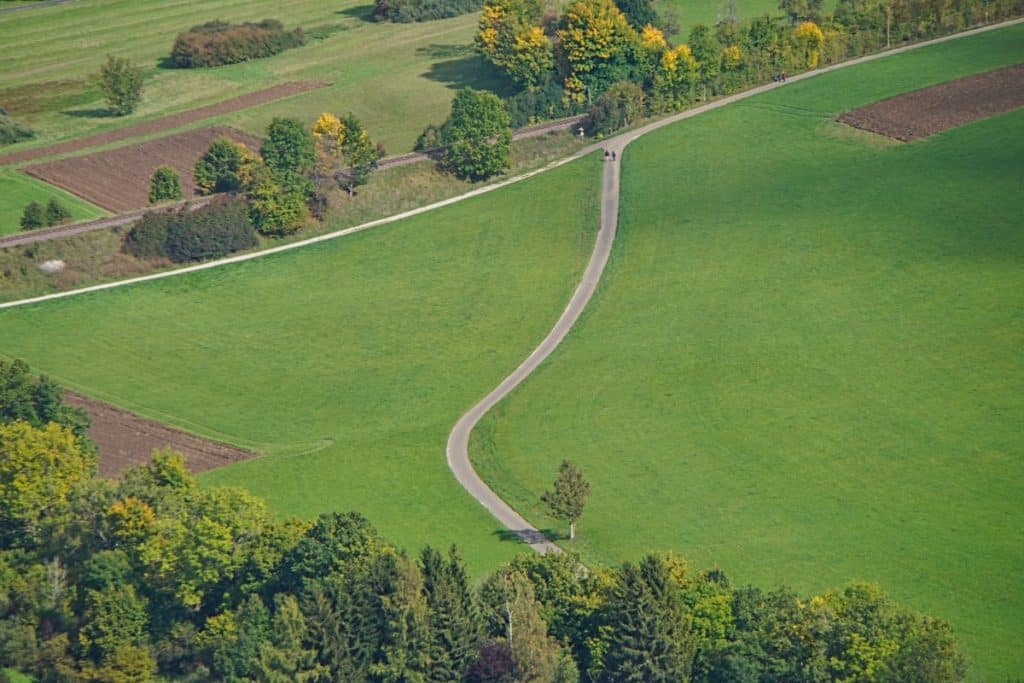
The road is uphill again!
After a short stretch along the railroad line, we reached the second parking lot for hikers with the Traufganghütte Brunnental. Here you can take a break and strengthen your forces, because if you walk the Traufgang Hossinger Leiter counterclockwise as we did, a steep climb begins from there, which lasted until our starting point.
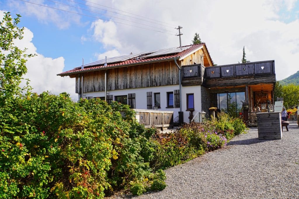
Shortly after the Traufganghütte you get back into the forest and initially the path leads uphill over hill and dale (and on this day mud). Fortunately, the ground changed quite quickly and on a wide gravel path it went further up. You need some stamina and endurance to cope with the path.
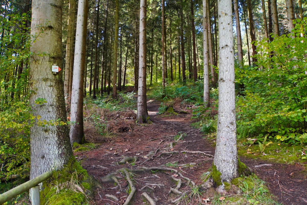
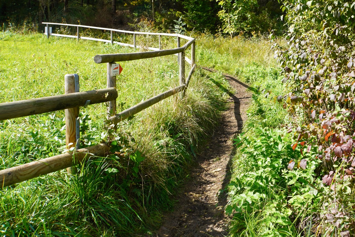
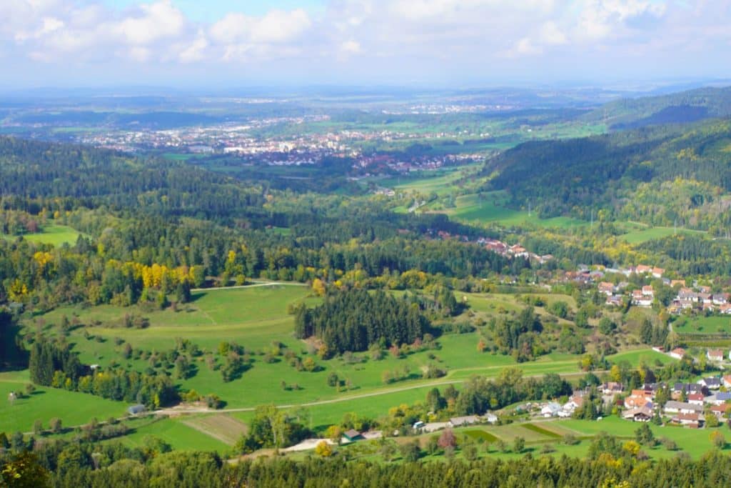
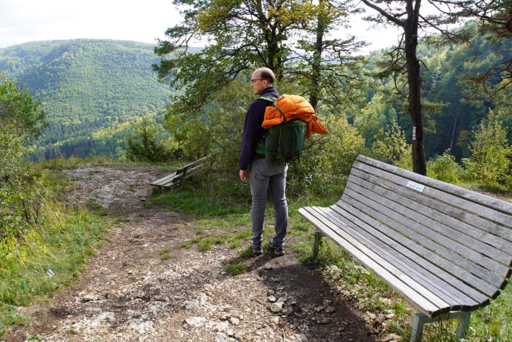
But you reach the summit of the Gräbelesberg with its 915m. Up here was many years ago the castle Gräbelesberg, of which today only wall and ditch remains can be seen. There you can do a small round additionally built into the Traufgang (is also signposted), which you should definitely go. Here are several points from which you can enjoy a fantastic view over the Swabian Alb. For this view alone, the effort of the ascent is worth it!
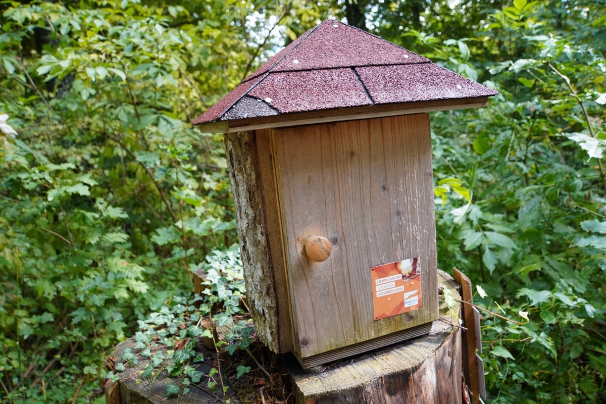
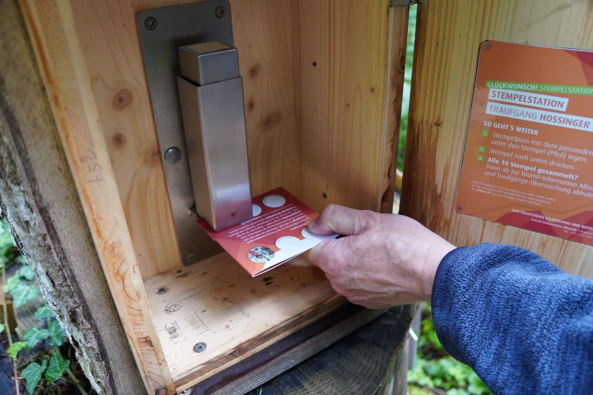
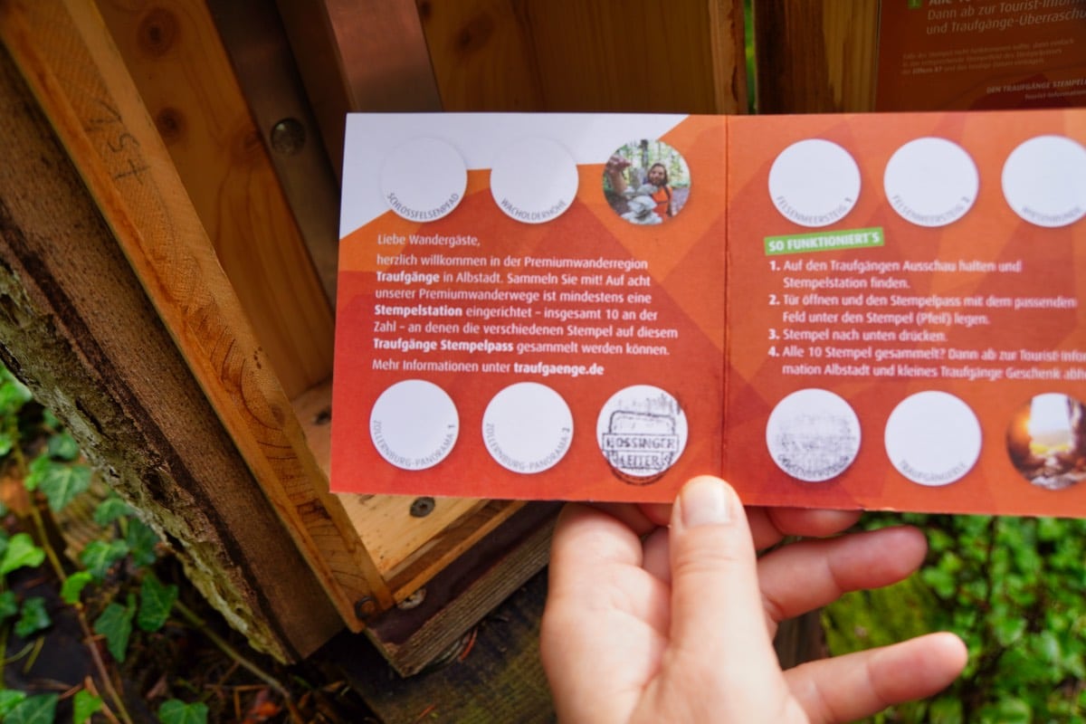
Right at the beginning of the small round on the Gräbelesberg I then also discover the stamp box, for which I had already been on the lookout. There is a stamp card on which you can get a stamp at stations during hikes on the Traufgängen Albstadt. If you have collected 10 individually designed stamps on the various tours, you get a small gift at the tourist information in Albstadt.
For us, it was then just about another kilometer through the forest until we arrived back at the turnoff to the parking lot. There we looked for a bench in the sun and finished the hike with a snack.
Good to know
By train
Zollern-Alb-Bahn 1: Exit at Albstadt-Lautlingen or Albstadt-Laufen. From there it is about 1.6 kilometers to the parking lot Brunnental.
By car
The closest parking lots are the parking lot Brunnental and the hiking parking lot Heimberg Hossingen
The route is about 8.7 kilometers long. You should expect a walking time of about 3.5 h. Due to the route profile and the overcoming of 458 meters of altitude, the Streckel is indicated as “moderately difficult”.
The circular trails are always signposted in both directions. A special logo shows the right way on the paths through nature.
You can reach the Hossinger Leiter only on foot.
Wear well-treaded shoes, as it can be slippery for short periods. Otherwise, wear clothing suitable for the weather.
Some restaurateurs in the region have joined together to form the Traugängen Hosts and offer regional and seasonal dishes along the hiking trails.
You can pick up the small stamp card at the tourist information office in Albstadt or download and print it at traufgaenge.de.
We experienced the Traufgang Hossinger Leiter hike as part of a research trip in cooperation with Albstadt-Tourismus and piroth.kommunikation.


Leave a Reply