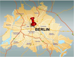
For visitors to Berlin, sightseeing is usually the main focus, but Berlin has more to offer. Berlin is green, with lots of water and there are great opportunities for hiking. How about a hike on the Havelhöhenweg?
The trail was created in the 1950s as part of the emergency program in Berlin. Unfortunately, the maintenance of the trail was neglected for many years. After the Grunewald Forestry Office took over the renovation, not only could a section be made barrier-free, but the numerous stairs, railings and viewpoints were also made user-friendly again and the trail was signposted. There are hardly any information boards on the route; a website explains the “points of knowledge” that can be seen along the route. The route has now been open again since 2004.
Hike on the Havel Heights Trail
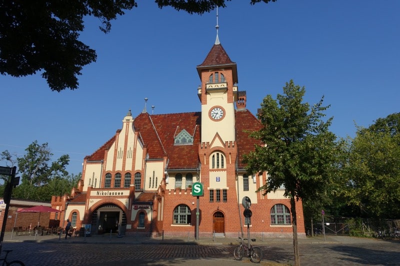
We took the S-Bahn to our starting point, the Nikolassee train station. From there we followed the sign to Strandbad Wannsee.
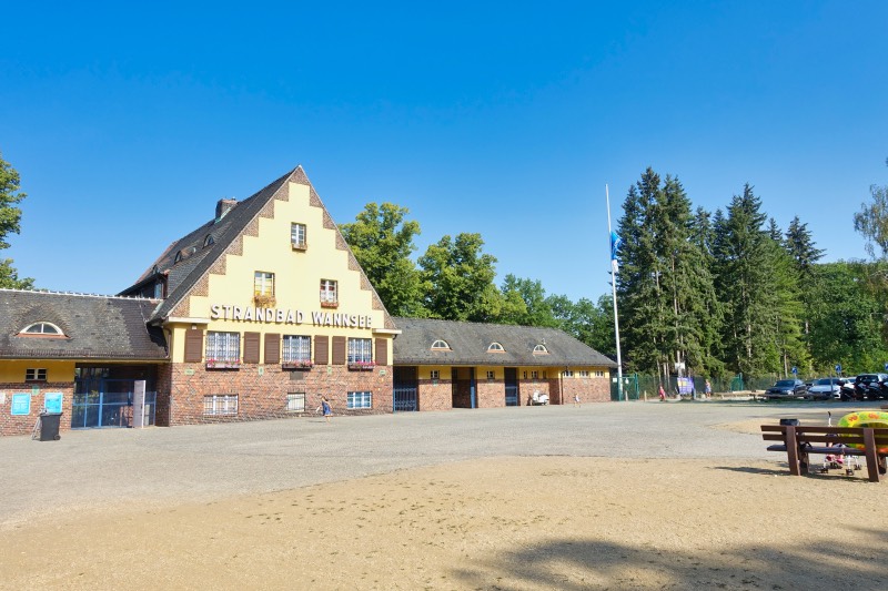
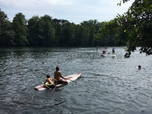
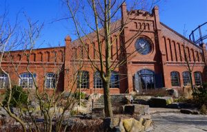
Strandbad Wannsee was built in 1907 and is one of the summer destinations for Berliners. Here you can lie on a sandy beach over a kilometer long, go swimming in the Havel and enjoy the summer. During the high season, it can get crowded at the lido. Up to 30,000 guests then cavort on the listed site.
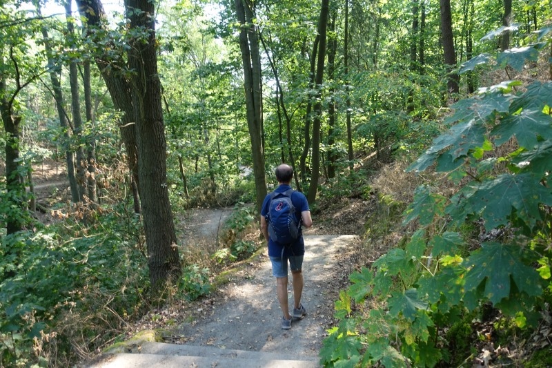
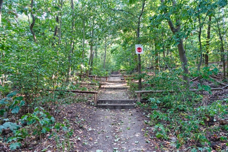
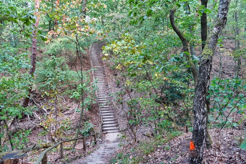
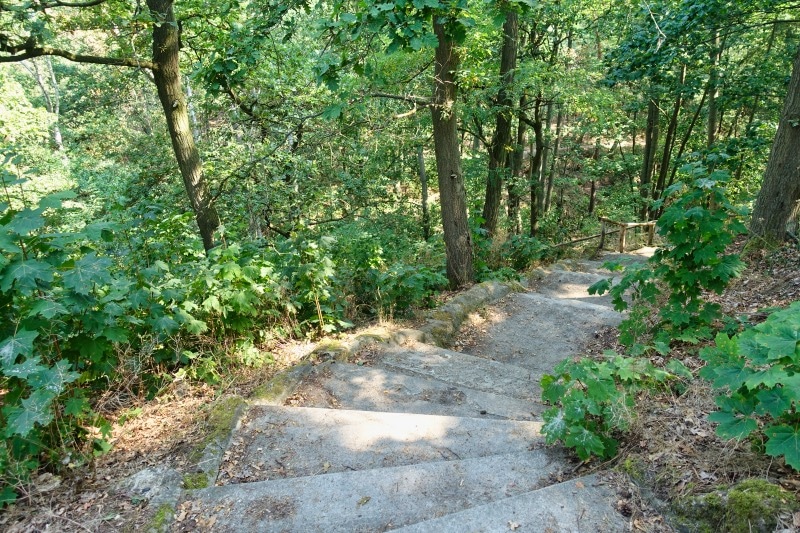
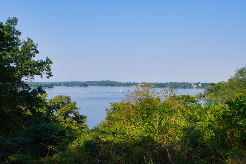
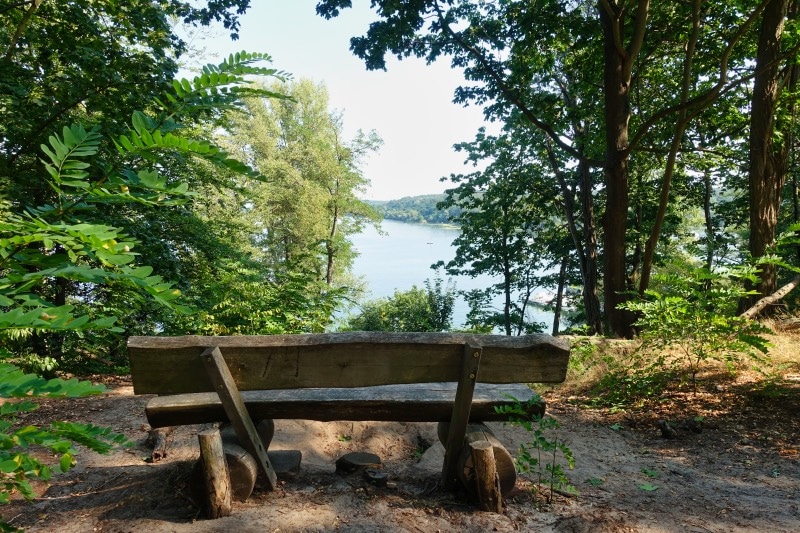
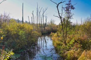
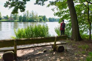
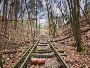
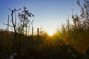
Directly at the end of the parking lot, in front of the lido, the Havel Heights Trail then begins. The path runs above the Havel shore path and is hilly by Berlin standards. It goes uphill and downhill in many places, up and down countless steps and always along the Havel through the pine forest of the Grunewald. But you also pass the “Mortzfeld’schen Löcher”, the small islands of deciduous trees planted around 1900. Here, an attempt had been made to transform the existing pine forest into a mixed forest by artificially cut holes of about 30 meters, which were planted with red oaks and beeches.
In some places you leave the steep coast and cross former meltwater gullies that lead to Havel.
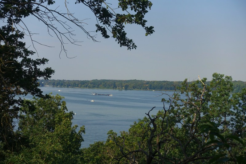
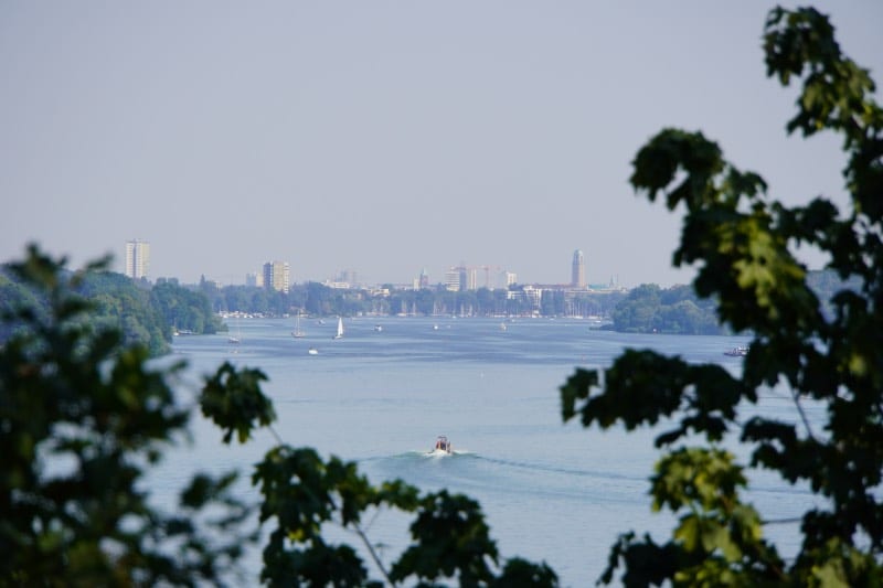
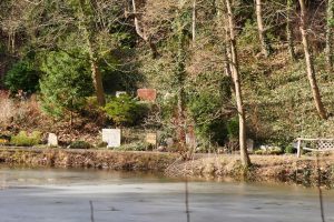
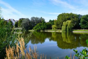
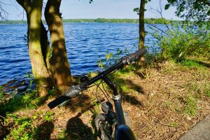
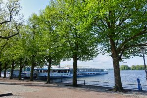
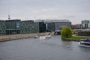
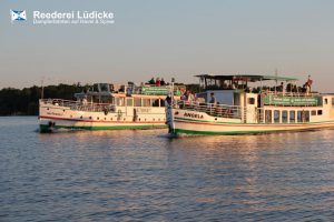
Again and again we stop in between and enjoy the view of the Havel. Boats bob back and forth in the water, the sun laughed from the sky and I was really glad that large sections of the path were in the shade.
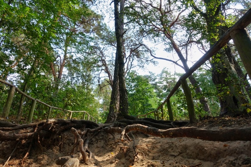
You need a bit of stamina and in some places you should also be surefooted, such as in the places where you have to climb over the exposed roots. You overcome a good 80 meters in altitude and that is a real mountain hike for Berlin conditions.
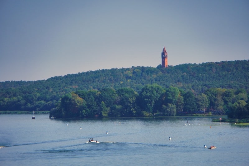
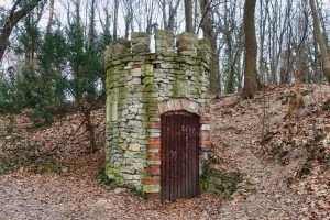
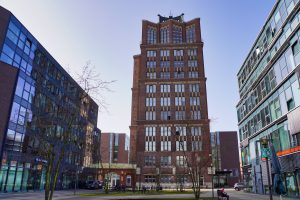
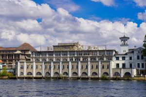
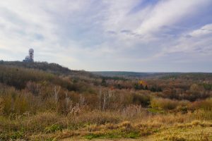
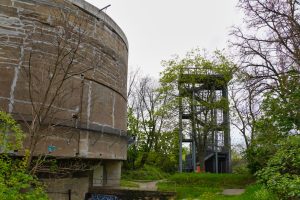
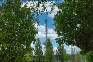
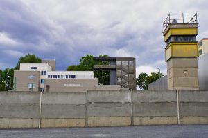
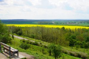
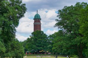
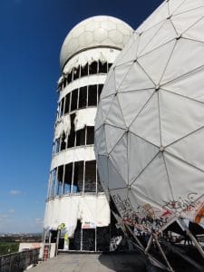
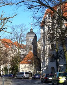
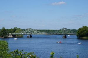
I was amazed to see what you can discover when you look across the Havel. On the other side of the water are mansions and villas, you can see as far as the old town of Spandau with its town hall and the Grunewald Tower is also on the route.
We liked the hike very much. Since we had not started too late and apparently also in contrast to other hikers have run in the direction of Spandau, we came only towards the end of the route some people. Initially, we were alone on the route and have enjoyed the peace and wonderful atmosphere on the water.
I have created a map of our hike, showing the exact course and the length of the route.
Good to know
Start and end of the hike on the Havel Heights Trail
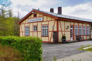
The hiking trail is not a circular trail. Therefore, it makes sense to take public transportation to the starting point. We took the S1/S7 to Nikolassee station. From there, a path leads to Strandbad Wannsee, the starting point of the hiking trail. Our destination, the end of the hike was at the S-Bahn station Pichelsberg (S3/S9) in Spandau.
How long is the hiking route?
From the start of the signposted route to the end is about 10 kilometers. Adding the distances to the public transport, we were about 16 kilometers on the way.
Which hiking sign do I have to follow?
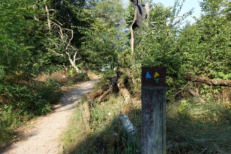
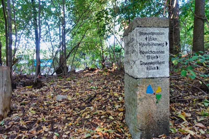
The Grunewald Forestry Office has painted the symbol for the Havel Heights Trail on trees and stones. Sometimes you have to search a bit, but actually the path is excellently signposted. Under the motto of water (blue), knowledge (yellow) and forest (green), a signpost has been created that is a bit reminiscent of a windmill. The Havelhöhenweg belongs to the 20 green main paths in Berlin (path number 12), so you can also follow the dark blue-white-dark blue sign with the 12. However, we have not discovered this signage as often as the colorful logo for the hike on the Havelhöhenweg.
Is there a possibility for a break in a restaurant?
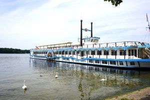
There is a possibility to stop in a restaurant mainly at the beginning and at the end of the hiking route, for example: Restaurant ship “Alte Liebe” Restaurant on the island Lindwerder Wannseeterrassen Seehotel Grunewald


Leave a Reply