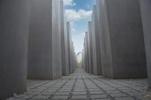
Heavy burden body and SA-Memorial Site SA Prison Papestraße – on the way on the history parcours
Around General-Pape-Strasse, you can discover the former military site at 14 stations with the help of the history trail. Two stations are particularly impressive – the heavy load body and the SA-Memorial Site SA Prison Papestraße.
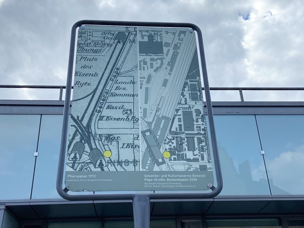
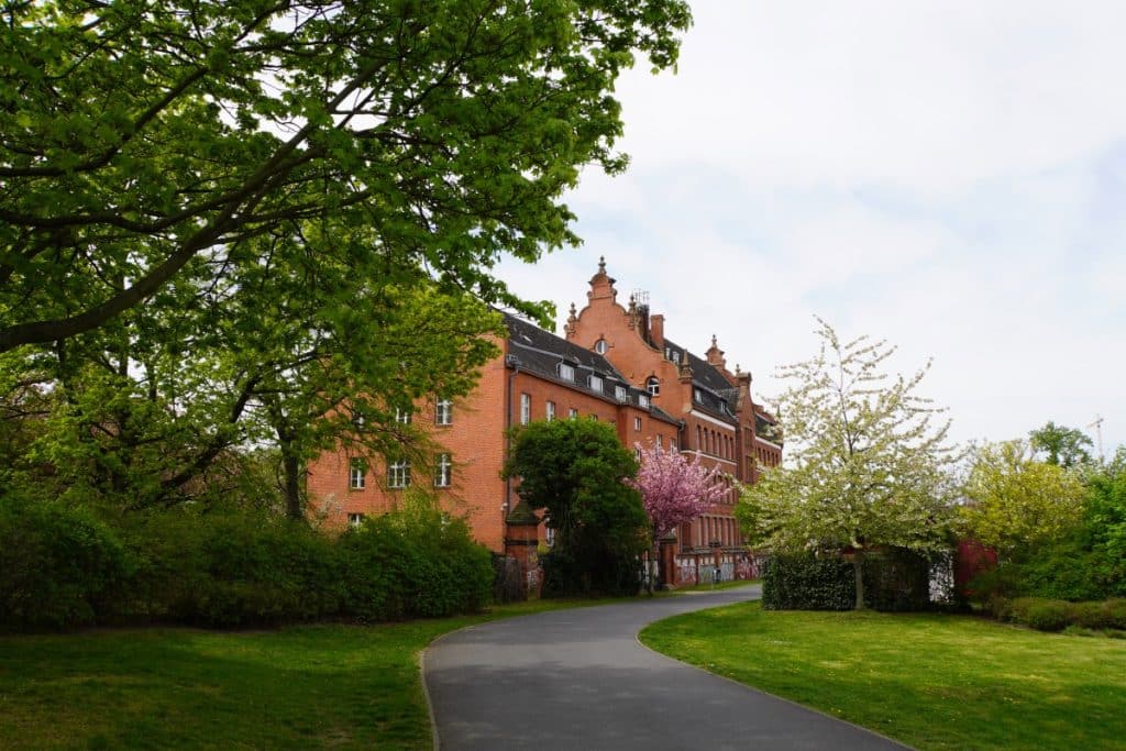
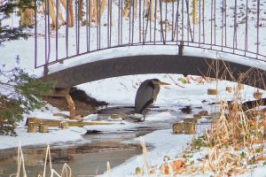
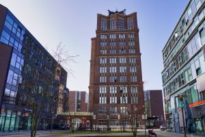
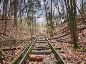
We start the tour at the Südkreuz long-distance railway station. Directly behind the station grounds, a former military site stretches along General-Pape-Strasse. Since 2008, signs of the history parcours show not only written information but also pictures showing this site in the past. This makes a “before – now comparison” very vivid.
In the 19th and 20th centuries, the area was shaped by the railway and the Prussian military. The preserved barracks buildings are listed today. In the north of the route is the Schwerbelastungskörper, which is a reminder of the urban planning during the Nazi era. And shortly before the end of the tour, you reach the SA memorial Papestraße with its harrowing history.
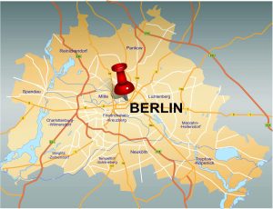
If you would like to walk the route, you can see the route we walked on the map.
On the way on the history trail
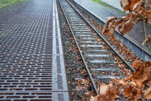
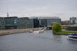
The starting and ending point of our tour was Südkreuz station. A transfer station had existed at General-Pape-Strasse since 1901, which offered the possibility of transferring from the Ringbahn to long-distance trains. With the construction of the Wall, the importance of this station diminished. It was not until the Wall fell and the S-Bahn ring could be used again that the station was rebuilt. Now it is possible to board long-distance trains here again.
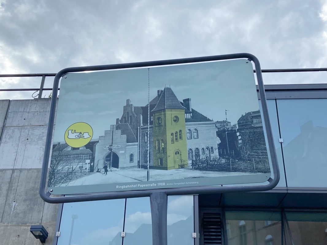
There are signs directly at the exit to General-Pape-Straße drawing attention to the history trail. One sign shows a map “yesterday – today” with a yellow dot indicating the location. A second sign shows the Papestraße ring railway station from 1908. The coloured part of the entrance building can be found today directly at the entrance to the multi-storey car park – a historical testimony to a modern building.
General-Pape-Straße
The path first leads us along General-Pape-Straße. In the middle of the 19th century, this road was the site of a large parade ground with barracks and workshops of the Prussian railway regiments.
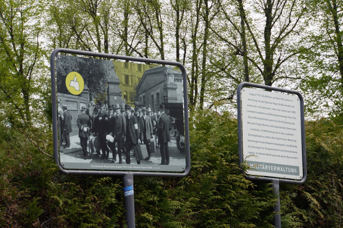
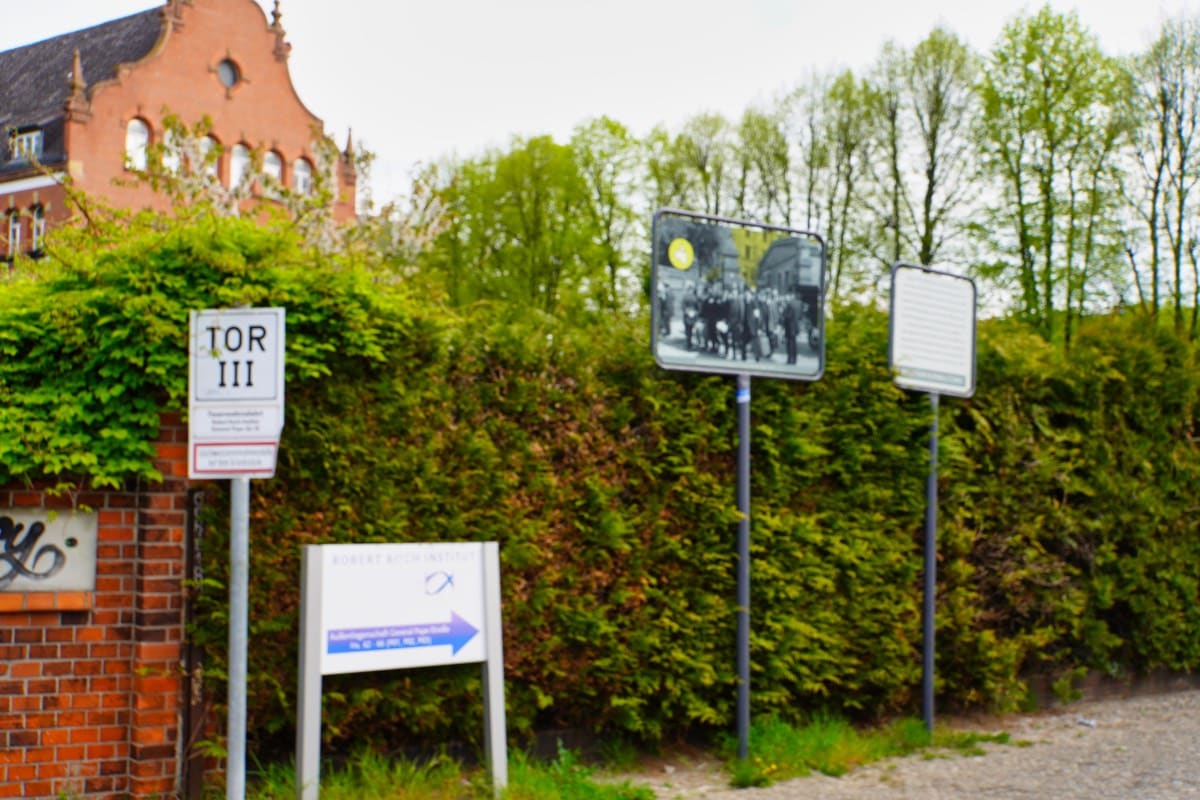
On the wall to the site are the names of the gate entrances and at Gate III we turn right and discover the next sign with information. It shows a picture of this gate entrance with numerous men going to war with their suitcases in hand. The picture, highlighted in colour, was a building of the Landwehr Inspectorate, where all conscripts of Berlin were registered. The building was destroyed during the Second World War, only the entrance to the site remains.
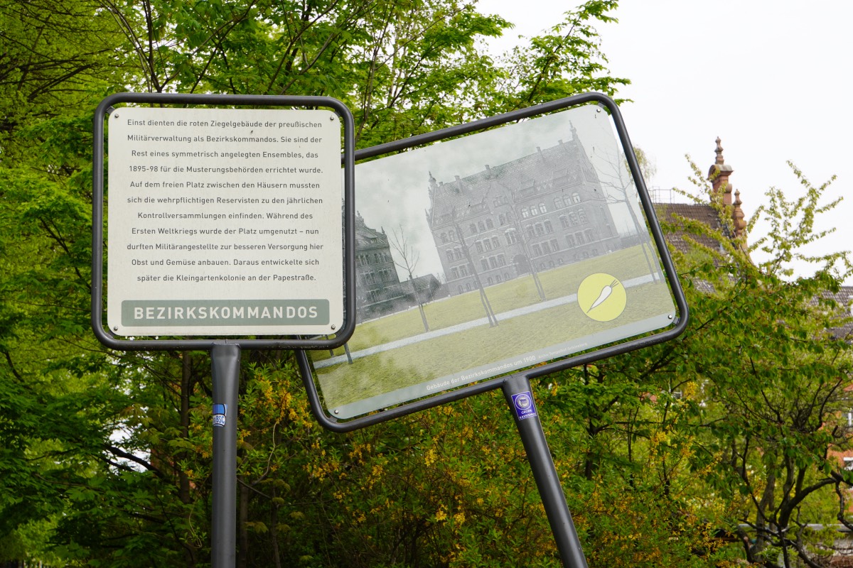
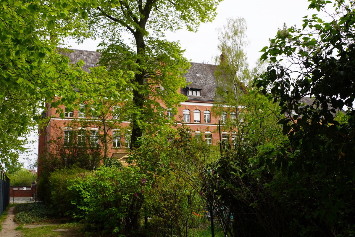
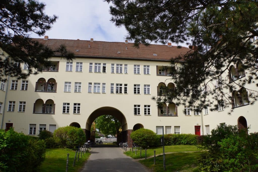
Only a few metres further on, to the left of the entrance, in one of the beautiful old brick buildings is the branch of the Robert Koch Institute. These buildings, as the next sign tells us, were once the headquarters of the Prussian military administration and belonged to the buildings erected in 1895-98 for the muster board. The large open space served as a meeting place for reservists liable for military service, which took place once a year. Today, there are allotment gardens here, among other things.
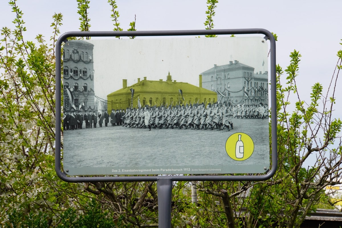
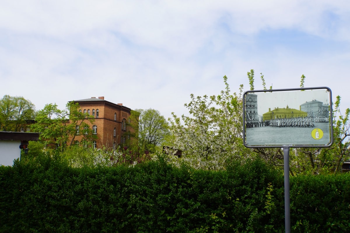
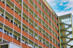
We continue on smaller paths through the allotment garden colony. A photo from 1912 shows us that the parade ground was located here, where there are now arbours and gardens. Directly on the square were two large crew houses, which housed the railway troops, and a smaller farm building. During the Second World War, the farm building was destroyed and there was major damage to one of the barracks buildings. But the buildings that still exist are still in use today.
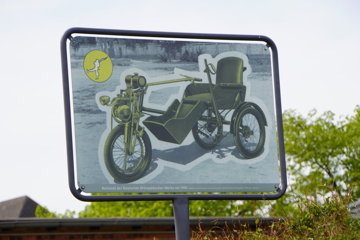
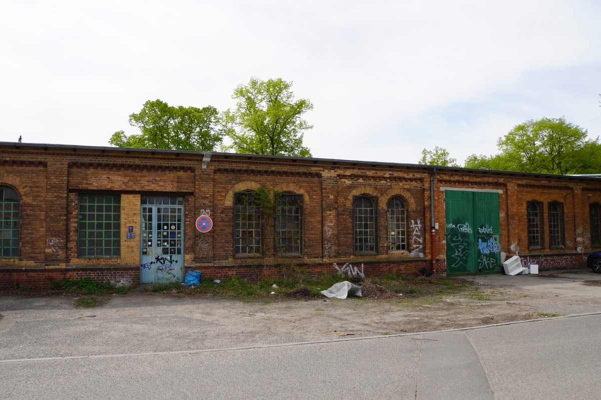
We now passed rather unattractive buildings, some of which were used by businesses. One of these long buildings was once the drill hall. After the railway troops were disbanded in 1919, new uses were sought for the buildings. In 1929, the Deutsche Orthopädische Werke (German Orthopaedic Works) moved into the drill hall and the adjacent barracks buildings. Until 2000, they produced wheelchairs and prostheses, which initially mainly benefited those injured in the world wars.
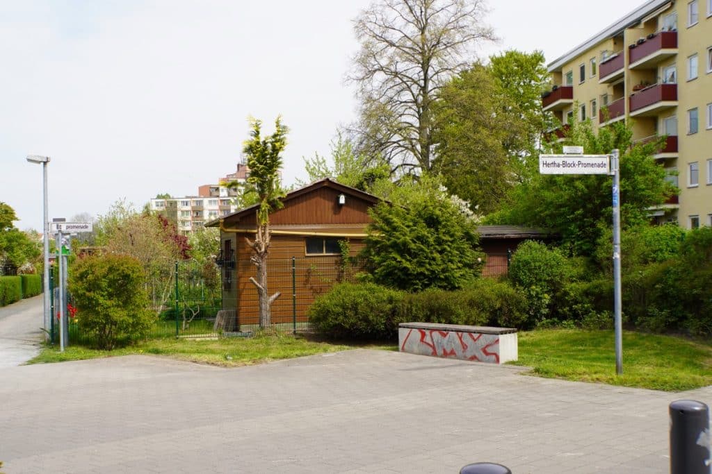
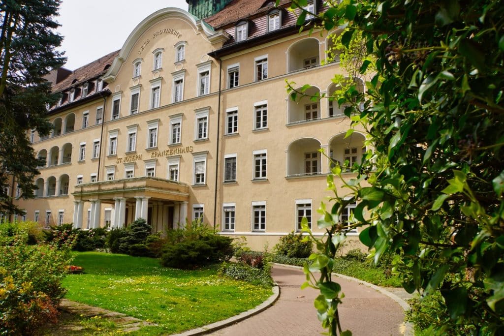
Through a passageway at a residential building we reach Gontermannstraße and turn left. We pass some residential buildings and the St. Joseph Hospital until we reach the Hertha Block Promenade.
This leads between allotment gardens and the Robert Koch Institute back to General-Pape Straße, into which we turn right. Always following the course of the road, we finally reach the heavy load body.
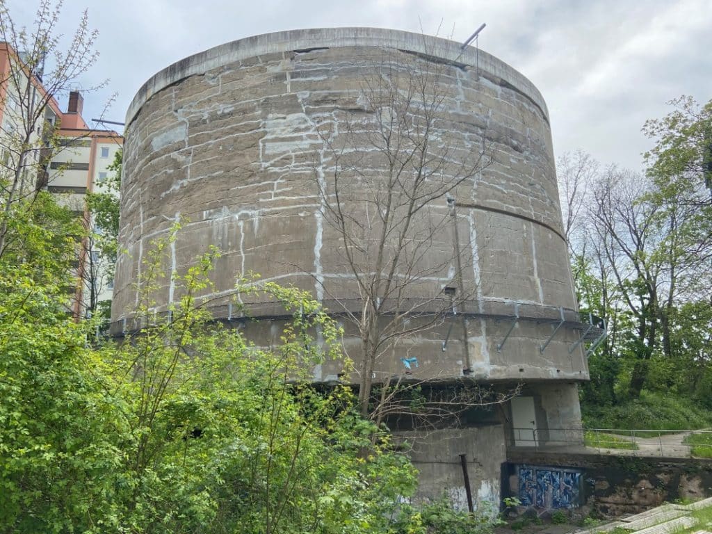
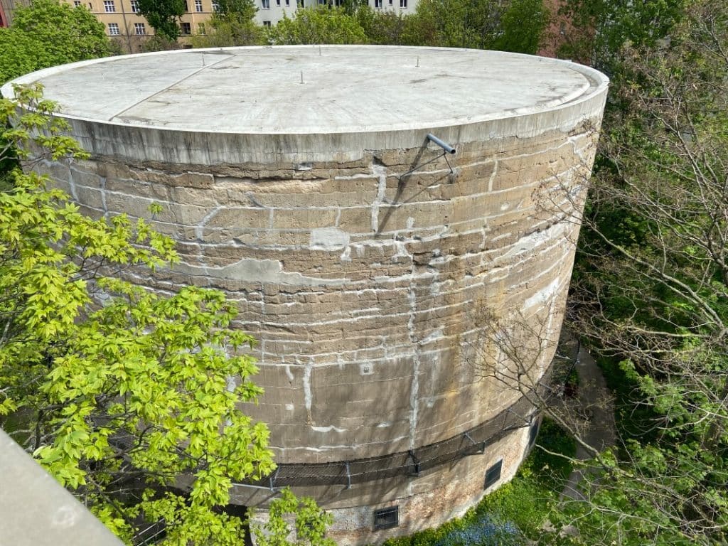
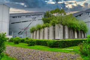
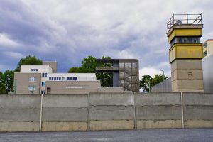
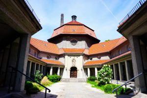
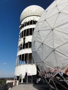
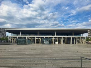
Schwerbelastungskörper
The heavy-duty structure is a listed cylinder made of concrete and reinforced concrete and stands on General-Pape-Straße. In common parlance, the bulky building is also called Naziklotz.
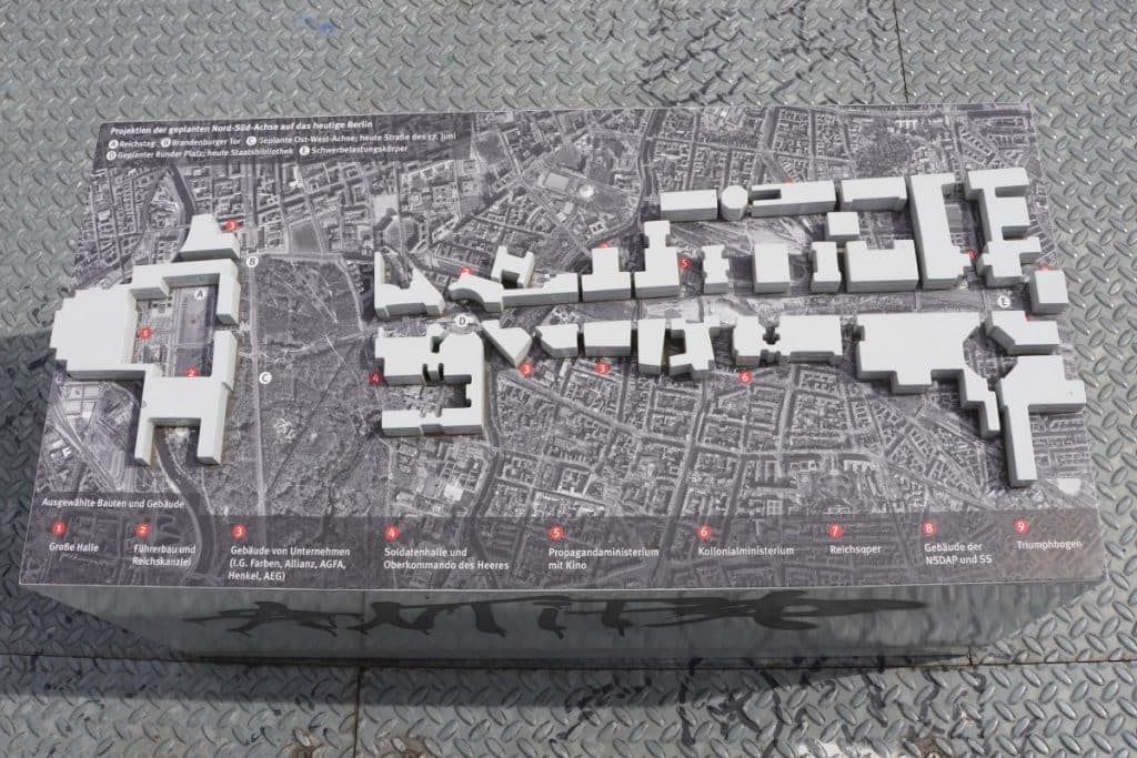
Albert Speer’s plans for the transformation of Berlin into the world capital of Germania were quite ambitious. According to Hitler’s idea, two main axes, the so-called “East-West Axis” and the “North-South Axis”, were to cut through the new world capital like a cross. The greatest attention was paid to the north-south axis with its 7 km long and 120 m wide boulevard. At its end, a huge triumphal arch was to be erected, which would have blown up all the structural dimensions of Berlin. Hitler himself had already drawn up the design in 1920. The names of the soldiers who died in the First World War were to be immortalised on the 117-metre-high and 170-metre-wide structure.
A structure of these dimensions cannot simply be built without first testing the settlement behaviour of the subsoil. So Speer commissioned test loads to be carried out with the help of a heavy load body.
In 1941, the company Dyckerhoff & Widmann was commissioned to build the heavy load body. French prisoners of war, among others, built a cylinder with a diameter of 11 metres, which reached about 18 metres into the ground. Above the earth’s surface, a 5-metre cantilever and 14-metre high loading cylinder was created. The cantilever gave the cylinder a diameter of 21 metres above ground. Such a reinforced concrete and concrete block naturally weighs a lot (12,650 tonnes) and so it loaded the subsoil with 12.65 kg per cm². The effects of this load were recorded inside the cylinder with measuring instruments until 1.6.1944.
It took a while for the collected data to be evaluated. It was not until 1948 that it could be established with certainty that the loading of the subsoil by a triumphal arch would only have been possible with extreme compaction of the soil. Already the cylinder had sunk about 19 cm into the subsoil within 2.5 years after its construction and had reached a slope that created an overhang of 3.5 cm.
After the Second World War, the concrete block had become completely useless in the middle of the city. Since the residential areas were quite close, it was decided not to blow up the structure.
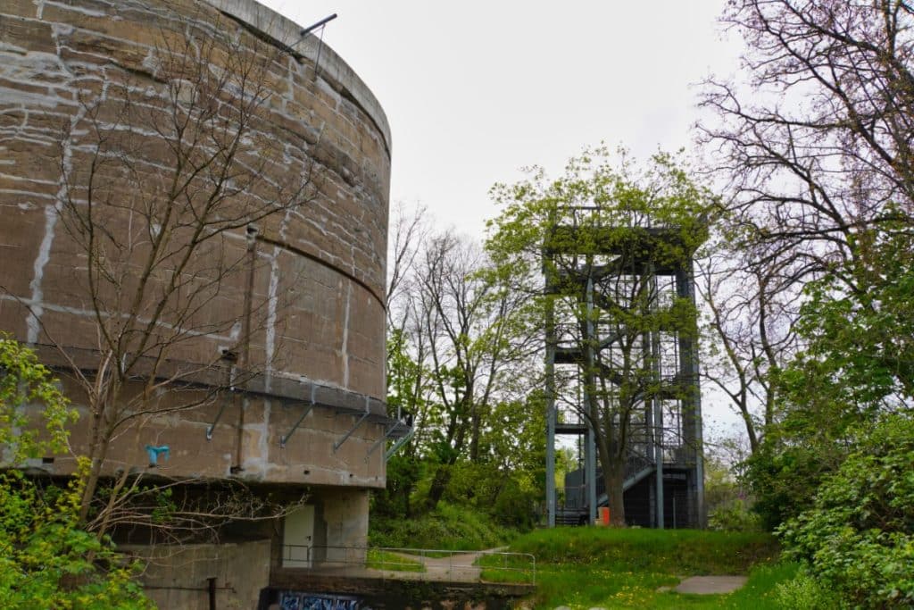
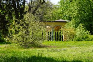
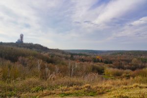
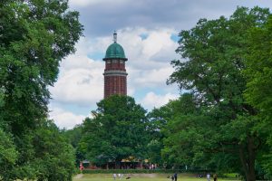
Since 1995, the heavy load body has been a listed building and for a while, some experiments and measurements were carried out. From 2007, the outer shell was renovated and the area redesigned. For example, an observation tower and an information pavilion were built.
Visit to the exhibition area
The grounds can be visited free of charge and the ascent to the observation tower is also free of charge. We had planned our tour along the history trail so that we were there on time at opening time.
First we walked around the building. On some information boards you can read about some interesting details. I liked the fact that you can also take a look inside the heavy load body. There are some rusty metal parts lying around and at one point I discovered a lock. Through this hole you can look out of the structure and see very clearly how thick and massive it is.
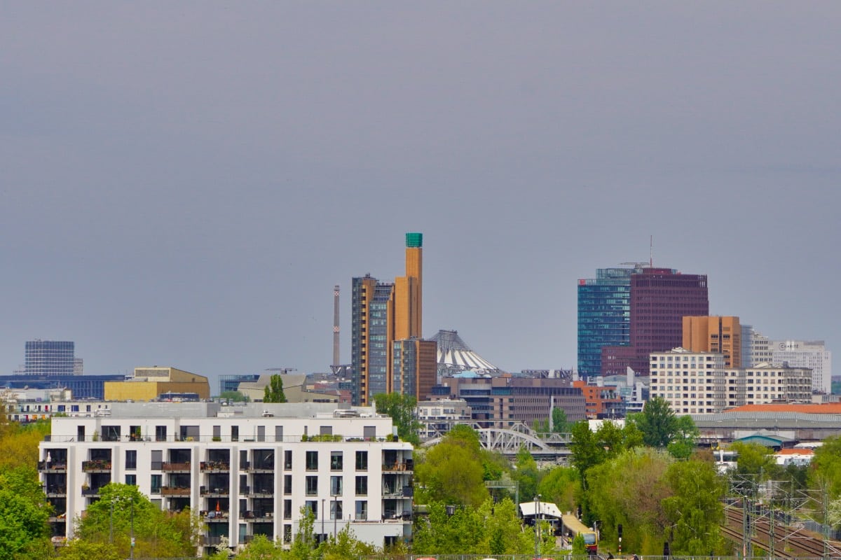
Afterwards, we were drawn to the observation tower. From there, one has a good view of the heavy load body and the surrounding area. An information board illustrates the planned course of the Speer road.
Address:
General-Pape-Straße / Loewenhardtdamm 12101 Berlin
Opening hours:
2 April – 30 October Tuesday, Wednesday, Thursday, Saturday and Sunday: 1 – 6 p.m.
Admission fee:
free
Walk through Tempelhof
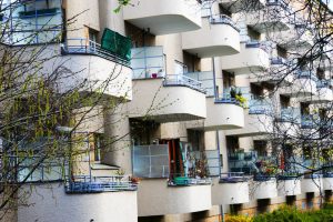
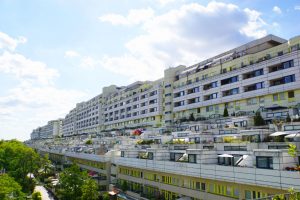
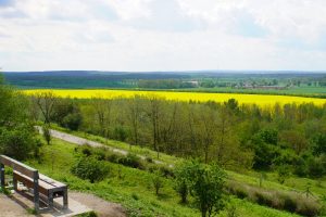
After the visit to the heavy load body, the path continues along Loewenhardtdamm. Here, housing estates from the 1920s and 1930s stand along the road. From time to time you pass new buildings and some allotment gardens.
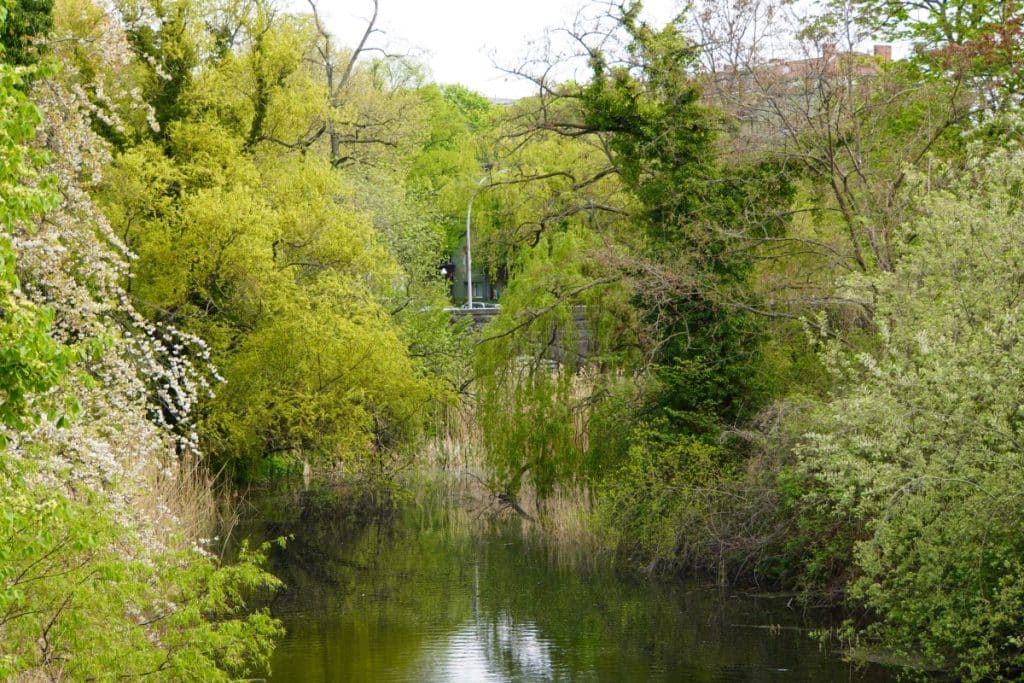
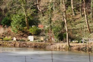
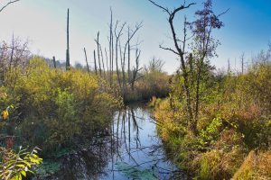
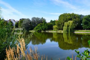
Before we turn into Bäumerplan, we take a look at a green area with a small pond. Unfortunately, we didn’t get very close to the pond and we didn’t find a bench for a short break. So we continued along Bäumerplan. This street belongs to the garden city of Neu-Tempelhof and is also called the Fliegerviertel. This name came about after the streets were renamed in August 1930. The former German ruling families disappeared from the street signs and the names of fighter pilots from the First World War and aviation pioneers appeared. After the Second World War, plans were initially made to rename the streets again, but this was not carried out.
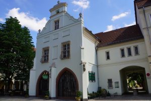
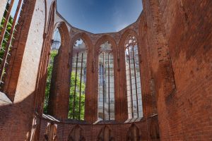
I was impressed by the entrance to St. Joseph Hospital. A beautiful listed building.
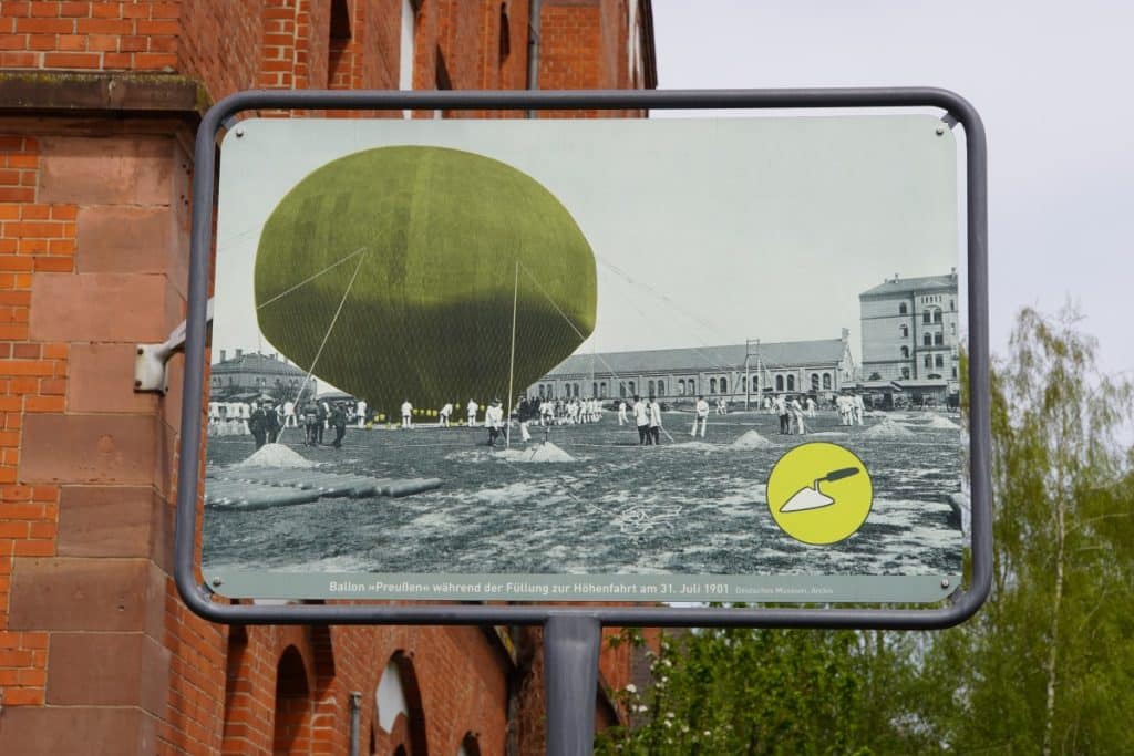
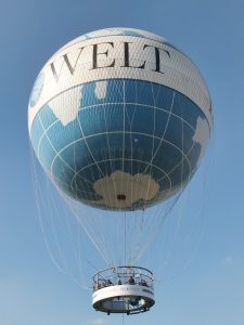
Shortly after the hospital, we turned into Werner-Voß-Damm, which we had to follow for a while. When old clinker brick buildings of the former barracks appeared again, we passed another sign of the history trail.
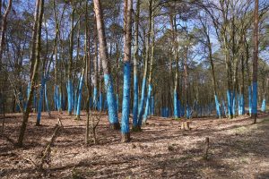
The picture shows the balloon “Prussia”, which took off for an altitude test in 1901. At that time, the barracks area was not yet completely built on and so there was enough space to launch the balloon. Two pilots climbed into an open basket. They carried steel cylinders with oxygen and actually went up to 10,800 metres. A record that still stands today. Not only this really adventurous-sounding balloon flight took off from this open space, but before that, the Luftschiffer-Abteilung (airship department), which was stationed there from 1885-1891, had launched several tethered balloons and airships for test flights there.
For us, it was on to our last stop before heading back to our starting point.
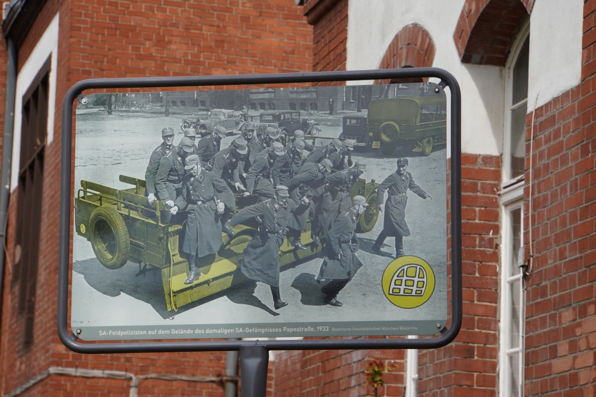
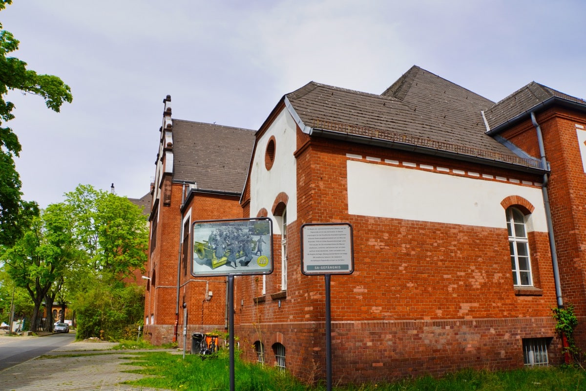
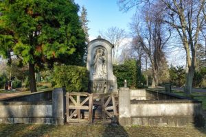
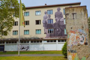
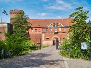
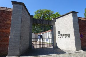
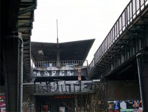
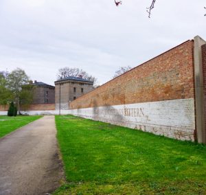
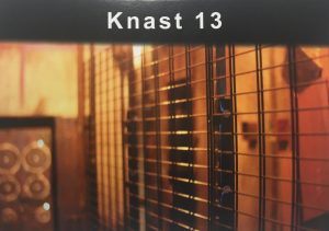
SA-Memorial Site SA Prison Papestraße
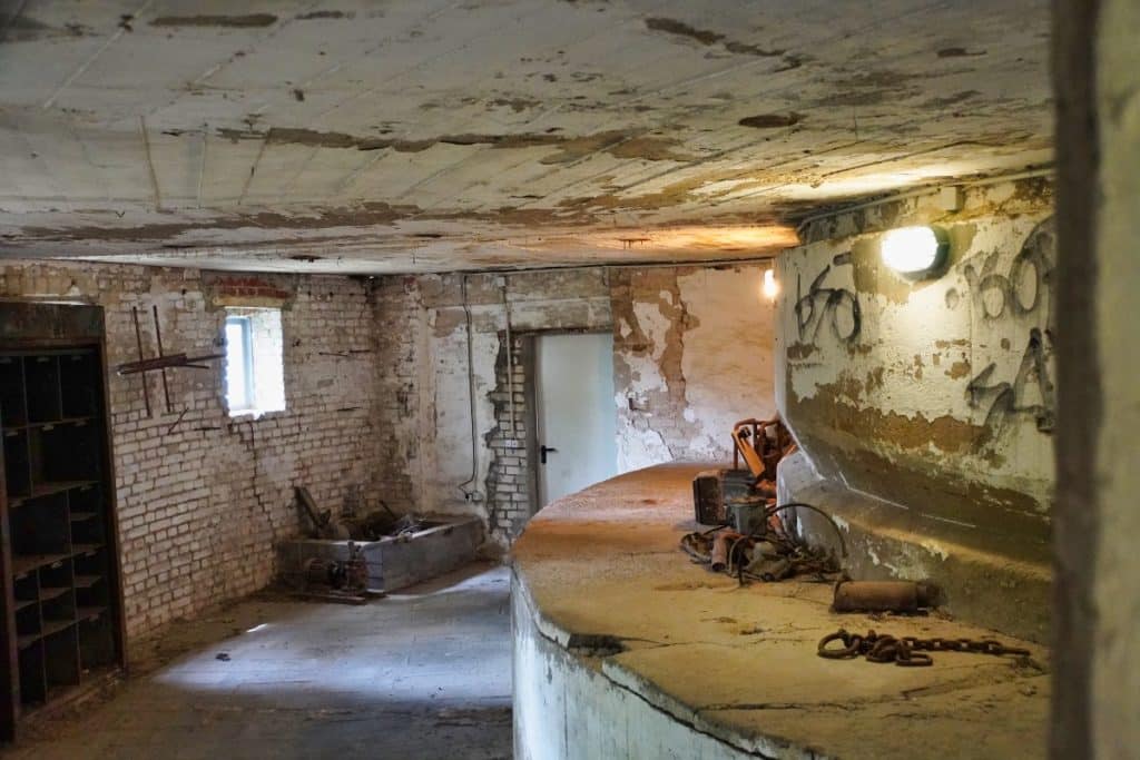
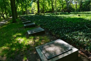
Today, the SA Prison Papestraße memorial is located in a former farm building that was built for the Prussian railway regiments.
From March to December 1933, the SA used this building as a concentration camp and prison. Here the state imprisoned, interrogated and tortured political prisoners, Jews and other persecuted groups. The names of about 500 prisoners who served time there are known. The number of unknown prisoners may be much higher.
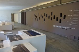
Visit to the memorial
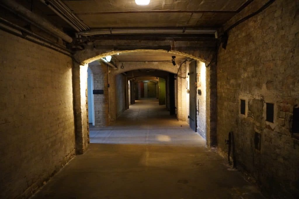
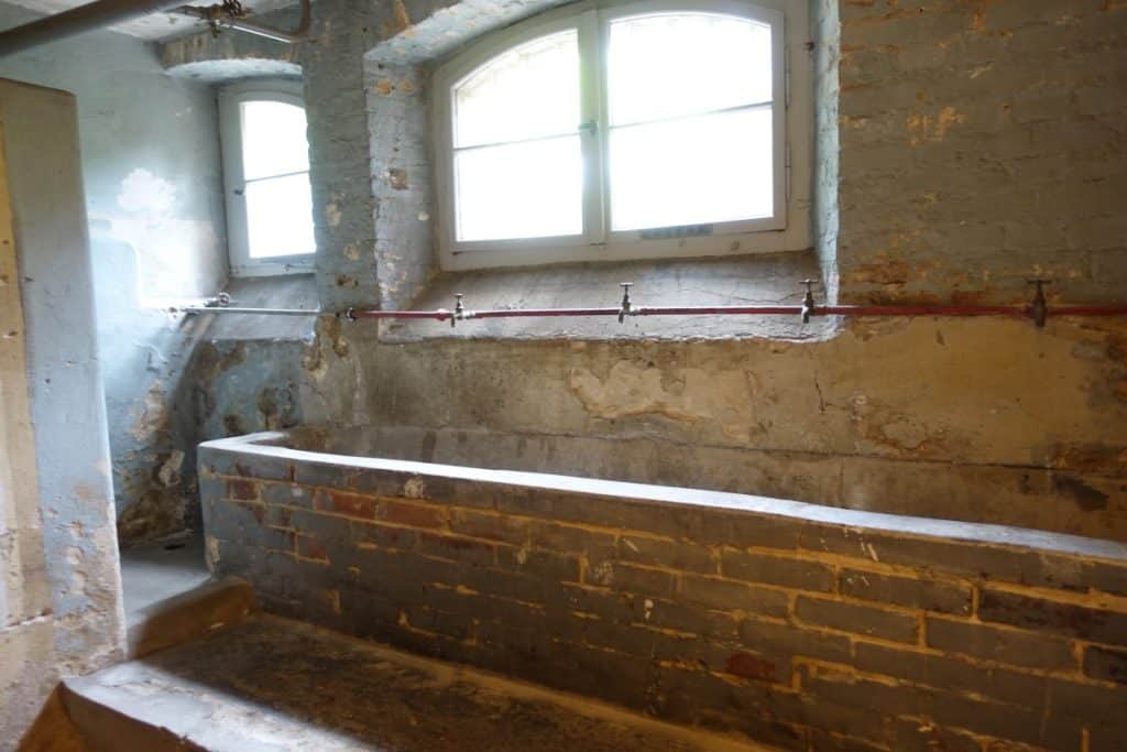
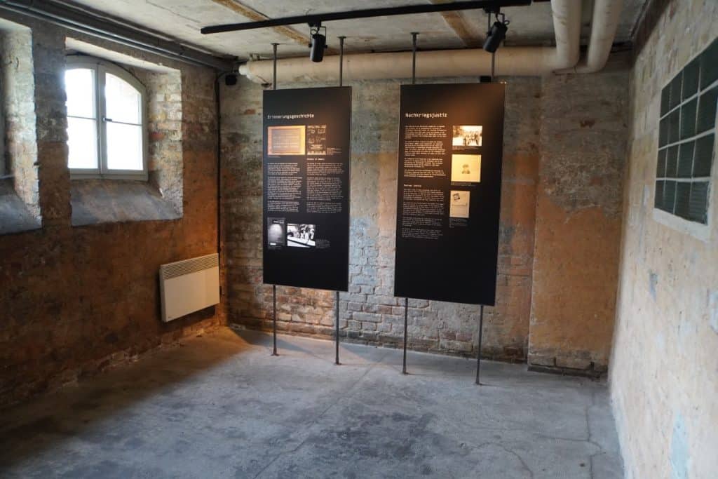
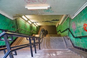
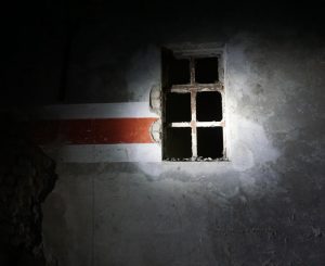
Today, the upper rooms in the building are rented out and you can visit the memorial in the basement free of charge. A staircase leads to the basement rooms, which look almost exactly as they did in 1933. These rooms were used as detention cells, and you can still see scribbles, drawings, dates and individual words on the walls. Today, documents and pictures hang on the walls. In addition, reports from detainees make the events in this place “come alive” for the visitor. I find it very depressing to walk through the rooms and read about the fates.
You should take some time for a visit. The information is very comprehensive and well presented.
Address:
Gedenkort SA-Gefängnis Papestraße Werner-Voß-Damm 54 a 12101 Berlin
Opening hours:
Tuesday, Wednesday, Thursday, Saturday and Sunday: 1 – 6 p.m. Monday and Friday closed
Guided tours
every Sunday at 1 pm – free of charge and without registration


Leave a Reply