When the lush green of the trees gives a view into the undergrowth, the hike to the cemetery railroad is especially worthwhile. Now you can discover the old tracks, forgotten stairs and unused bridges especially well.
We start our hike to the cemetery railroad in Kohlhasenbrück. There you can easily get there with the S-Bahn. Those who drive to the starting point by car can park in the small streets or drive over the Nathan Bridge to a forest parking lot.
Route of the hike to the cemetery railroad
The route is about 8 kilometers long. The paths are partly natural, some paths are wide and relatively flat.
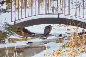
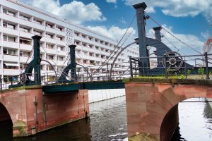
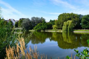
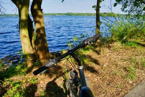
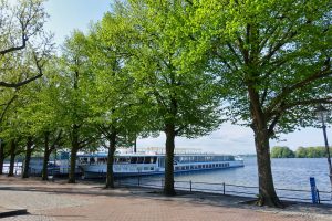
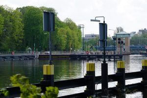
We went on foot over the Nathanbrücke. From there you can already enjoy the first view of the Teltowkanal here. A narrow hiking trail leads along the shore, which we followed to our first destination.
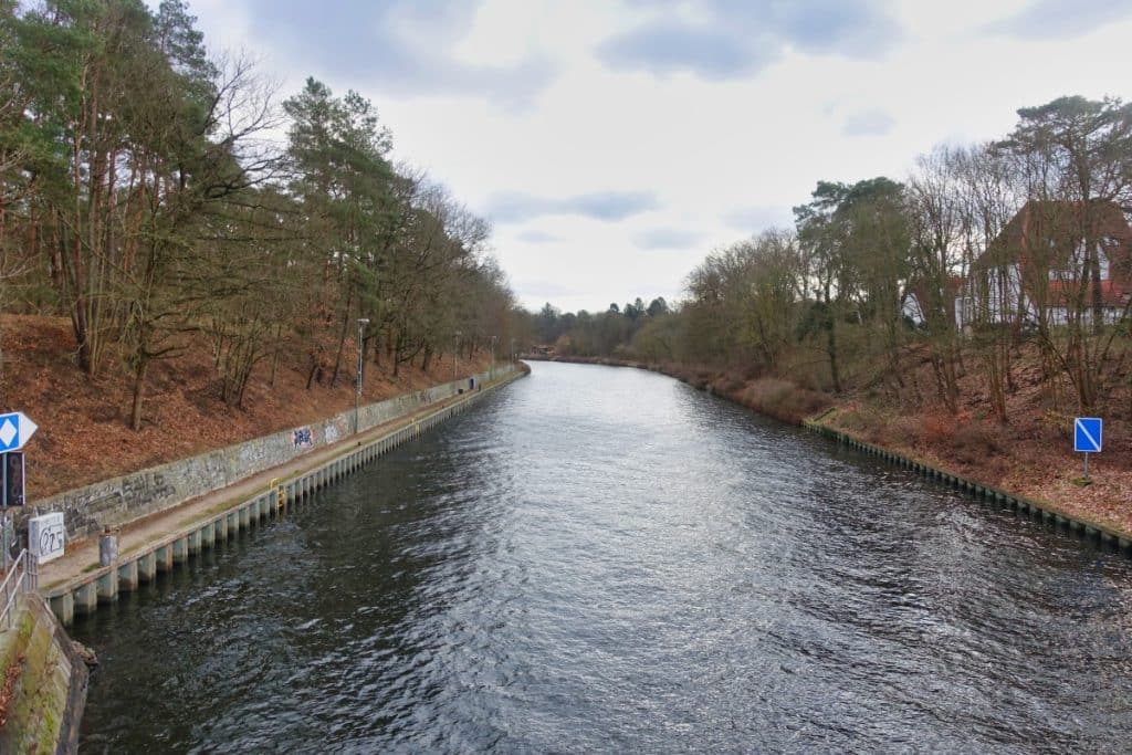
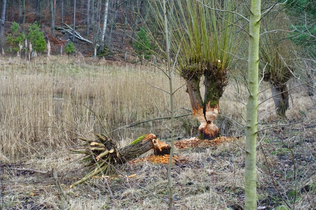
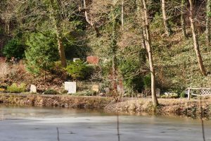
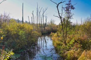
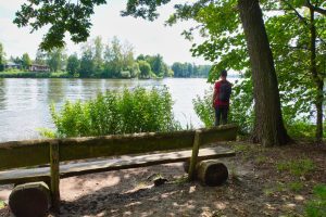
On one side the water glistened in the wintry sun, on the other side the forest with one or the other “surprise”. Were the beavers yet amazingly active and have left their mark.
Freeway bridge at the old Dreilinden checkpoint
For many non-Berliners and young Berliners it is unimaginable, for us it was reality for years – the Dreilinden checkpoint. We had to pass this and two other checkpoints on our way from Berlin (West) to West Germany so that we could drive through the GDR.
During our hike we passed the former checkpoint Dreilinden, which was used until 1969. Later, a checkpoint with the same name (also known as Checkpoint Bravo) existed on today’s A 115.
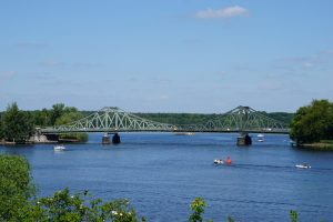
Even from a distance we could see the bridge that once represented the border between West and East.
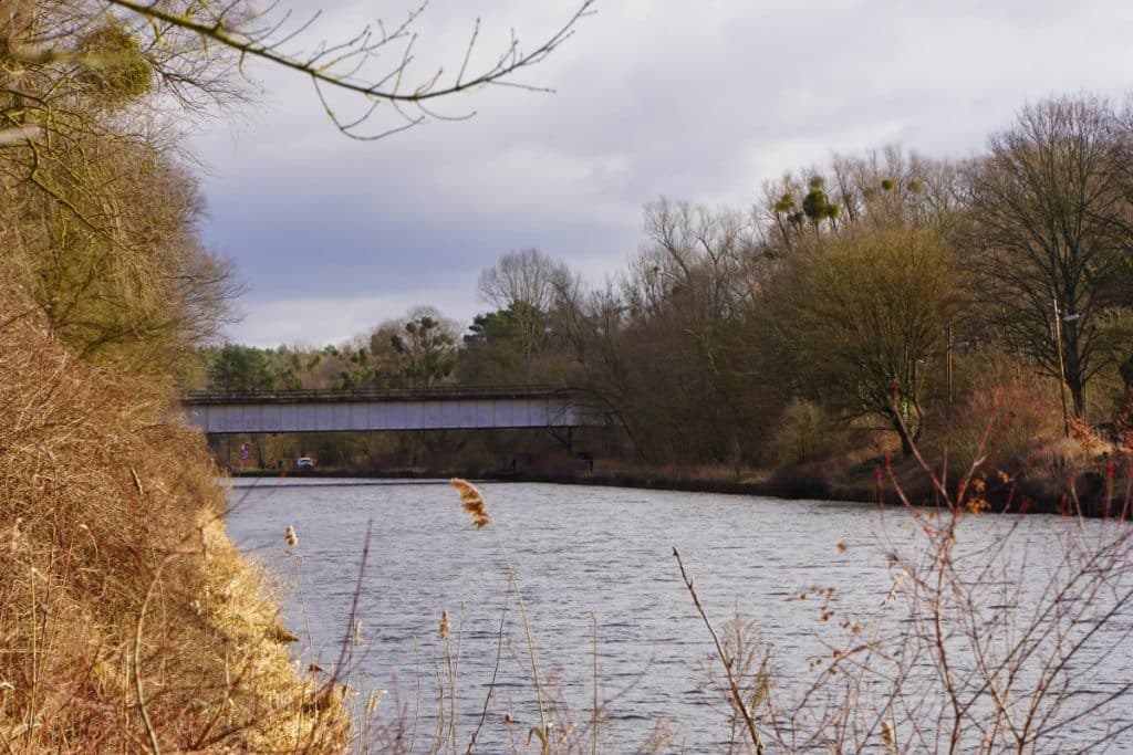
In the 1950s, a checkpoint was set up on the border between West Berlin and the GDR on what was then the autobahn between the AVUS and the Berliner Ring in the Berlin district of Albrechts Teerofen. This checkpoint was located directly at the border bridge over the Teltow Canal. In 1969, the GDR relocated the autobahn and a new checkpoint was established.
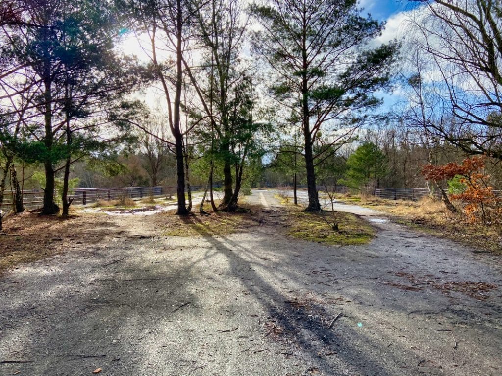
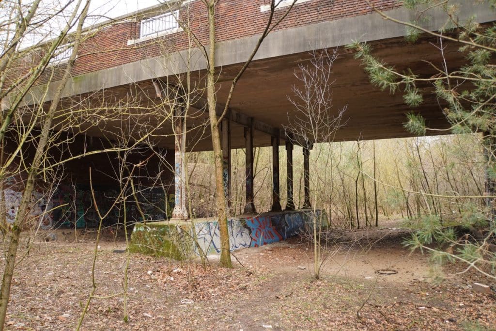
The bridge was preserved and the old border fortifications also remained on the GDR side. The old highway ran in no man’s land. On the West Berlin side, a campground later settled on the checkpoint site. In 1971, most of the checkpoint buildings were demolished, leaving the rest area building. Trees grow on the bridge today and for me it was a strange feeling to walk along there.
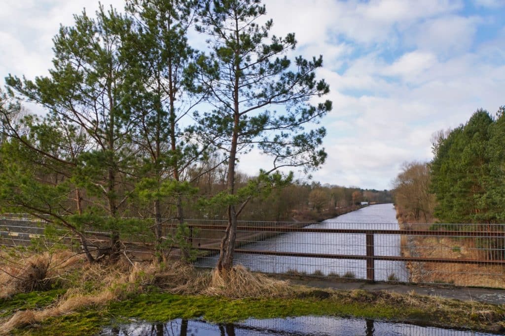
After the opening of the border, the bridge over the Teltow Canal was made accessible again. The old highway route on the side of the former GDR was initially used as a film set (Alarm for Cobra 11) and it was not until 1999/200 that the road surface was removed in the course of renaturation measures.
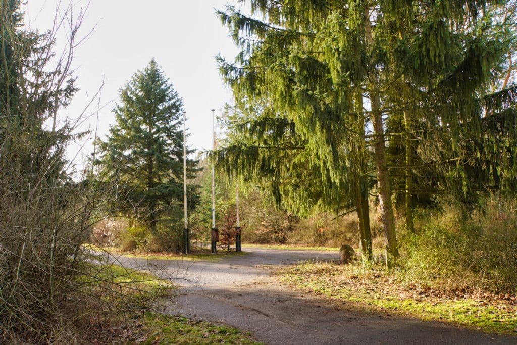
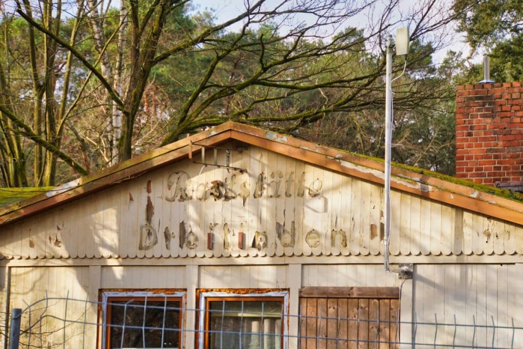
For us, the visit to this lost place is very special and we walked around there for quite a while. The walk across the now overgrown bridge is a walk between East and West, which was so impossible for us for many years. Often it is only little things, like an empty electricity box or the flagpoles standing lonely in the forest, that remind us of the past. It is a pity that the old service area building Dreilinden is decaying today. It actually belongs to the history of Berlin and should be preserved. The site is on the list of monuments of the state of Berlin and the district of Potsdam-Mittelmark, but apparently this does not protect it from decay.
After crossing the Teltow Canal again, we continued a bit further along the shore until we reached the abandoned tracks of the Friedhofsbahn.
Hike to the cemetery railroad
In the middle of the forest today is a Lost Place of a very special kind, the remains of the cemetery railroad.
In 1913, the single-track line from Berlin-Wannsee via Dreilinden to Stahnsdorf was opened and connected to the route network of the Berlin Stadt-, Ring- und Vorortbahnen.
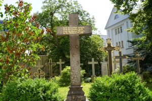
Beginning at Berlin-Wannsee station as an extension of track 4, the line traveled in the direction of Parforceheide, stopped north of Dreilinden (the only intermediate stop), passed under the Stammbahn line, crossed the Teltow Canal, and reached the station in Stahnsdorf. The reason for the construction of the line and thus also for the name Friedhofsbahn was the connection of the southwest churchyard located in Stahnsdorf.
The main purpose of the cemetery railroad was to transport the dead to the cemetery and, of course, the cemetery visitors. Thus, there were very different occupancy rates, depending on the weekdays and holidays. On Sundays, one could observe an increased number of excursionists.
During the National Socialist era, Speer’s Germania planning envisaged making the Friedhofsbahn double-tracked and extending the line. Today, one can still see the construction work that has already been carried out in the streetscape. In the last days of the war, the railroad bridge over the Teltow Canal was blown up.
With the division of Germany by the victorious powers, Dreilinden and Stahnsdorf were in the Soviet sector, Wannsee was in the American sector. Initially, the railroad still ran as far as Dreilinden. After a temporary bridge had been built over the Teltow Canal, the trains ran again as far as Stahnsdorf from 1948.
As of June 1, 1952, West Berliners were only allowed to enter the GDR with a valid pass. Extensive controls took place in Dreilinden, which also affected the transport of goods and corpses to Stahnsdorf. Burials and visits to the Southwest Churchyard had thus become almost impossible for residents of West Berlin. In 1953, the railroad ceased operations on the line. At the urging of the Protestant church community, the Reichsbahn resumed service on September 11, 1954. With the construction of the Berlin Wall, train operations ceased on August 13, 1961, and the track about 300 meters north of Dreilinden was interrupted.
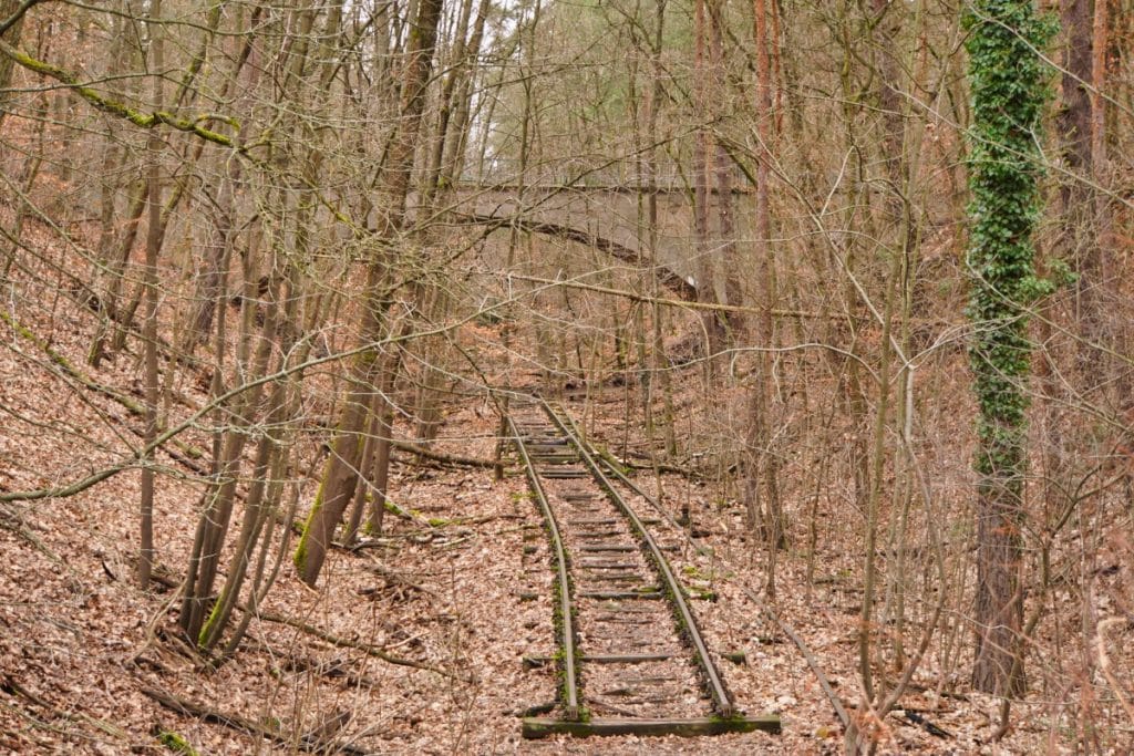
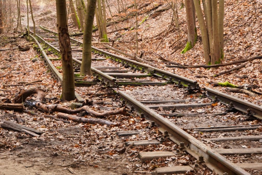
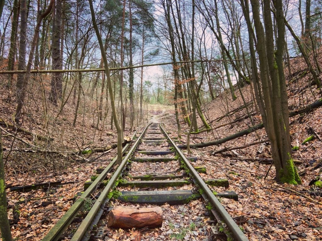
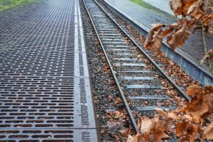
Today, not much of the former cemetery railroad can be seen. Almost the entire track bed has been removed and the railroad line has become more and more overgrown over the years.
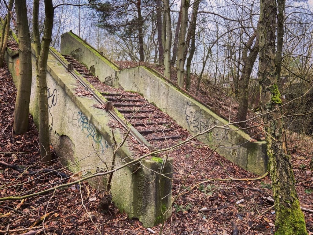
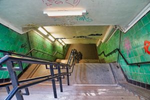
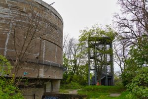
If you walk along this route, you will pass a lonely staircase in the forest. This once led to the platform, which is still clearly visible in the middle of the forest. On a small section of the track there are also still railroad sleepers that run under a bridge. Some film scenes have been shot here and especially in autumn there is almost a mystical atmosphere.
Stammbahn Bridge in Düppler Forest
The tour took us further in the direction of the Stammbahn Bridge. This once spanned part of the highway, which was relocated after the construction of the wall.
The Stammbahn was built in 1838 as Prussia’s first railroad line between Berlin and Potsdam and formed an important arterial road from 1845 after its extension to Magdeburg.
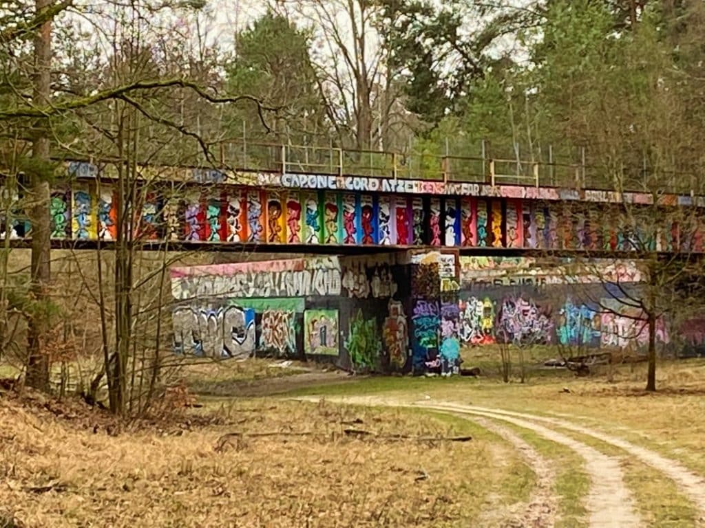
In the course of the electrification of the Stammbahn line, the Berlin S-Bahn trains could now switch to the Stammbahn line and Potsdam could be reached by S-Bahn from Berlin. Due to war-related destruction of the station in Potsdam, the line was closed and never reopened. The track system in the Brandenburg area was dismantled. On the West Berlin side, there was initially a shuttle service between Düppel and Zehlendorf. Here the end came by the S-Bahn boycott in West Berlin. The trains belonged to the former Reichsbahn and were operated by the GDR. In 1980, the last section of the line was finally shut down.

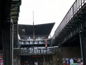
Today, nature has reclaimed the area. The former tracks are still recognizable, but today it is a green oasis. We passed the old Stammbahn bridge during our hike. Graffiti artists have decorated it in bright colors and if you’re lucky you can look over the shoulders of the sprayers at work.
Hike to the cemetery railroad – way back
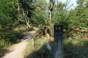
The way back led us over forest paths through the forest. We deviated somewhat from the originally planned route and the trail led over hill and dale along the old railroad line. If you like it easier, you should follow the Königsweg, which is well signposted.
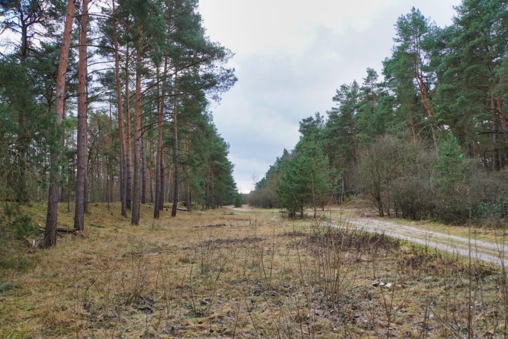
On our tour, which was about 8 kilometers long, we went not only in Berlin, but also in Brandenburg district Potsdam-Mittelmark. A great trip!































Leave a Reply