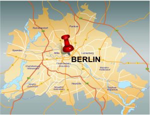
Again and again I am surprised that it is possible to hike in a big city like Berlin – not between the canyons of houses, but in the green. The Grunewald offers countless interesting routes in different lengths.
Our hike was a little over 14 kilometers long and led along a varied route through the forest. The exact route can be seen very well on the map.
The starting point was the Grunewald S-Bahn station, which is not only easy to reach due to the rail connection, but car drivers can also usually find a parking space in the immediate vicinity.
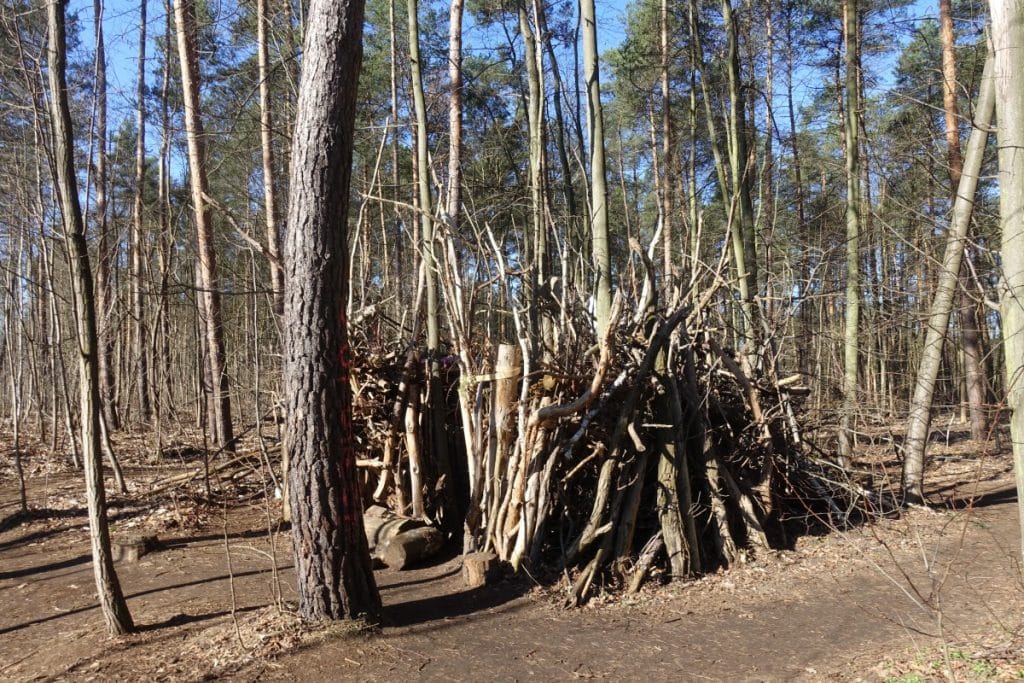
Hike through the Grunewald forest to the Grunewald tower
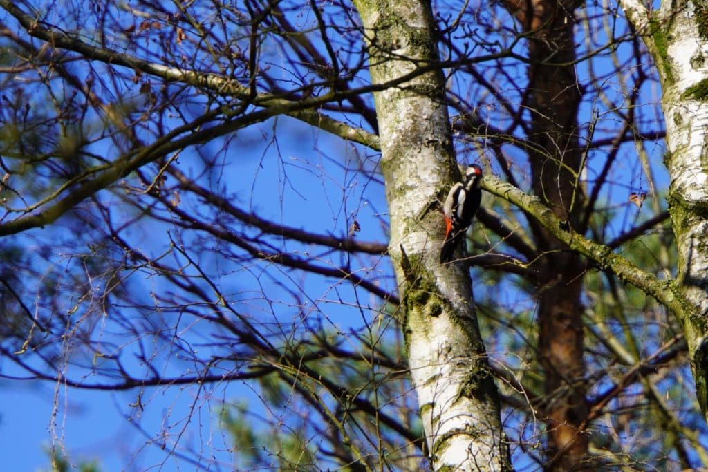
Our hike led us through the Grunewald, which has its charm in every season. If you walk through the first green in spring and enjoy the sun protection of the trees in summer, you can discover numerous birds in the leafless trees in autumn and winter.
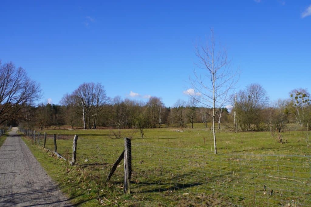
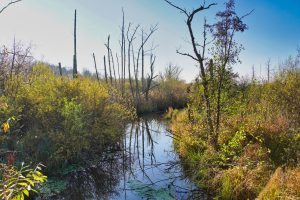
Following the paths, one also passes lakes or areas with landscape maintenance through grazing. Here in the Grunewald, plants have settled that are particularly resistant to drought. According to Berlin’s nature conservation laws, these areas and their vegetation are given special protection. So it is not surprising that a fence protects the areas from people. At some times of the year there are sheep on these areas, which help to protect them by grazing.
Exhibition Forest.Berlin.Climate in Grunewald
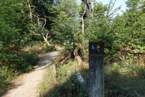
On the way to the Grunewald Tower, we also passed the open-air exhibition in Berlin’s Grunewald forest, which opened in 2017. For about 4 kilometers, a marked circular path leads through the forest, where you can discover an informative and, I found, very exciting exhibition.
A total of 11 information stations have been clearly visible along the way. Here, of course, you can learn about the forest and its inhabitants. However, the focus of the exhibition is in the field of environmental protection. Thus, the forest conversion of the Berlin forests is explained here very well. The Berlin Grunewald is a pine forest. In Berlin, pine forests have been almost exclusively planted in monoculture. However, due to climate change and the resulting increasing dryness of the Berlin soil, these forests can no longer exist for long. Pine trees do not tolerate long periods of drought. Thus, one has begun to gradually turn the pine forests into mixed deciduous forests. This is an investment in the future of Berlin’s forests that will hopefully pay off.
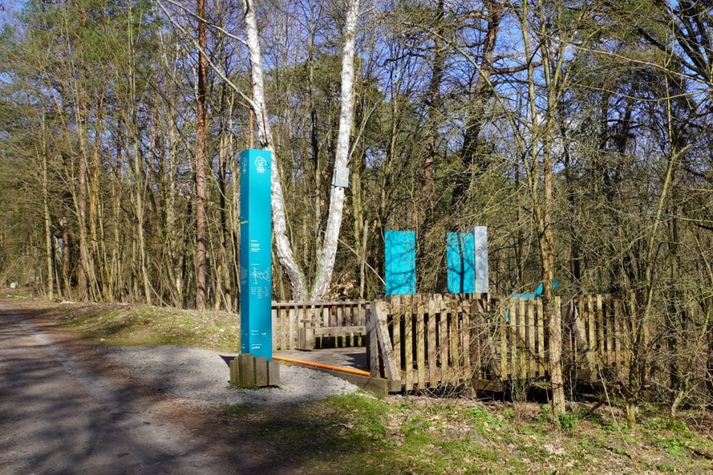
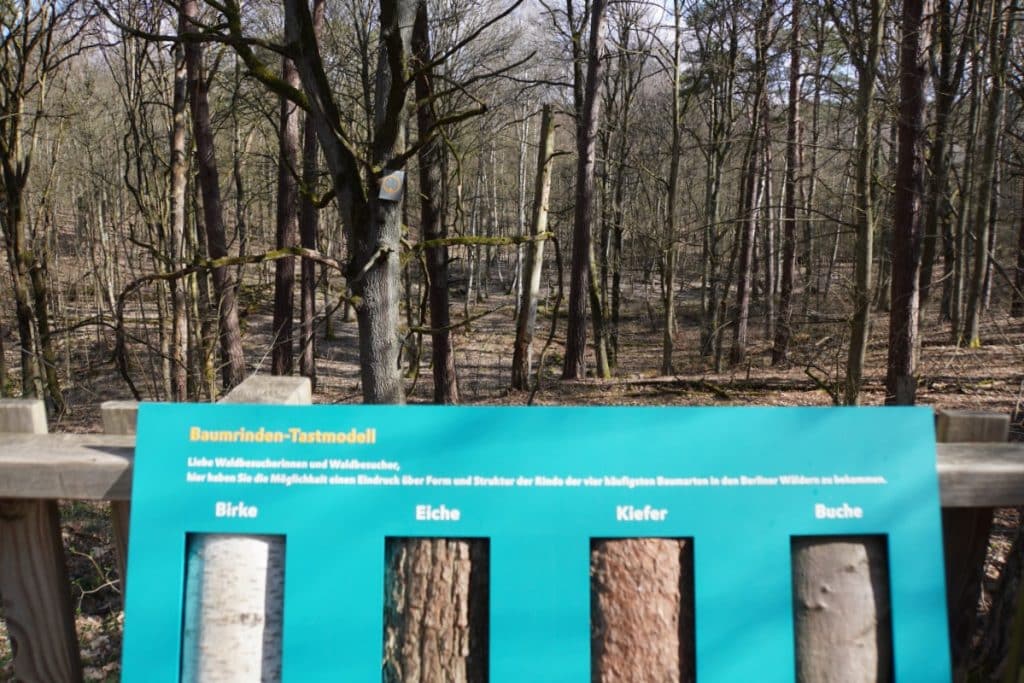
But there are also stations that are designed to bring children and adults closer to the forest. For example, you can feel the different tree barks at touch stations and then try to discover the matching tree in the forest.
While we were exploring from one station to the next, we came to a place where the trees had been painted with blue paint. It looked interesting to stand in a forest full of blue trunks.
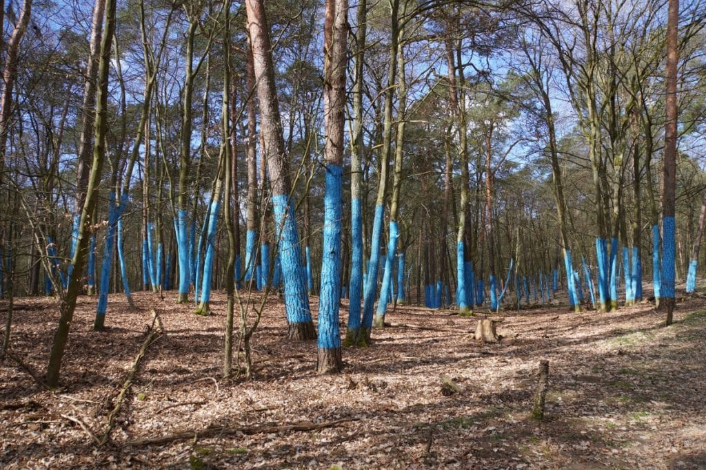
However, the sense in it at first glance did not open up. But fortunately there was also a very well understandable information board. The trees with the blue trunks indicate the area needed to compensate for the average annual per capita CO2 emissions of the Berlin population. That didn’t mean anything to me at first. The numbers then listed made the issue clearer: Each Berliner releases about 6 tons of CO2 per year. It takes about ½ hectare (that’s 2/3 of a soccer field) of forest to sequester this emission. Berlin’s total forest area is not enough to bind the emissions of all Berliners.
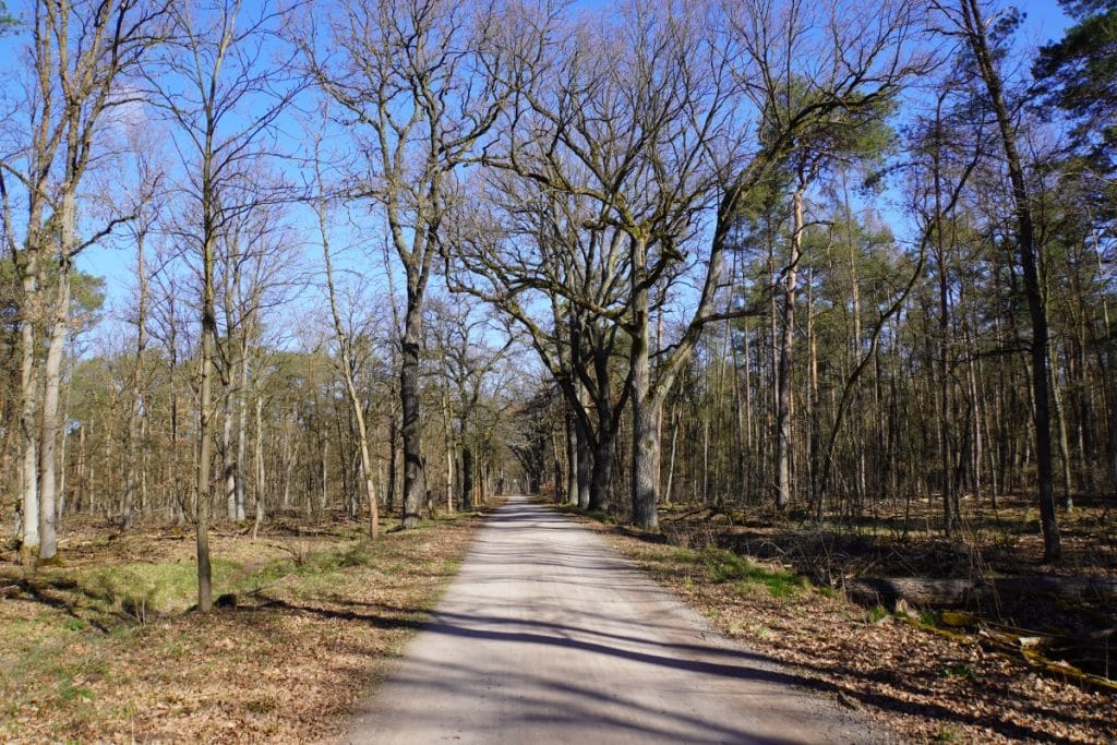
Our tour of the nature trail ended at the actual start of the nature trail directly across from the Grunewald Tower.
From the Grunewald tower along the Havel to the Schildhorn
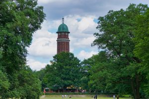
After crossing the Havelchaussee, we came to the Grunewald tower. This tower is one of the most popular observation towers in the city and offers a magnificent view over the Havel River.
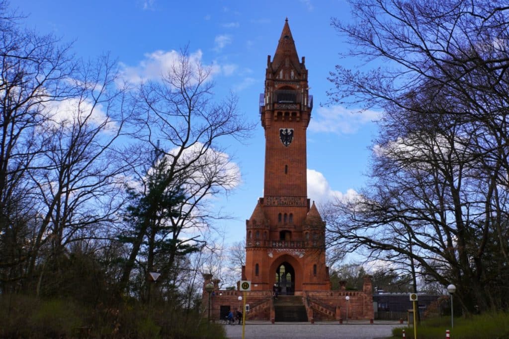
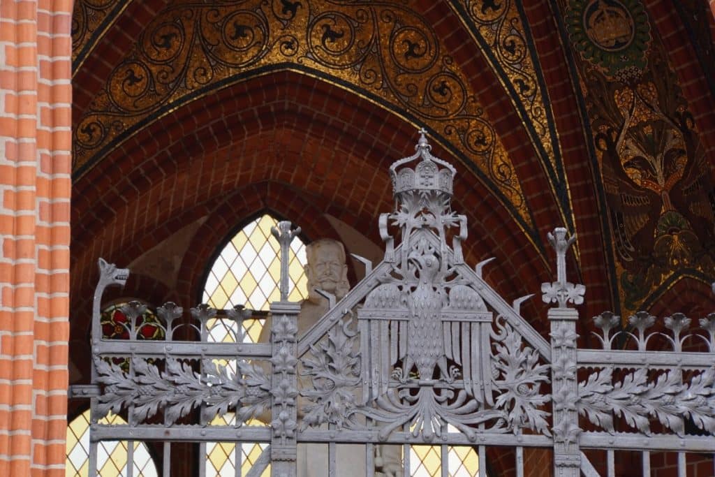
The tower is a memorial built for the centenary of the birth of the Prussian King and German Emperor Wilhelm I, who died in 1888, and inaugurated in 1899. The structure is 55 meters high and made of red brick. At the base level there is a memorial hall with a statue of the emperor. The observation deck is located at a height of 36 meters and you have to climb 204 steps.
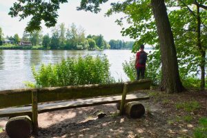
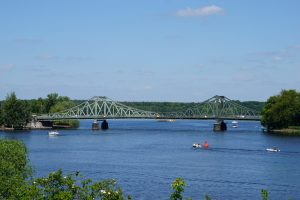
Directly at the tower, a hiking trail leads down to the Havel River. Once there, you can walk almost directly along the water. In some places you have a good view to the other side of the river. Here are some beautiful houses, such as the Villa Lemm.
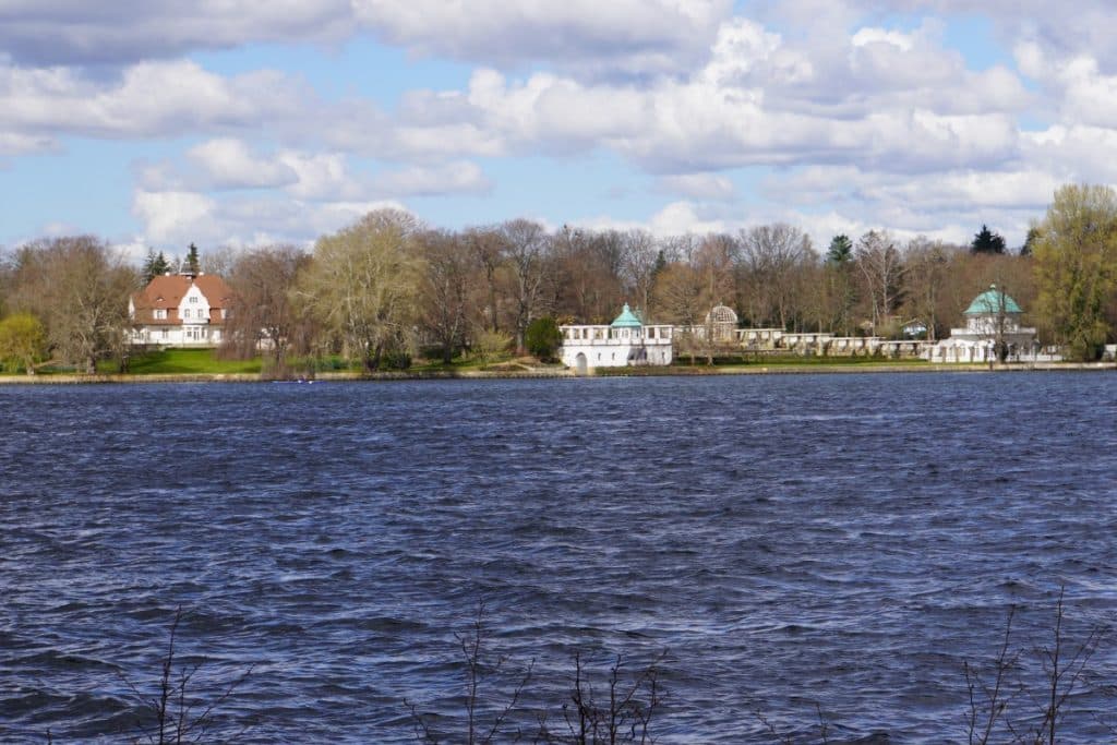
Older Berliners still know Villa Lemm as the former residence of the British city commander. The building, built in the English country house style, dates from 1907/08 and, with its beautiful garden extension from 1912/13, is one of the most impressive buildings on the western bank of the Havel River in Berlin.
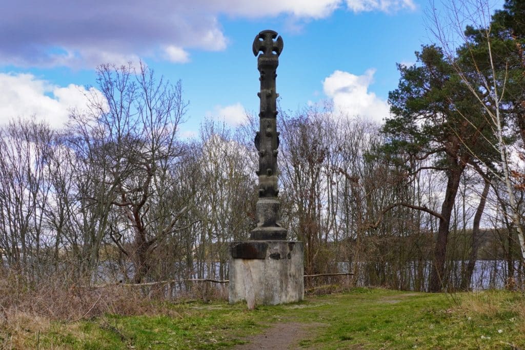
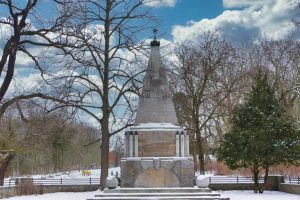
Our path continued along the shore in the direction of Schildhorn. On the peninsula stands the Schildhorn or Jaczo monument. It commemorates the birth of the Mark Brandenburg and was planned and erected by Frederick William IV in 1845. On June 11, 1157, the last Slav prince Jaczo of Köpenick fled from Albrecht the Bear. There is a legend about this, which says the following: Jaczo and his riders were driven through a ravine by Albrecht the Bear to the bank of the Havel in Gatow. They saved themselves in the water and sitting on the horse they swam the 750 meters to the other bank. Shortly before reaching the rescue shore, the horse’s strength gave out and Jaczo was in danger of drowning. The Slav prince called upon his Slavic deity Triglav, but found no hearing. He summoned the god of his enemies to help him and promised him eternal loyalty. Thereupon a force is said to have pulled on his raised shield and he reached the saving shore. He gratefully hung this shield on an oak tree and professed Christianity.
It continues to the suicide cemetery and a huge sand mountain
From this memorable place we were drawn to another place where people found a final resting place who were not wanted elsewhere.
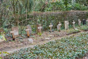
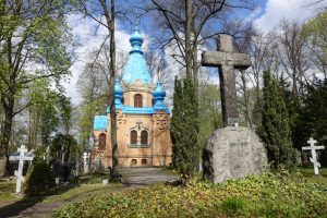
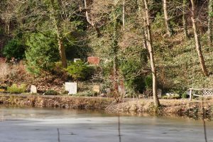
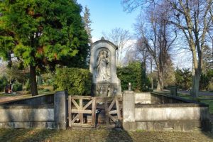
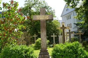
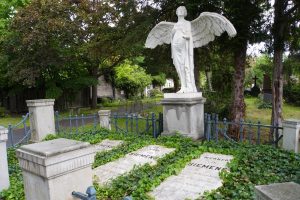
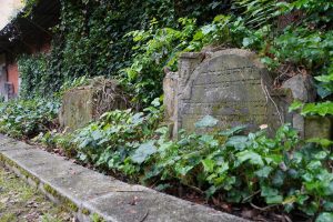
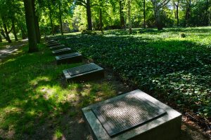
Following the signs in the forest, we arrived at the suicide cemetery or “cemetery of the nameless”, as the Berliners call the cemetery in Grunewald.
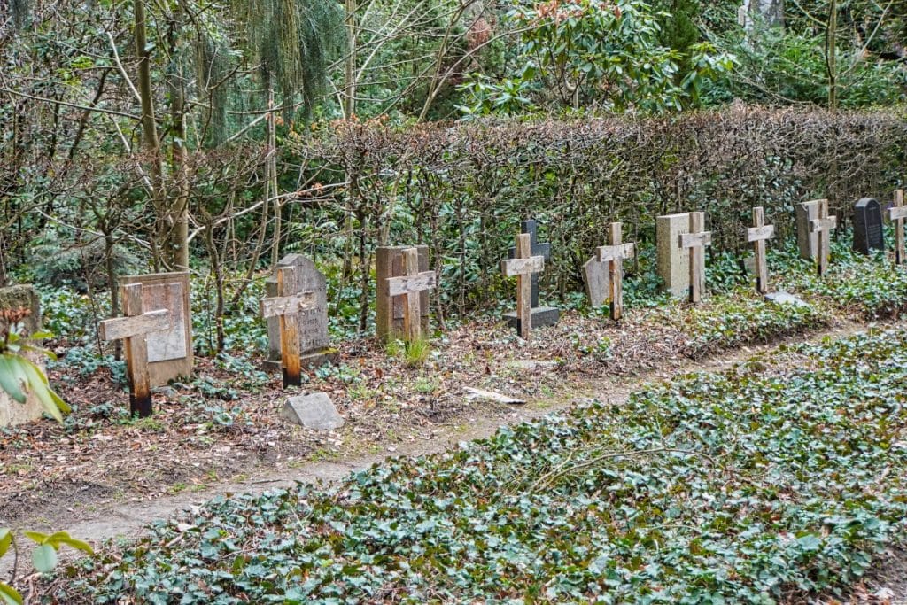
This cemetery was created out of necessity. In addition to their daily work, the district foresters often had to deal with the discovery of corpses. These had been washed up on the banks of the Havel or were found in the forest. Often the dead remained nameless and many had taken their own lives.
Unfortunately, until not so long ago, churches refused to bury suicides in their cemeteries. So the district foresters also had to cope with the fact that no one took the bodies from them. They eventually used a clearing in the forest and buried the dead there. After the area became a municipal cemetery a few years later, burials for everyone still took place there until 2018.
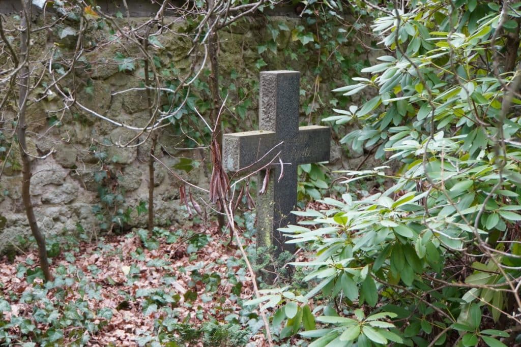
Today, the site is slightly overgrown in the forest and so now and then visitors get lost there in.
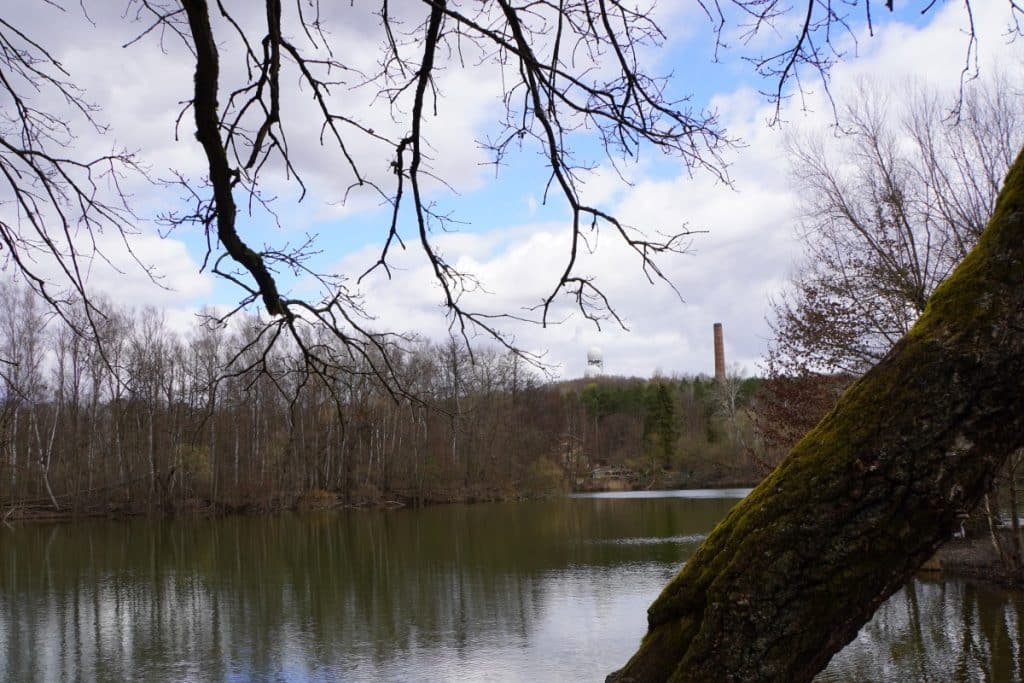
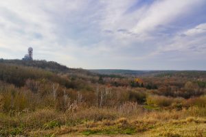
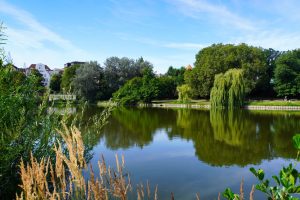
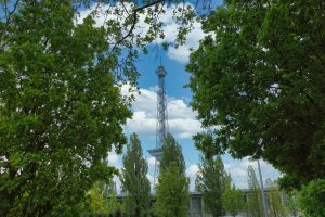
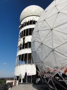
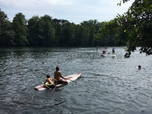
Our hike continued through forest after the cemetery visit. As we passed a lake, we got a beautiful view of the radar station on Teufelsberg.
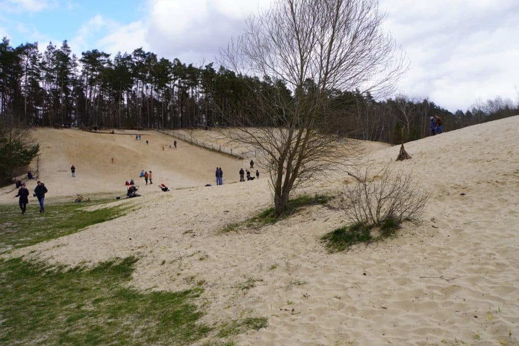
But we were drawn further into Jagen 86 to a huge sand pit. From 1966 to 1983, there was a site in Grunewald for the extraction of building materials. Over the years, more than 3.5 million m³ of fine sand was mined here. This resulted in a pit of about 18 hectares, which was 15-25 meters deep. After the end of the mining, 2 paved ramps were built, which, together with today’s wooden stairs, formed the only access to the pit.
As a result of groundwater injection, shallow water developed at the bottom of the pit and marshy areas were formed. Animals and plants settled, such as water birds, rare insect species and amphibians. Other areas in the pit remained dry and vegetation-free sandy areas, dry and rough grasslands emerged as important habitats for animals.
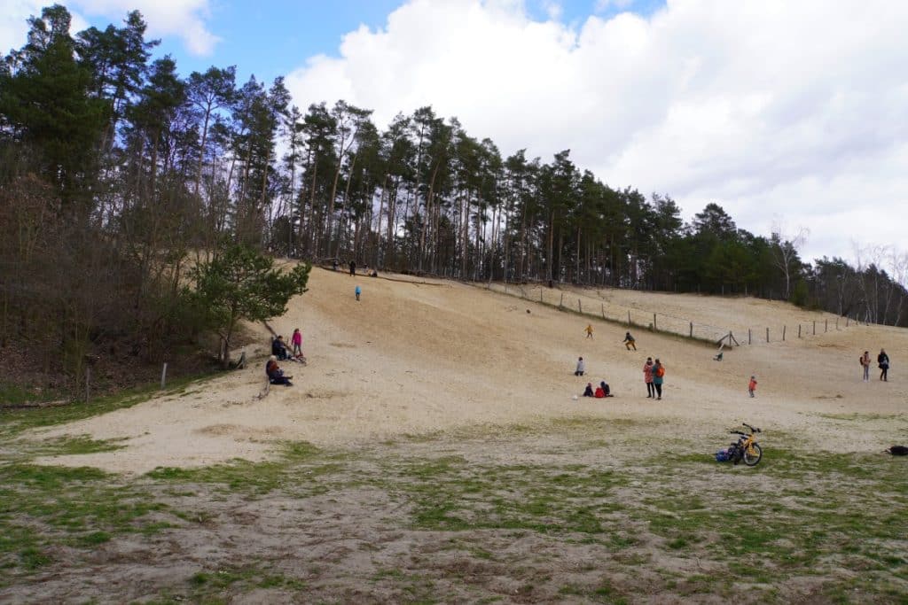
In the nature reserve, a huge sand mountain attracts not only children. You can walk on it, roll down it, dig in it or lie in the warm sand in the sun.
From there we went back to the starting point of the hike to the S-Bahn station Grunewald. The entire route is just over 14 kilometers long and we were on the road for a good 4 hours.























Leave a Reply