In beautiful weather, we set off from Bad Schandau to tackle our planned hike to the Bastei. First we take the train to Rathen.
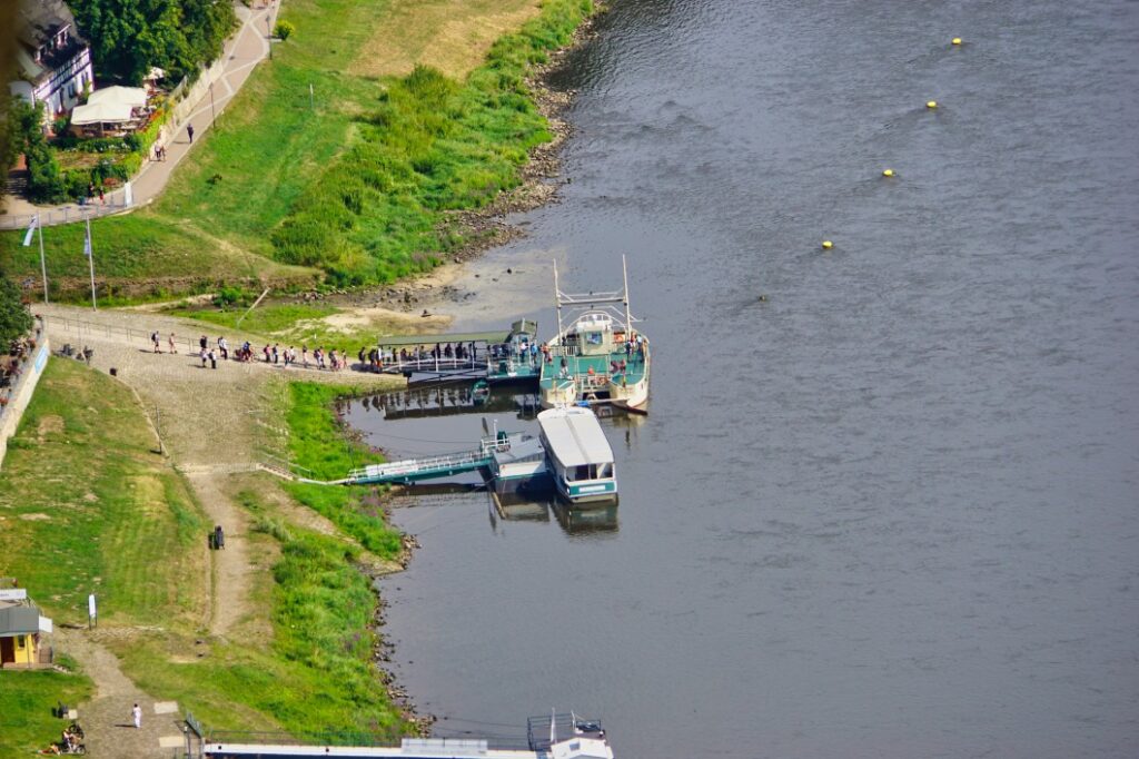
From the train station we have to take a small ferry to Rathen to get to our planned hike to the Bastei. It is already clear here that we have arrived at one of the most visited destinations in the region. Even though Bad Schandau is already very much geared to tourism, there are even more visitors here. The ferry goes back and forth in a tight rhythm and is always full!
Arriving on the other side of the Elbe, most people fortunately immediately stream towards the Bastei. We, however, first walk through the small town, our destination at least a little off the main stream for the time being.
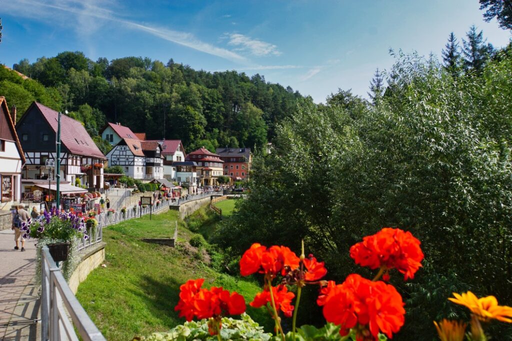
Hike to the Gamrig
Shortly after the tourist information, we leave the main road and continue along an inconspicuous path (Aspichgraben). The view across the meadows already gives an idea of the wonderful impressions one can gather on this tour.
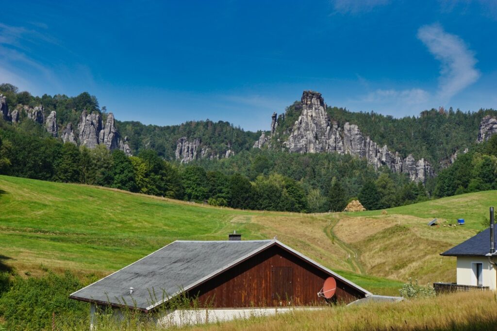
After a while, the path ends at Rathener Straße, a country road that connects Rathen with Waltersdorf.
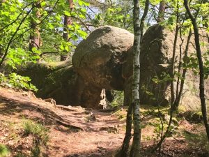
We first went up some steps to the Gamrig Cave. The Gamrig is a 253-metre-high mountain made of sandstone. Originally it was connected to the rock massif of the Carolafelsen. The small cave is at about 220 metres. It is half cave between two sandstone layers and you can go about 20 metres into it.
From the cave, we went back to the main path and then keep to the right to get to an ascent to the summit of Gamrig.
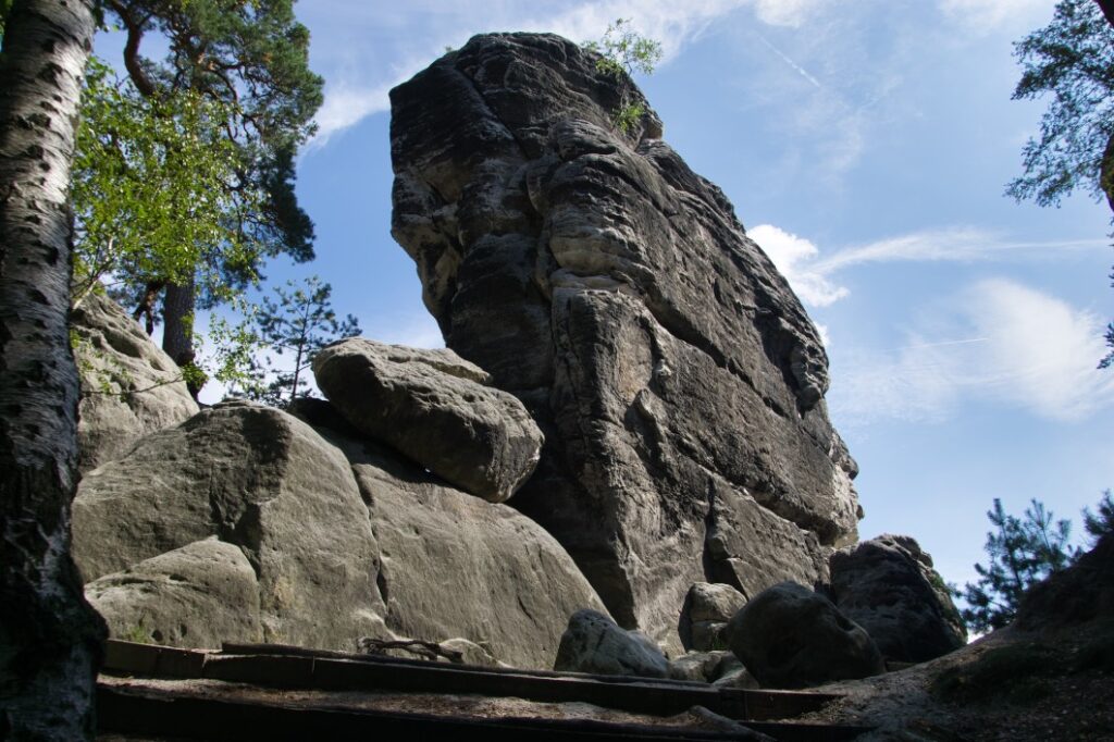
It is imperative that you only walk on the signposted path. There has already been a fatal fall here at a very narrow spot. We did not climb all the way to the top. A narrow passage in particular was too risky for us and we preferred to enjoy the beautiful view of the Elbe at a lower point.
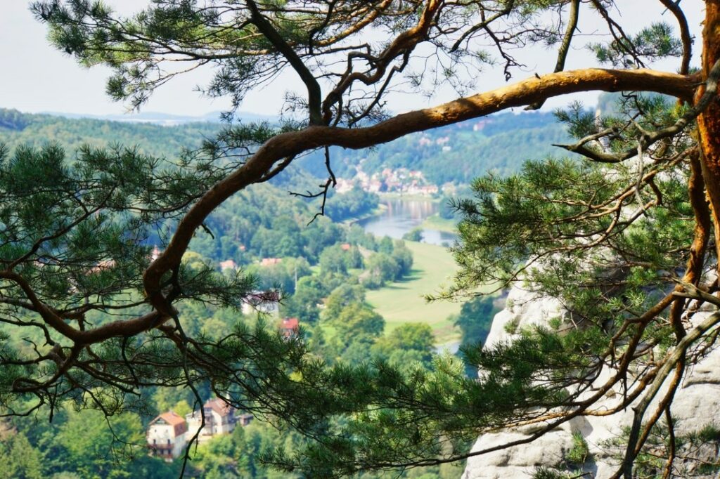
The descent from the Gamrig is on the same path as the ascent. For us, we went back to the main trail and then continued along the Gamrigweg.
Hike to the Amselsee
Our next destination was the Amselsee.
From the Gamrig we continued walking until we passed a wooden barrier. There we turned left onto an unmarked path, which brought us to the main hiking trail after about 400 metres. The main hiking trail is marked with the “red horizontal line”. We only went to the right for a short distance until we turned left at the next opportunity onto the Knotenweg.
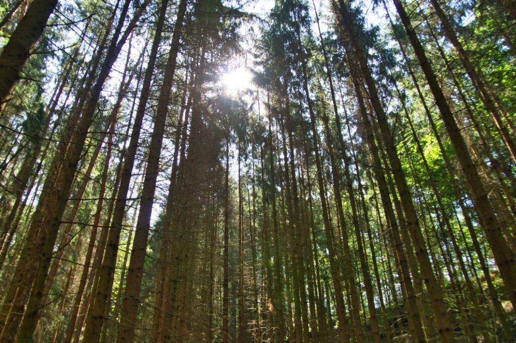
Up to this point we had not met another hiker and so we could enjoy the beautiful nature in peace.
The Knotenweg brought us to a larger main hiking trail (green crossbar/pioneer trail). On this path we finally reached the Amselsee.
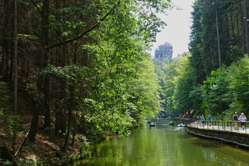
I admit, I didn’t expect to find such a hustle and bustle here. What a stark contrast to our hike up to here. Amselsee is very easy to reach from Rathen on a wide, well-built path. It was accordingly crowded.
The Amselsee is a small reservoir that has existed since 1934. It is mainly used for flood protection, as a fire-fighting pond and also for fish farming. A 5-metre-high dam impounds the Amselgrundbach stream and the resulting Amselsee has become a destination for excursions. You can hire rowing boats here and sit by the water.
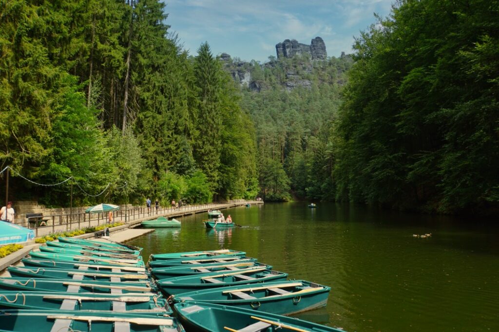
We left again after a short break and followed the Malerweg along the stream.
Hike through the Swedish Holes (Schwedenlöcher)
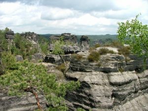
Our destination the Schwedenlöcher, a gorge formed by erosion of the sandstone.
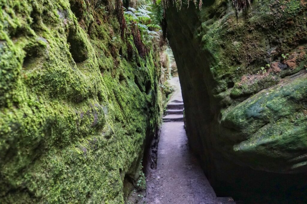
Originally, this gorge was not developed and was very difficult to access. During the Thirty Years’ War, it was first used as a place of refuge by the farmers in the area.
In 1780, the first paths were laid out. However, the development of tourism took place much later, in 1886, when the first footpaths were built. Stairs and bridges were built and the gorge even had to be widened in some places. A hiking trail to the Bastei was created, which today is one of the most famous trails in Saxon Switzerland.
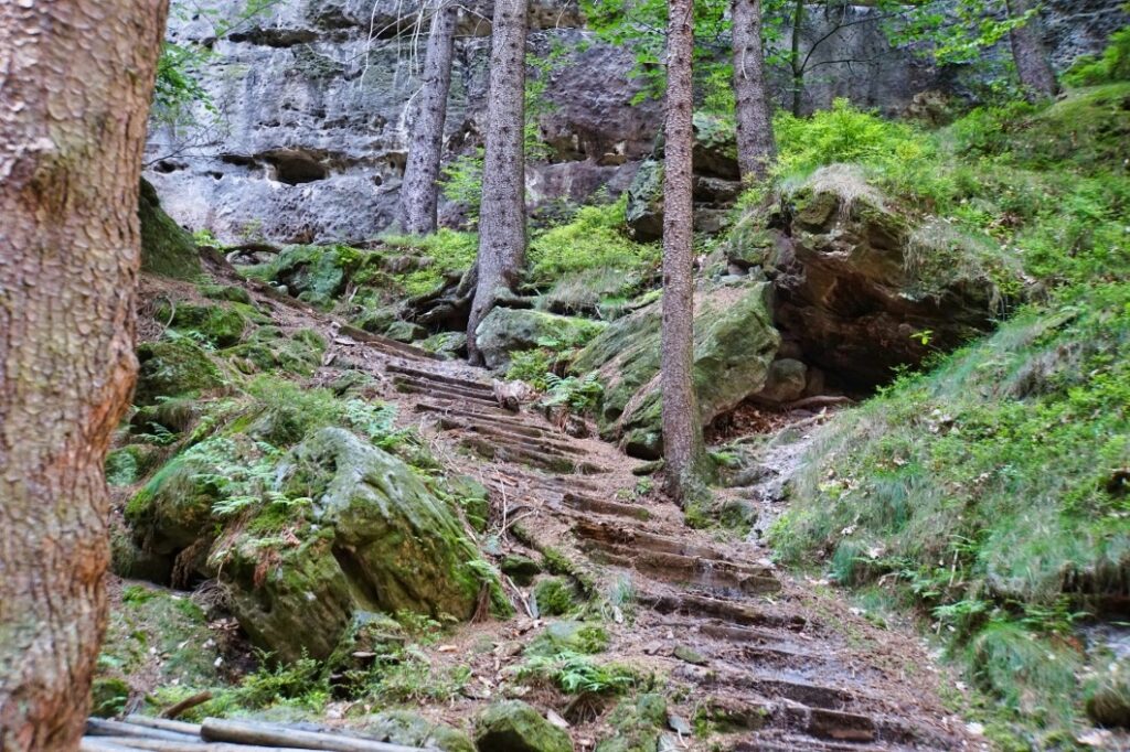
Yes, and that is exactly what makes itself felt. There are estimates that about 2000 people are on the road here every day in the high season. I was very surprised and also frightened by what we experienced on the way. While we were climbing the countless steps – there are supposed to be about 900 – most of the visitors came towards us. (So they were walking downhill from the Bastei via the Schwedenlöcher, on to Amselsee and from there back to Rathen). The footwear ranged from flip-flops to heels to hiking boots, the clothes from suits to jogging trousers. Many visitors did not look like they really realised that they would find a hiking trail here but not a concreted flat path, visibly overwhelmed by the situation.
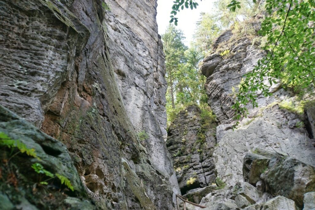
We were definitely exhausted after climbing the 900 steps. But I think it was worth it. The rock passages are really impressive, the landscape simply beautiful!
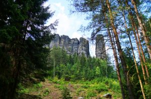
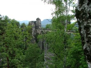
At the top there is a small picnic area. We were drawn a few steps further to a lookout point from where you can see the Bastei Rock. This was to be our next destination.
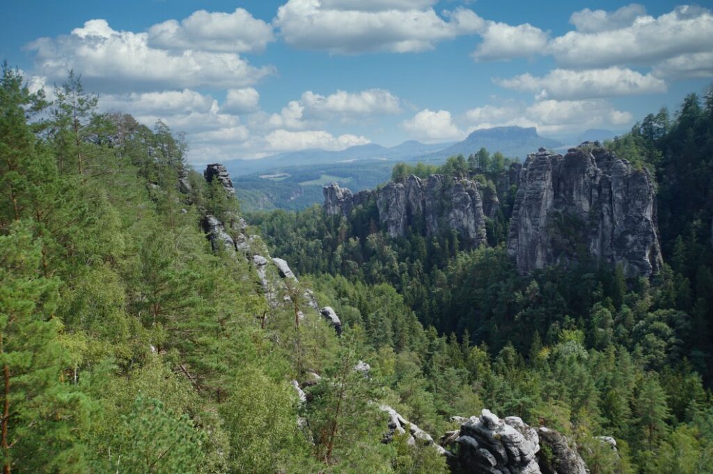
Hiking to the Bastei
Via the Gansweg (blue line) we continued towards the Bastei. After a left turn, we arrived in the tourist hustle and bustle. A crowded access road, groups running behind flags and excited loud talking around us. All looking for the best photo spot, the most beautiful selfie.
I had already been to the Bastei a few years ago, but I couldn’t remember that it was so busy here.
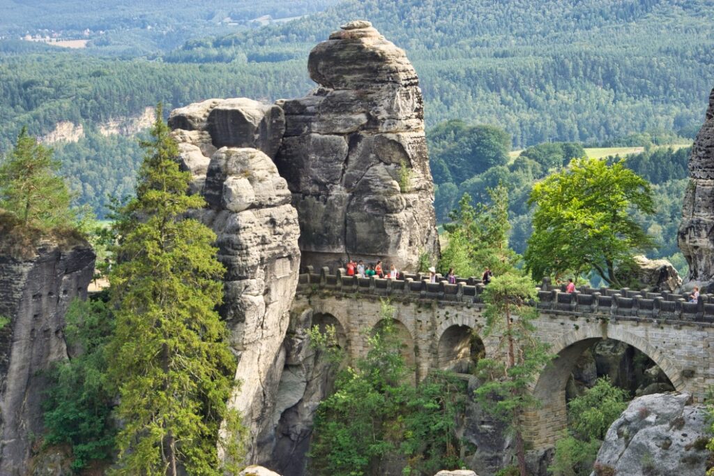
Despite the crowds of visitors, we of course also explored the grounds of the Bastei. We followed the most diverse paths, explored every possible vantage point and enjoyed the breathtaking nature around us.
Walking across the impressive stone bridge, I wondered again on my second visit how this structure came to be.
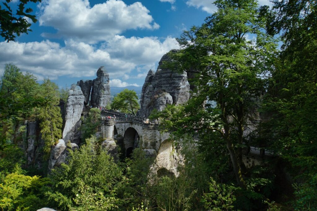
We followed the path over the stone bridge and then left the area of the Bastei in an easterly direction on the hiking trail (red dot or blue horizontal line). From now on it was all downhill for us until we finally arrived back in Rathen.
You can follow the exact course of our hike to the Bastei on the map.
My tip:
I thought the hike to the Bastei was very good the way we did it. I wouldn’t have liked walking down the stairs at the Schwedenlöcher, even though it was quite strenuous uphill. If I were to hike again, I would not visit Amselsee and would rather hike a little longer in the quiet areas.
Leave a Reply