A city tour and relaxation are two sides of the same coin in Radeberg. We went out to explore the City of Beer Path (Bierstadtpfad) and the Planet Path (Planetenwanderweg).
City of Beer Path Radeberg – a city tour
The easiest way to explore the city is via the City of Beer Path Radeberg. The path begins in front of the station and is about 1.5km long. It leads past some historic and some modern sites. Info panels with write-ups about the sites were put up along the way.
We walked the path through Radeberg and explored its waypoints.
1st waypoint: Train station Radeberg
In 1844 the Saxon-Silesian railway company got permission to build a train line from Dresden to Görlitz and in 1845 the first-ever train passed through the section Dresden-Radeberg.
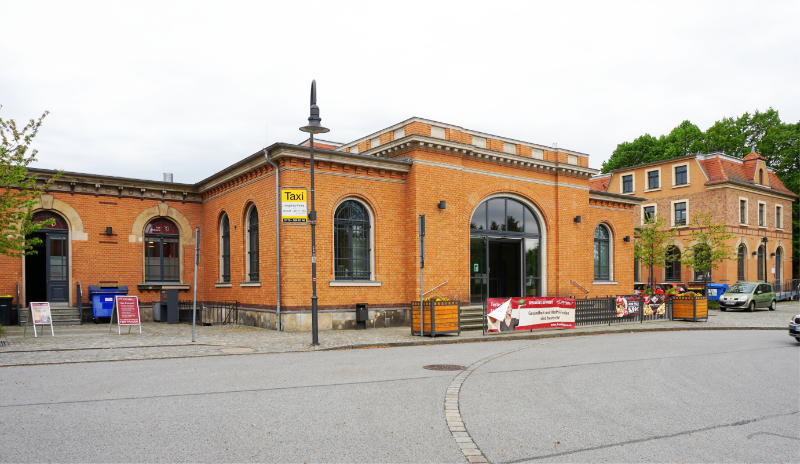
The railway also brought more industry to Radeberg. On the square at the station, horse-drawn carriages were readily available for travellers – life in Radeberg changed.
The station building was purchased and refurbished by the city in 2002. Coaches depart from the station to nearby towns and there is a bike hire as well.
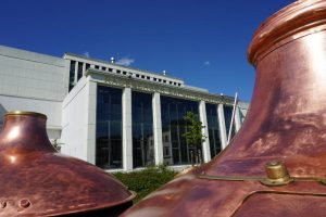
2nd waypoint: Export Beer Brewery Radeberg
We got to see quite a lot of the brewery as part of a guided tour. You can find out more about it in our blogpost “Export Beer Brewery Radeberg – a guided tour”.

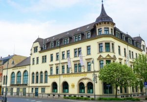
3rd waypoint: Hotel Kaiserhof, Brewery Bar and Beer Theatre Radeberg
You can read about this waypoint in great detail in another post as we stayed in the Hotel Kaiserhof and also visited the Beer Theatre.

I will say this much: The building from 1895 is most definitely worth a visit!
4th waypoint: Destillation and liqueur manufactury Radeberg
The manufactory was founded in 1877. At first, they produced a herbal liqueur that was used as a medicinal bitter. The customers vouched for the comforting effects it had on their stomachs and it was served even to Saxonian royalty.
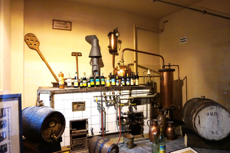
The manufactory had to be handed over to the Sovjet occupiers as reparation after World War II. At the times of the German Democratic Republic, the whole complex was brought under public control. Every Thursday long queues would form because that was the only day where it was officially possible to purchase the liqueur. On other days one could only hope for the best and maybe find some bottom-shelf goods.
After Germany was reunited the factory was given back to the family. The buildings themselves were under monument protection and in need of restoration works. In the process, new distillation facilities were set up as well.

The original Radeberg Bitter is still produced and sold here to this day.
We paused here on our way through the city.
There are a shop and a little exhibition to explore. Parts of the old distillation facilities are on display and through a glass window one can see the modern machines in contrast. Groups of ten or more people can pre-book a guided tour. They also offer liqueur tasters, of course, which we were happy to enjoy. We, or should I say I, liked the liqueur a lot and obviously we bought a bottle to take home.

Adress:
Hauptstraße 44, 01454 Radeberg
5th waypoint: Evangelic City Church
A little off the path we found the City Church of Radeberg. We turned off the path to have a look at the impressive exterior of the building.
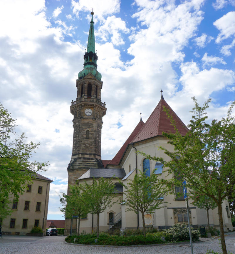
Like many other buildings in Radeberg the City Church, too, was destroyed in a big fire. It was reconstructed and in 1730 became an operational place of worship again. Elaborate restoration works took place over the last years and today the City Church is shining in a new light.
6th waypoint: Market Square
The Market Square is the central spot of Radeberg.
A rectangular square had already existed in this location in 1344 and tradespeople and merchants quickly started to settle down around it. It turned out to be really beneficial that the square was located on a trade route from Halle to Bohemia.
Unfortunately, fires in the 18th century destroyed all buildings around the square. The buildings were renewed after the last big fire in 1741 and some of them are still intact today.
The Town Hall of Radeberg is also located at the Market Square. The Town Hall was mainly financed by donations of the public. It is a baroque building that was completed in 1787. A tower with a clock was added in 1787.
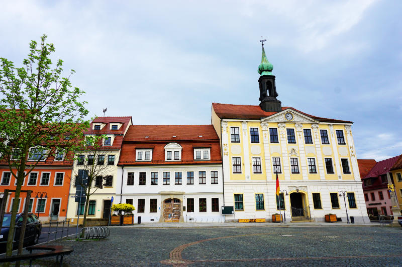
Too bad that the square is used as a car park. The view of the beautiful buildings is considerably less pretty with cars parked in front of them.
7th waypoint: Schloßstraße (Castle Street)
Walking down Schloßstraße means walking one of the oldest streets of the city. It connects the Market Square with Castle Klippenstein.
The Castle Gate used to be at the lower end of the street. It was one of five city gates that were part of the city’s defence system. Unfortunately, the gate, too, was destroyed in a fire alongside the other buildings of the street. Here, too, massive reconstruction work was carried out and new residential houses were erected in 1747.
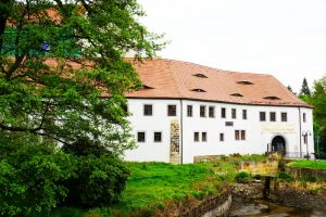
8th waypoint: Castle Klippenstein
Castle Klippenstein is where the City of Beer Path ends. We visited the castle and the museum and recommend both.
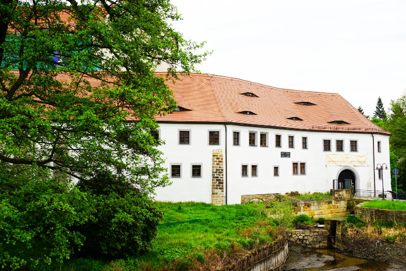
Here is a blog post specifically about the visit.
Relaxing on the Planet Path or “Where is Pluto?”
The Planet Path starts right in front of Castle Klippenstein and leads through the nature reserve Hüttertal.
The first info sign is also right in front of the castle – it is about the sun. It states some facts about the planet and also the distance to the next planet in our solar system. All info panels are spaced out over the length of the path so that one walks the relative distances between the planets. What a great idea! To be honest, I was quite surprised how close to each other the signs were in the beginning. I couldn’t really picture the distances between planets before. Walking the relative distances between them really helped with that.

So we followed the Path of the Planets along the road next to the castle and then along the river Große Röder.
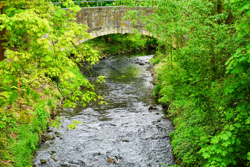
Slowly, the distances between the info panels grew and the path led into the nature reserve. We kept following the river Große Röder past meadows, trees and singing birds. A wonderfully relaxing path. This is a path one could easily walk with the whole family.
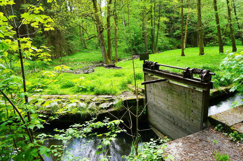
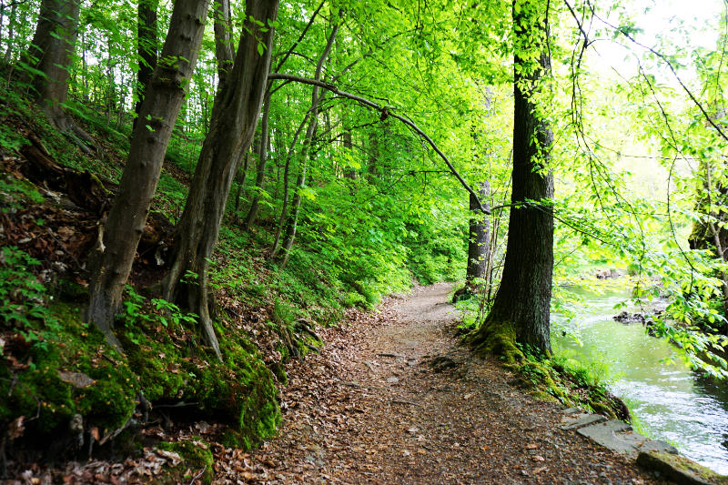
Then we arrived at the sign that represented Neptun. Neptun is, so much I remember from school, the last but one in our solar system. Pluto was the last planet to reach…
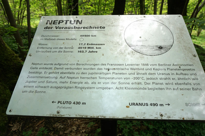
The sign clearly said 430 meters to Pluto and in brackets underneath it said Felixturm (Felix Tower). Okay, we continued to a fork in the path…
There was no signpost to Pluto but one pointing to the Felixturm. I was in favour of taking the route to the Felixturm, Patrick would have preferred to follow the river. Which way would have been the right one we don’t know. On the way to the tower and also around the tower we could not find a sign for Pluto. But also on the path following the river we didn’t spot anything. Or did we not walk far enough?
I have a different suspicion. There is no sign. In 2006 the International Astronomical Union reversed Pluto’s classification as a planet and made it a dwarf planet. Maybe a scholar removed the sign and that’s why we couldn’t find it.
Anyway, the walk was absolutely wonderful. I enjoyed how quiet it was!

Leave a Reply