Tanja von Spaness and the Brodenbach organization team came up with something very special. We were allowed to experience the Saturday afternoon, divided into different groups the #AbenteuerBrodenbach in the truest sense of the word adventurous. Depending on our interests, we could join one of three groups: Adventure Herbs & Cuisine, Adventure Thunderhole, Adventure Ehrbachklamm.
I chose the adventure Donnerloch – here the theme was geocaching with a hike on the program.
What is Geocaching?
Geocaching is, if you look at it closely, a kind of scavenger hunt. However, one does not follow a visually visible trail, but works with modern technology and works with coordinates.
In 2000, Bill Clinton had the jammer, which artificially degraded the GPS satellite signal, switched off. Now it was possible to use the satellite signals for civil navigation. An accuracy of a few meters can be achieved.
In May 2000, an American near Portland had the idea of hiding a bucket filled with some things in the middle of a forest. He published the coordinates on the Internet and after a short time the hiding place was found by someone with the help of a GPS device.
This was the “birth” of the idea of documenting geocaches with coordinates and recording them on a website.
Today you can find geocaches all over the world, there are said to be about 3 million. Even on the European space station you can find a geocache.
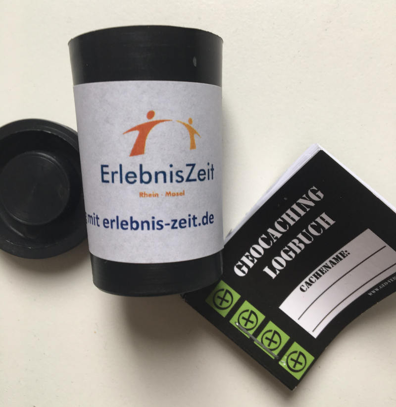
Geocache – what do they look like?
The ideal geocache is a solid, waterproof and lockable container in which the contents are well protected. The shape of the cache does not matter, from a film can to a Tupperware box – from a steel box to a safe, whatever fits the location of the hiding place is used.
Geocachers have “agreed” on a size classification:
- Nano:
tiny container usually under 1 cm in diameter, sometimes magnetic
Often contains only a small note as logbook - Micro or Mini:
very small container (film can or PET blanks)
often contains only pen and logbook - Small:
small container
contains logbook and small items - Regular or Medium:
Containers can hold contents from one to several liters
offer space for several trackables or exchange items - Large:
large containers
can contain unusual barter items
When you find a geocache, you can sign the logbook and, if you wish, barter for the items you have found. Make sure that the value of the objects is as equal as possible.
Task of the geocaches
A geocache is usually associated with a task. There are different categories, which place different demands on the searcher.
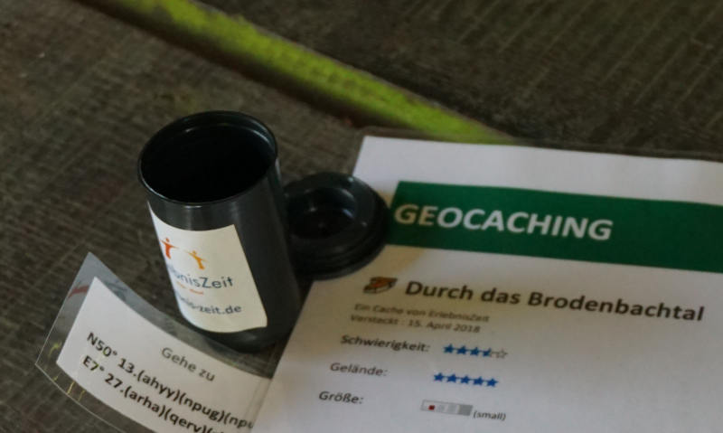
Some examples:
- Traditional Geocache
This is the most common type of cache. For the search, the user directly receives the coordinates of the hiding place. Nevertheless, the search can be difficult, because the camouflage of the cache is particularly important in geocaching. Non-geocachers – so-called muggles – should not find the hiding places if possible. - Multi-Cache
Here the searcher must complete several stations until he finds the final hiding place. Each station contains clues, which finally result in the coordinates for the final cache. Often the clues have been specially placed and it may be necessary to travel longer distances between the individual points. - Puzzle Cache
Riddles of various types and difficulty levels help further in the search for the desired coordinates. Often they are mathematical puzzles, picture puzzles, Sudokos, … Sometimes you need tools like code tables, Morse code or Braille to solve the puzzle.
What do I need for geocaching?
The basic requirement is a GPS receiver. It does not matter whether it is a pure GPS device or, for example, a cell phone, notebook, mobile navigation device with the possibility to receive GPS data. It is important to have a long battery life, otherwise you stand in the middle of the terrain and find neither cache nor the way back home.
On the website Geocaching.com exists a database that contains more than 3 million geocaches worldwide.
Should you now want to try geocaching, you can make a free registration here. Then it can actually already start. You look for a geocache description, print it out and load the coordinates into your device.
Attention! For some caches additional tools are needed, but they are indicated in the task description.
Geocaching in Brodenbach
Achim from ErlebnisZeit provided us with this knowledge before we could start our adventure. To be honest, my head was spinning and until our first port of call, I still didn’t know what he actually wanted from me.
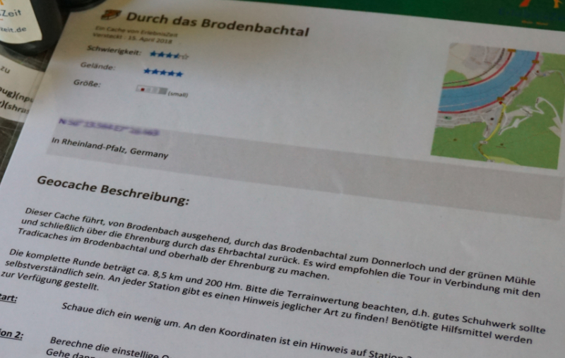
We were equipped with a GPS device, which Kathrin from Travelinspired operated, a cell phone with a suitable app – operated by Jan the Deutschlandjäger, many lists / codes (I carried) and good tips from Achim. Also in the team were Tanja from Spaness, who had some good ideas on the search for the caches and Marcus with his dog Laila from the travel blog Schöne Aussicht.
So we muggles (newcomers to geocaching) ran off and then stood with huge question marks on our faces at the location of the first coordinates.
What should we look for?
Cans?
Slips of paper?
Signs?
How accurate is such a GPS device?
Do we have to search the surrounding area?
A look at Achim’s face shows that he visibly enjoyed our perplexity. So we started to search… and search… and searching… until a question came… could it be maybe this one? Fortunately Achim didn’t let us fidget for long and confirmed our first find. So pen and paper were taken out and the task was solved together.
Our way led us from cache to cache out of Brodenbach into the Brodenbach valley.
But not that we had the feeling our search would be boring. Achim had created this route especially for us and built in the most diverse riddles. Especially our logical thinking and our arithmetic skills he put to the test again and again.
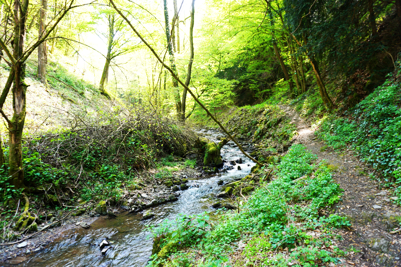
Besides all the searching, one should not forget to walk through the terrain with open eyes. We took a wonderful hike through the Brodenbach Valley, always along the Brodenbach. Wild garlic grew at the edge of the path, the water splashed and the birds chirped – fantastically beautiful!
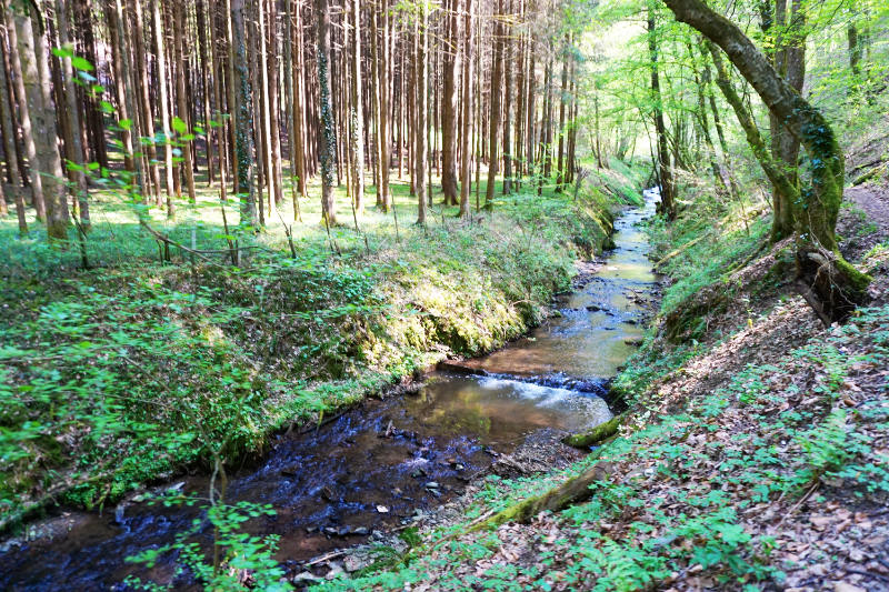
After a while, the coordinates we found led us to the thunder hole.
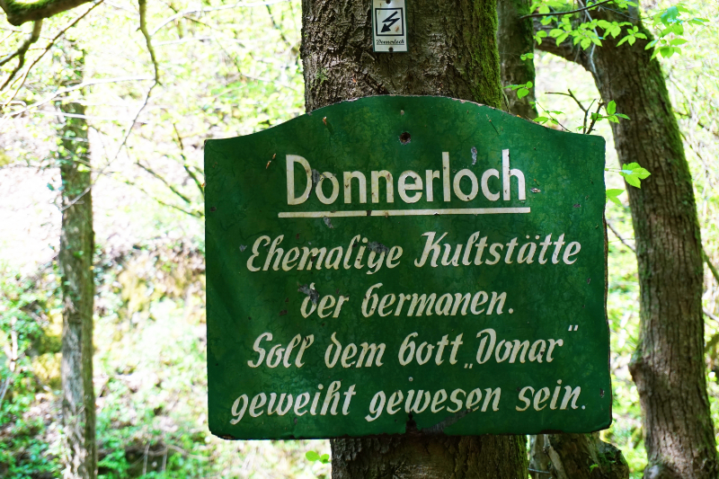
For me, a highlight of the hike. We had arrived at a small waterfall.
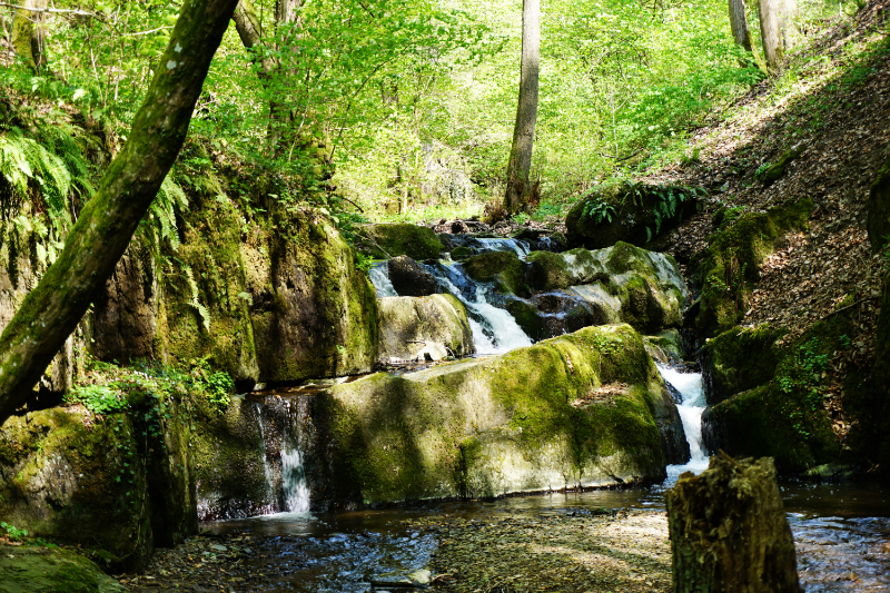
Over some steps we could descend to the water. My fellow muggles were shortly drawn to the rocks and into the water, it was photo time! I could have sat here for hours and watched the play of the sun’s rays.
In general, the whole hike constantly attracted one or the other photo motif and distracted from the search for the cache.
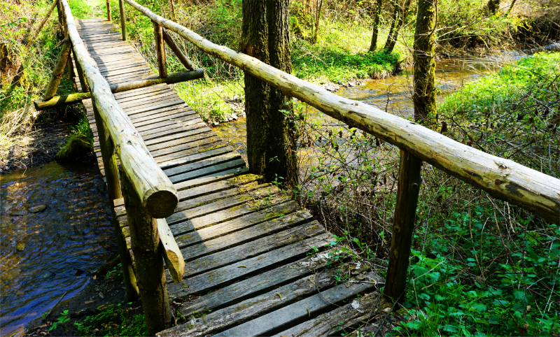
After a good 8 kilometers and 4 hours we arrived at the penultimate cache.
What were we looking for. So far we had small film cans, clues behind signs, a telephone puzzle – but here????
It took us a while to discover a holey firmly fixed standing pipe with a film can at the bottom. How were we going to get these out of there? Water from the nearby creek, lots of fingers on the holes and a lot of fun later we could determine our penultimate coordinates.
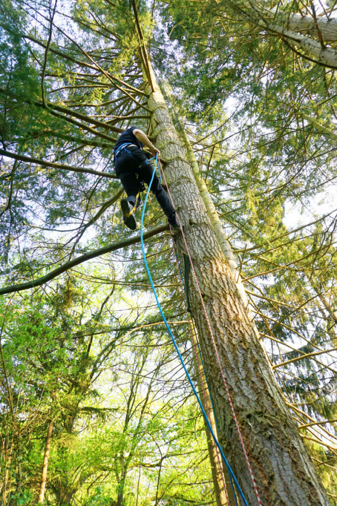
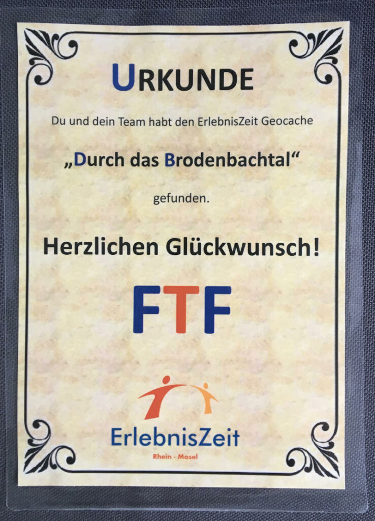
The last target was high up in a tree. Achim got into his climbing gear and brought the cache down for us. Our group signed the logbook and now we are proud “FTF” (first to find) and no more ignorant muggles!
I have to say, I haven’t had this much fun on a hike in a long time.
And Team #AbenteuerBrodenbach, how about a geocaching tour in Berlin, Hamburg or…?
In any case, I have already registered at Geocaching.com and will see if I can find caches at home.
Disclosure: The geocaching tour was an offering during the Bloggerreise Abenteuer Brodenbach. The report corresponds to my own experiences and my own opinion.
Leave a Reply