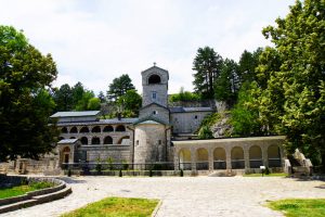
We wanted to spend one week of our stay in Montenegro in the middle of the mighty mountains of the Durmitor National Park. When looking for suitable accommodation, we chose the small town of Žabljak in the centre of the national park.
On the way in Žabljak
From Podgorica we went by car to the mountains. The route to the Durmitor National Park is well developed and there are regular buses, trucks and excursion buses to the town.
I really enjoyed the drive. The landscape around us was worth seeing and there were quite a few places where I would have loved to jump out of the car to take pictures.
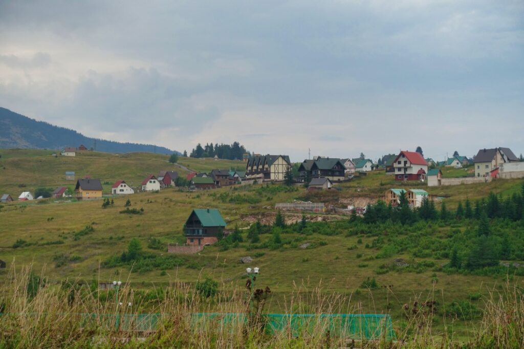
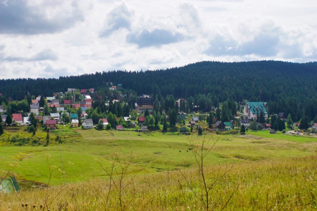
Žabljak lies at an altitude of 1456 metres and is the highest town in Montenegro. We were aware of this when we made our booking and took the precaution of packing warm clothes. It can get quite chilly here in September.
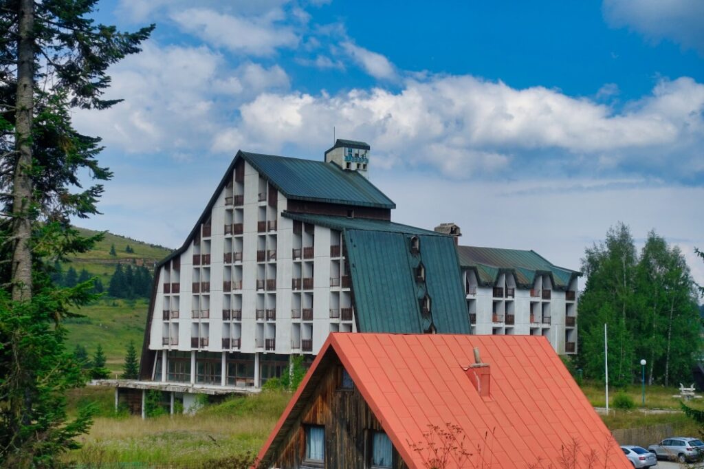
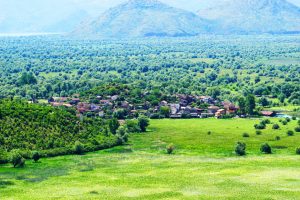
Žabljak was completely destroyed during the Second World War. And if you walk around the village, you will notice some of the “sins” of the post-war buildings, some of which are already empty. The place is really not beautiful. It is a popular holiday destination, but visually the town is far removed from the tourist centres of Kotor and Budva. Fortunately, this is also noticeable in the prices. We had rented a holiday home (2 bedrooms, living area with kitchen) that belonged to a small complex next to a ski lift. In terms of price, it was far below the other accommodation we had used in Montenegro so far.
Today, about 2000 inhabitants live in the town. In summer, Žabljak is a refuge from the heat of the lowlands for many Serbs and Montenegrins, and in winter you can ski here. When we were there in September, there were mainly day visitors or sometimes guests staying 1-2 nights in the outhouses. Actually, the place was in a transitional phase between seasons.
In the village itself, you can easily find everything you need for a relaxing stay. There are several restaurants, supermarkets and small kiosks, inexpensive bakeries and a petrol station. What you won’t find, however, is a shopping street for strolling and looking at shops. Nature dominates here and it is quite possible that a cow will walk along the main road.
For us, the stay in Žabljak was a dreamlike respite from the big city and the ideal starting point for discovering the Durmitor National Park.
Durmitor National Park
Durmitor is a mountain massif that encloses an area that was declared a national park in 1952. In 1980, Durmitor National Park was included in the UNESCO World Heritage List.
It is impressive to be in a region where 48 peaks are higher than 2000 metres. Bobotov Kuk is the highest peak in the region at 2511 metres.
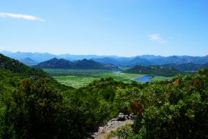
In the region of the mountain massif there are numerous lakes, such as Crno jezero (1416 m), which is within walking distance of Žabljak.
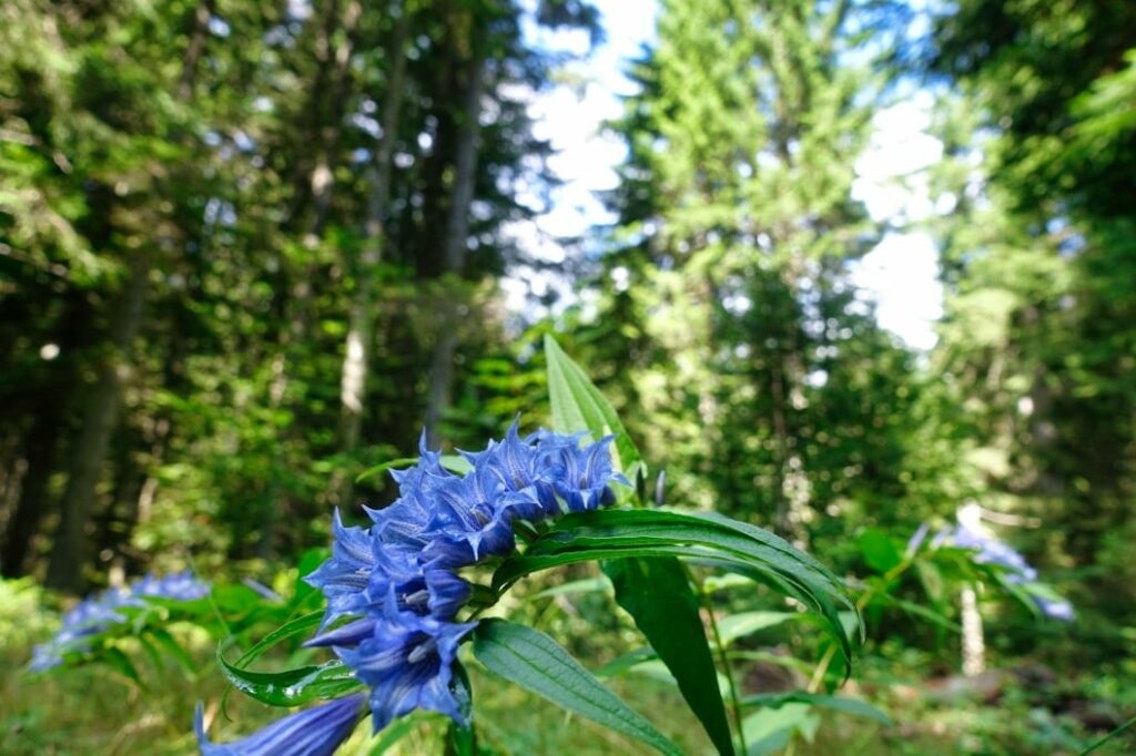
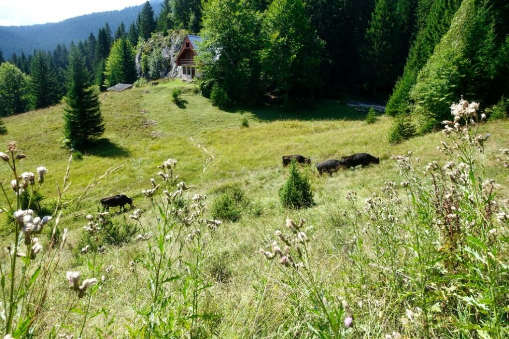
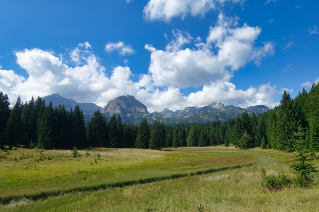
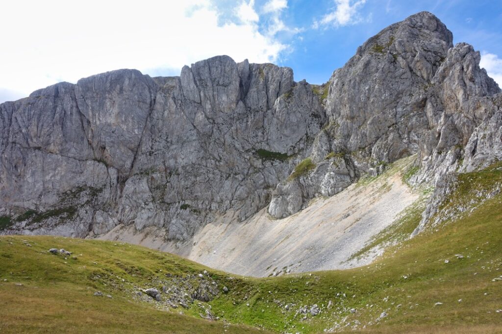
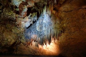
In the national park you will find fantastic flora and fauna. Natural forests and high plateaus with their pines, birches and beeches are home not only to wild boar, but also to wolves, wild cats, chamois, brown bears and numerous birds.
A truly impressive and beautiful landscape that is best discovered by hiking along the numerous signposted routes.
Attention! Hikes through the national park are subject to a fee. There are rangers not only at the well-known entrances to the area, but also on the hiking trails. The hiking map cost €3 per day and person during our visit. We met a ranger on two days during our time and bought our hiking map.
Excursion destinations in Durmitor National Park
We planned to do some shorter and maybe longer hikes during our time in the mountains.
Hike (about 12 kilometres) with start and end point Žabljak
One of our walks was a circular route from our accommodation through the surrounding area back to our accommodation.
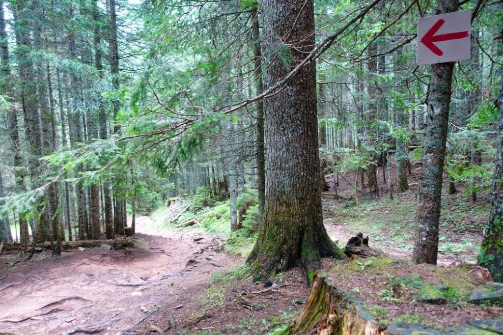
Since we had planned to travel as little as possible by car, I picked out a route that gave us a bit of an idea of the area around the village. You can follow the exact course on the map.
First, we left the village via a steeply ascending road (without car traffic) to a point from which one has a great overview of the entire village. We walked along well-paved paths through forests without meeting a single person.
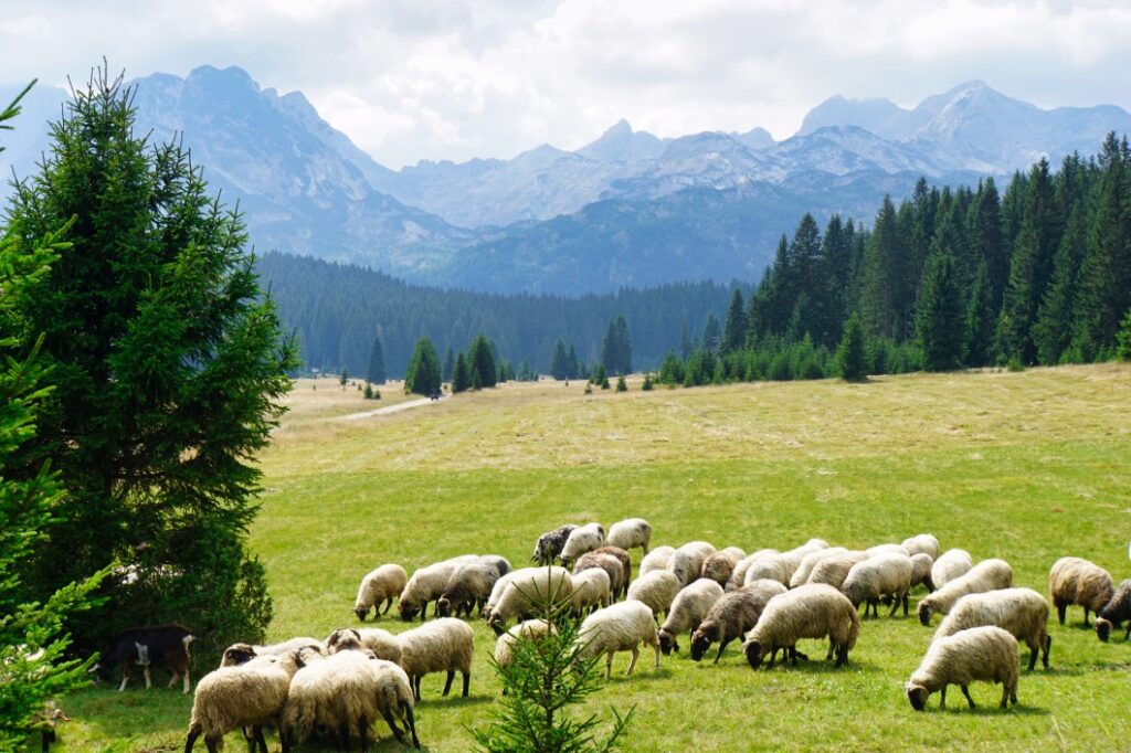
When the forest cleared a little, we reached a meadow. Here a shepherd was herding a flock of sheep and a goat. Our path led through the middle of the herd, but neither man nor animal was disturbed.
Afterwards, we went through the forest again on a road that led to a small village. The cluster of houses was on the edge of a ski slope, which is used by farmers as a pasture for cattle in the summer.
After leaving this area, we came to a hiking area near the Crno Jezero lake. There were now considerably more people on the hiking trails. Nevertheless, you can continue your way in peace and enjoy the beautiful nature.
At the car park used by day visitors to Lake Crno Jezero, the hiking trail ended and for us it was back to our accommodation along the feeder road.
Even though we were not exclusively on natural paths, I really liked this route. We were alone almost the entire way and could enjoy the peace and quiet.
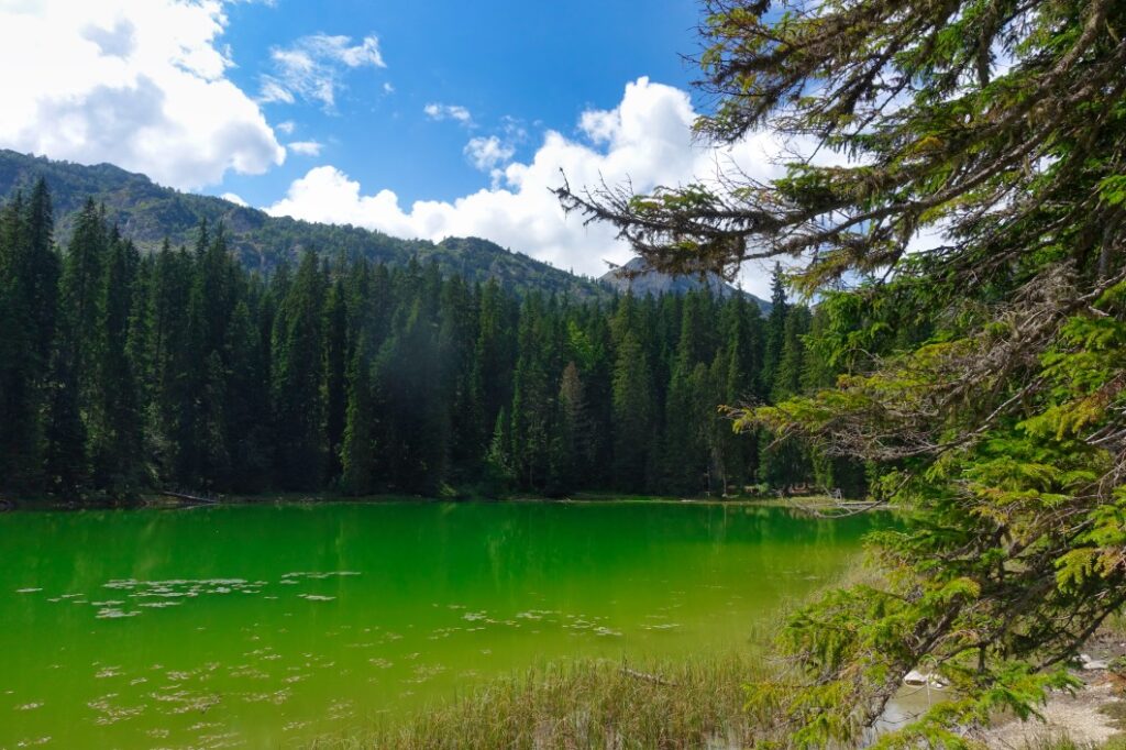
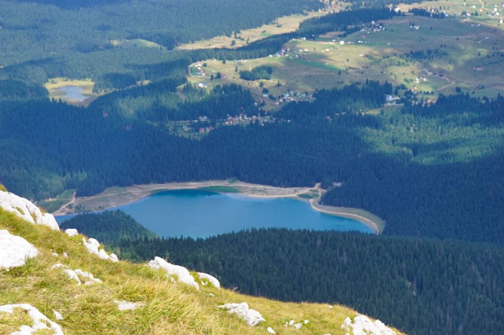
Crno Jezero Lake in Durmitor National Park
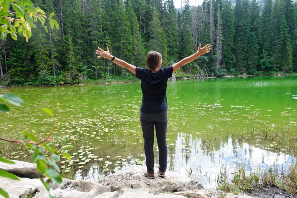
Within walking distance of our accommodation was Crno Jezero Lake, one of the most popular destinations in the region. Here we went on several hikes and explored the surrounding area.
Hike to the lake
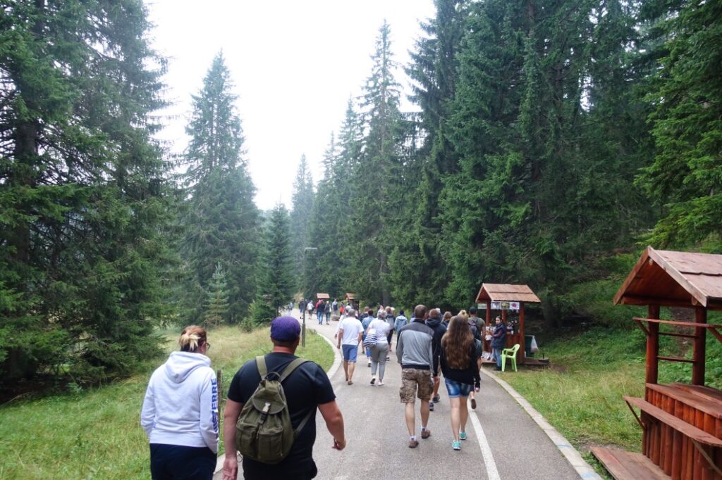
Our first hike led directly to the lake. From our accommodation, we walked along the feeder road towards the lake. To be honest, I was a bit scared because the closer we got to the lake, the more cars and buses parked on the side of the road and finally we passed a ticket booth where the entrance fee for the national park was collected.
From there, a wide concrete path lined with stalls led to the lake. In front of us and behind us, people were walking over each other – a bit of a feeling of overtusism set in and I wondered if the visit to the lake would really be worth it or if it would all just be a good show for the visitors.
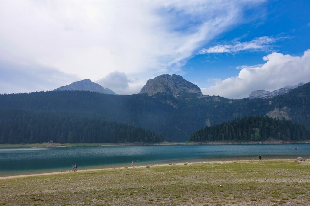
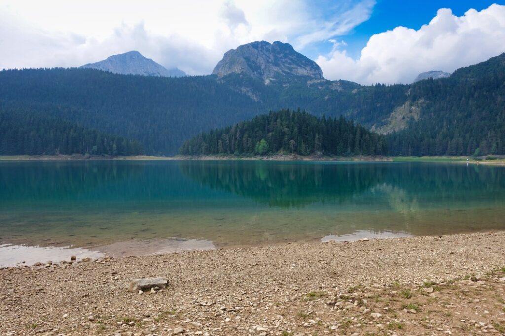
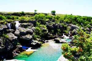
In my research beforehand, I had read that the glacial lake was supposed to be exceptionally beautiful. Called “Black Lake”, Crno Jezero Lake is the largest of the glacier lakes in the national park. The lake is divided into two sub-lakes. The large lake is said to be up to 26 metres deep, while the smaller lake reaches a depth of about 50 metres.
When we arrived at the lake, I was very pleasantly surprised. The lake is really beautiful! The sun shone on the surface of the water and gave the lake a wonderful charm. Even though it wasn’t black (that’s how it looks in the shade) but blue-green, I could understand why it attracted visitors. I was particularly fascinated by the view over the lake – what an imposing mountain massif rises there.
There is a hiking trail around the lake that leads through forests and always offers a stunning view of the lake.
Our way to and around the lake can be easily followed on the map.
Hiking in the National Park near Crno Jezero Lake
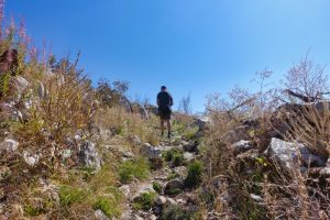
On a second hike near the lake, we tried to stay a little away from the hustle and bustle around the lake. So we turned off before entering the national park and walked up a steeply ascending road. There was a marked hiking trail that would take us from the village road into the forest area around Lake Crno Jezero after a short while.
At the “entrance” of the path into the park stood a ranger who first collected our “entrance fee” of 3,-€ per person. In the course of the hike, we met him twice more and each time we had to show our ticket.
Our path first led us to a lake in the middle of a swampy area. We tried to get to the lake on a trail. However, it remained an attempt. The terrain became increasingly muddy and our feet sank more and more. The risk of getting stuck was just too great for us and so we preferred to return to dry ground.
Following the marked path and almost alone, we then set off for another lake, Zminjn Jezero, which I had seen on a map before. I would never have guessed what was waiting for us there. I liked Zminjn Jezero almost better than its famous brother just a few metres away. Not only was it much quieter here, the lake was almost “tourist-free”. We could sit on the shore for a while and watch the light reflections in the water, dragonflies flying around, birds chirping and the leaves of the trees rustling gently in the wind. Simply beautiful!
Only with difficulty were we able to free ourselves from this idyll and set off on our way back. This led us in the direction of the Black Lake and from there back to our holiday home.
If you want to follow or hike the exact route of our hike to Zminjn Jezero, you can find it on the map:
Tara Gorge – a short visit
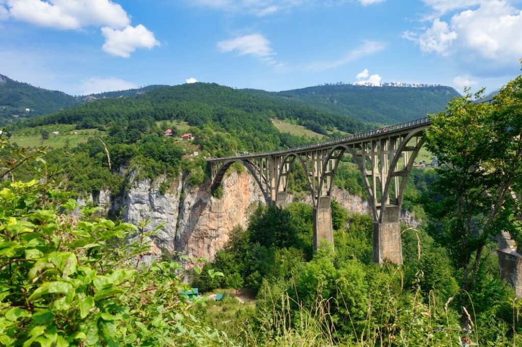
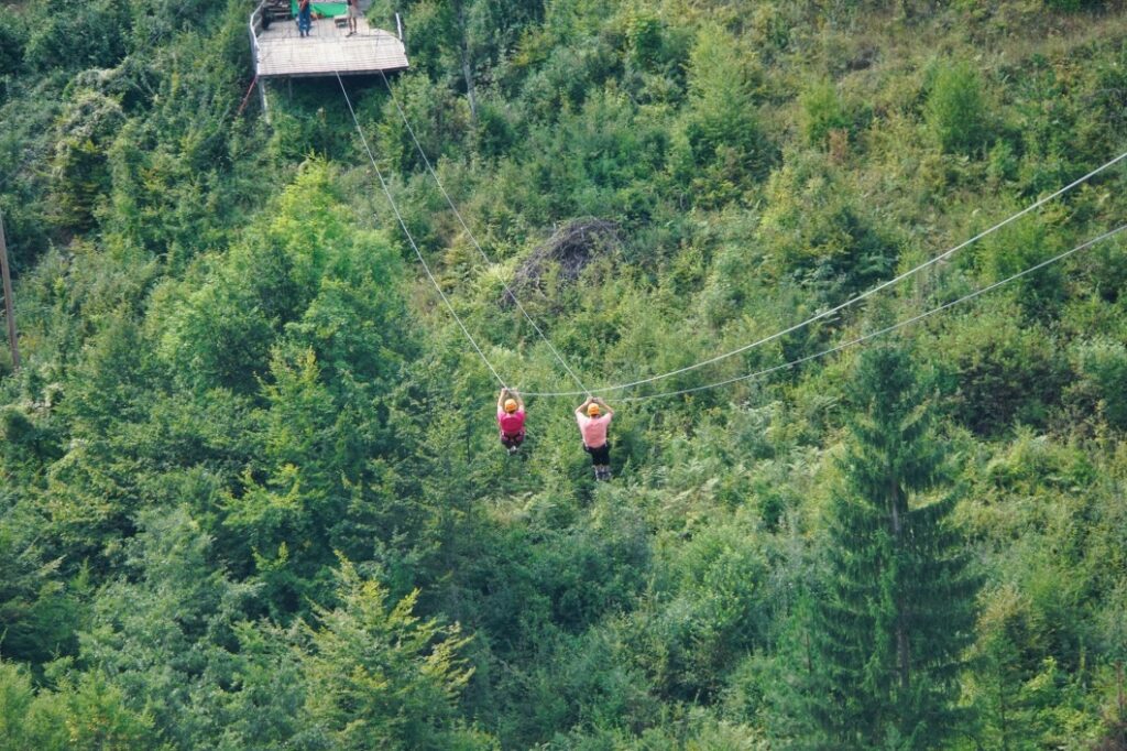
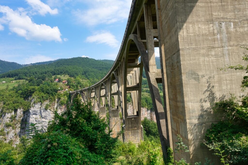
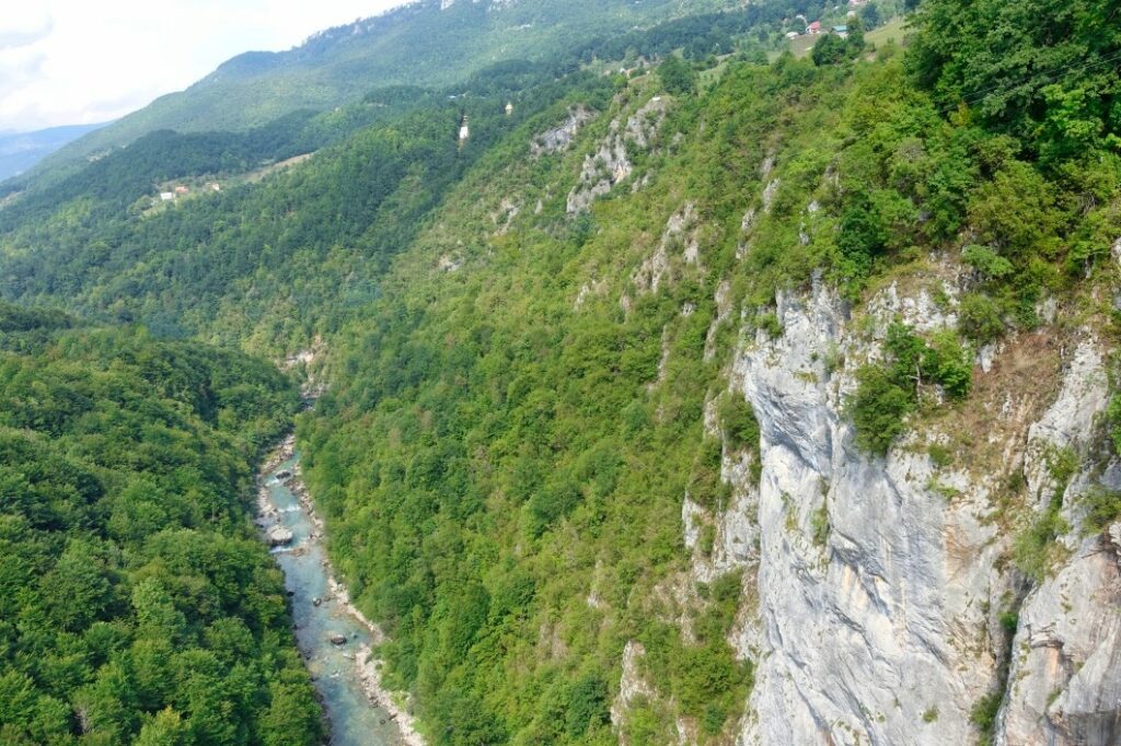
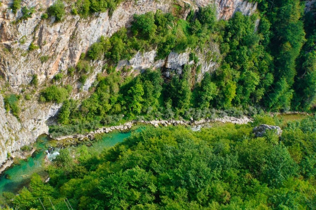
One morning we went by car to another top excursion destination in Montenegro, the Tara Gorge. The gorge is one of the most pristine river valleys in Europe and is crossed by Montenegro’s longest river. Over the centuries, the river has carved a deep gorge in the mountain landscape. We had seen many pictures of ziplines crossing the gorge and wild rafting tours in rapids. There were also pictures of an impressive bridge and that is exactly where our path led us.
The walls of the Tara Gorge drop steeply, so there are few really good viewpoints. The Tara Bridge is one possible place where you can get a good view into the gorge.
The road to the gorge is winding, but well developed. It was rather more difficult to find a parking space on the spot, you are not allowed to park at the roadside and there are only a few other parking spaces. We opted for a paid car park, but the price was adjusted to the tourist crowds at the gorge.
Besides the bridge, some operators here offer various Zip Line deals. At first I thought about taking a ride. The prices were okay, but to be honest, the view of the gorge made me feel a little different and I decided against it.
The Tara Bridge was built in 1941. It is 350 metres long and about 7 metres wide. Two cars can just pass each other and there is a narrow strip at the edge for pedestrians. I was a bit surprised about the structural condition of the bridge. Let’s put it this way, it holds, it carries – but beautiful is different.
But the view from the bridge is beautiful. The canyon stretches out below you in an almost infinite depth. The water of the river glistens and I regret that we didn’t opt for a rafting tour. That would certainly have been an indescribable experience. Despite the traffic on the bridge, we enjoyed this dreamlike view for quite a while and who knows, maybe we will come back and see the bridge from a different perspective.
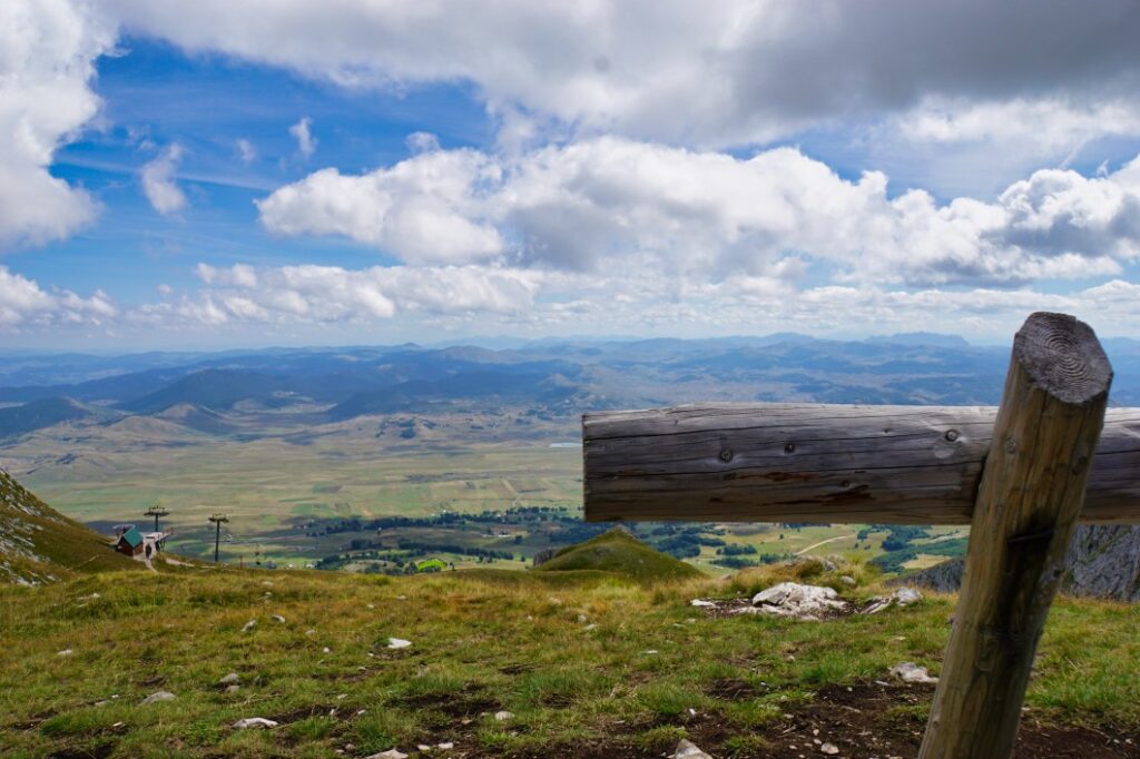
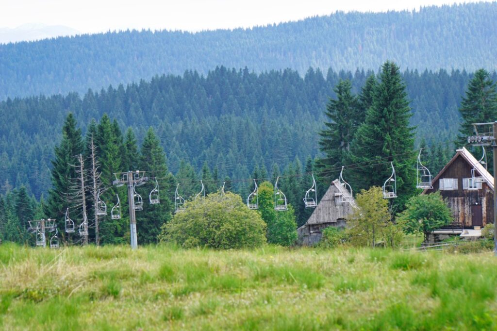
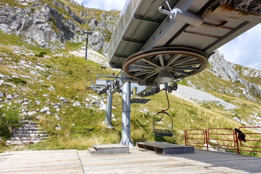
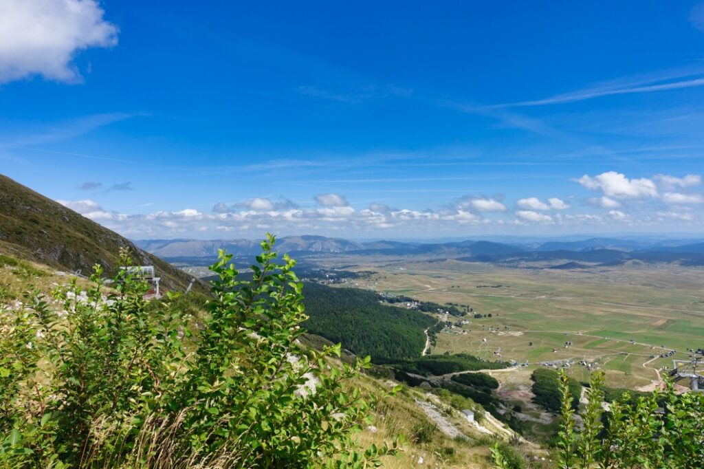
Chairlift ride up Savin Kuk
At first, we had postponed this excursion again and again – until we finally had the much longed-for blue sky in the morning.
By car we went to the neighbouring village, about 5 kilometres away from Žabljak. Here is part of the Durmitor ski centre and from here, in summer, you can take the chairlift a long way up to the top of Savin Kuk at 2313 metres.
The car park was almost empty when we parked our rental car here free of charge. Above us, some paragliders flew their curves and landed on the neighbouring field.
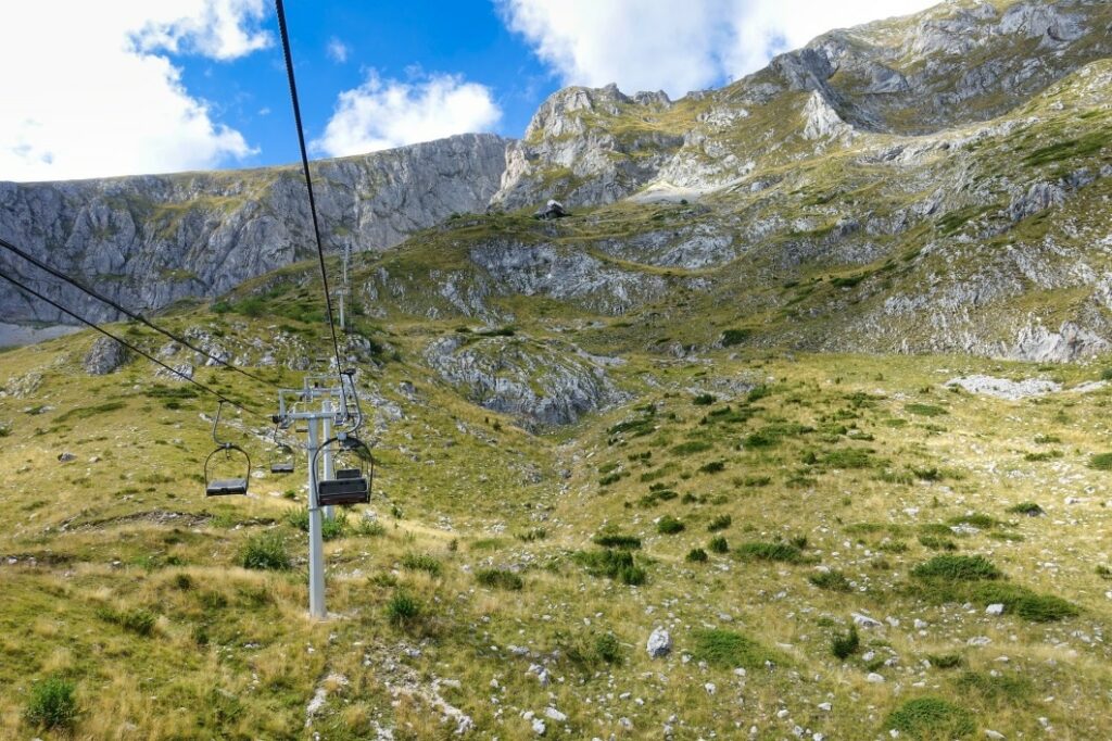
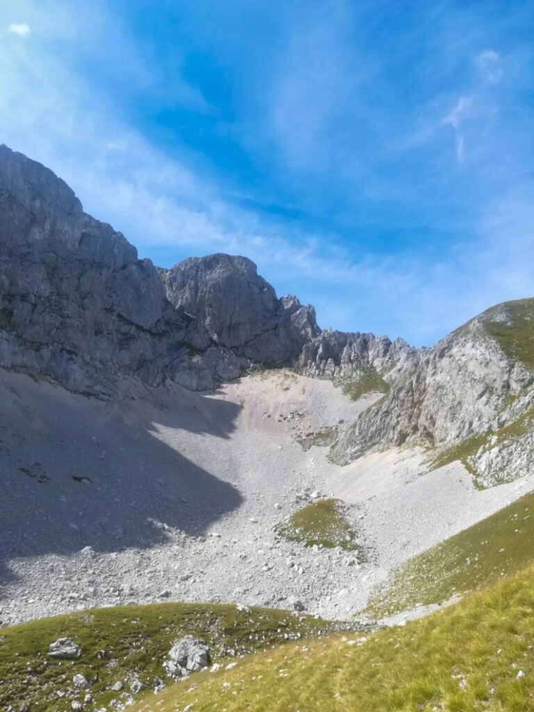
We bought our tickets (8,-€ as of summer 2019) for the ascent and descent and boarded a chairlift that was a bit outdated. We comfortably drove uphill and were able to marvel at the beauty of the surrounding mountains. What barren masses of rock piled up, every moment the rock looked a little different due to the incoming light and every time we discovered something new.
After about 2/3 of the way, we got off the chairlift, walked a few steps and got on the next lift that would take us even closer to the summit.
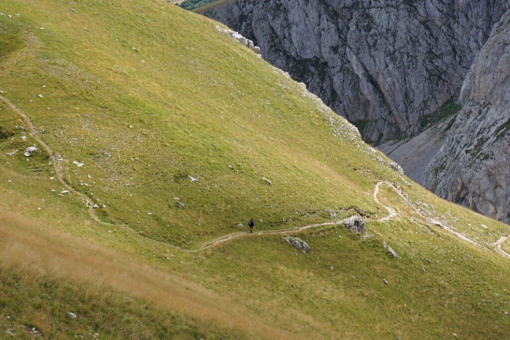
Then we reached the end of the chairlift track, at about 1900 metres, and continued on foot up the mountain until we reached about 2100 metres. You can’t miss the path – it zigzags up to a small plateau. There we met some other hikers/chair lift riders, but fortunately it was very quiet up there when we visited.
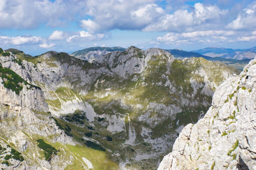
From up there you have an indescribable view over Crno Jezero, which we had already discovered. From up here, the lake lived up to its name “Black Lake”. It really was like a black spot in the landscape. The surrounding mountains stood majestically and formed a panorama that one can only dream of.
After a while, we made our way back down to the chairlift. Once there – and I don’t know how we got there – we decided to walk down the mountain.
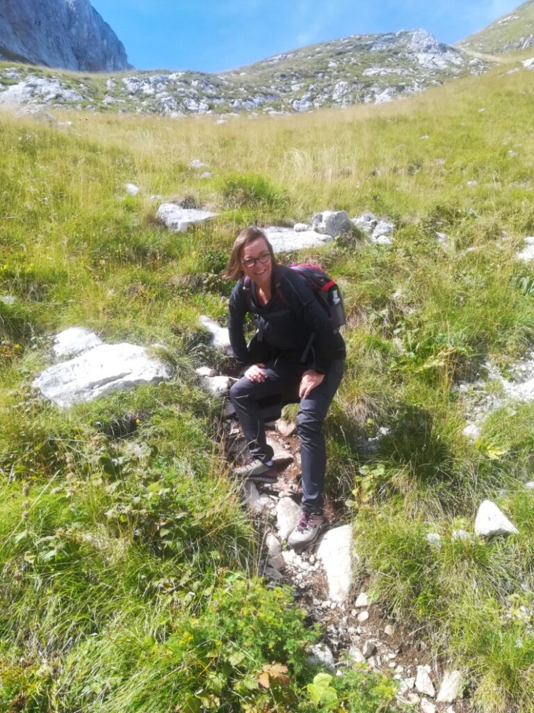
Good thing we had our hiking boots on. At first the path was still visible as a trail. After a while we found ourselves in a scree landscape that we had to cross in order to continue towards the valley. The stones were loose, slipping away and finding a foothold often proved quite difficult. I admired the hikers who walked this way uphill. This gradient and then the ground, it was not easy. At one point in the terrain we took a picture of me. There we were again on a “path” and the terrain behind me is very steep.
When we arrived at the middle station of the chairlift, our knees were shaking from the exertion and we preferred to take the cable car the rest of the way.
Even though I was really exhausted – I wouldn’t want to miss the experience. It was really a great experience and the landscape is simply worth seeing and makes me want to explore more of Durmitor National Park.


Leave a Reply